Paddleboarding spots in Na h-Eileanan Siar
120 launch spots across Na h-Eileanan Siar
Every mapped spot in Na h-Eileanan Siar
Zoom in to split a cluster; open a pin for the spotMap of every spot in Na h-Eileanan Siar
The interactive map opens on any device with JavaScript. The full list of launch spots is below.
Launch spots
Showing 24 of 120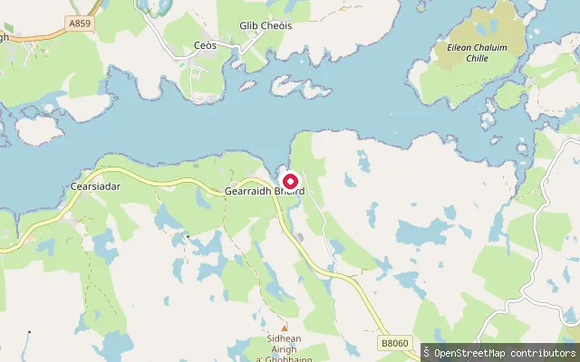 Sea
SeaCabharstaigh put-in
Na h-Eileanan Siar, ScotlandThis slipway sits at Cabharstadh (Caversta), a small settlement in the Pairc district on the south shore of Loch Erisort, opposite Keose. The headland Rubha Cabharstaidh, with the ruins of a blackhouse settlement, lies at the end of the Caversta road nearby.
 Sea
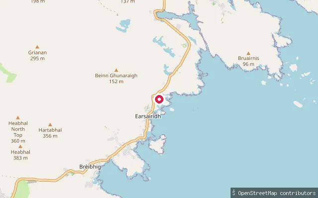
SeaBuaile nam Bodach slipway (Northbay)
Na h-Eileanan Siar, ScotlandThis slipway sits at Buaile nam Bodach, a small settlement on North Bay (Bàgh a Tuath), a broad inlet on Barra's north-east coast roughly 7 km from Castlebay. North Bay offers an alternative mooring in southerly or westerly winds, though its pier has only limited facilities, and the A888 gives road access past Barra's tidal airport at Traigh Mhòr nearby.
 Sea
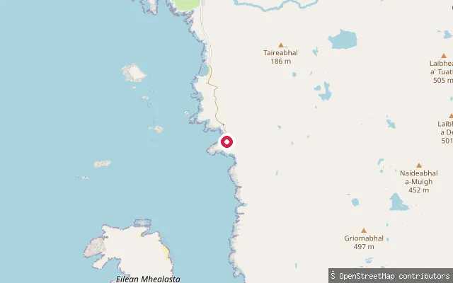
SeaBuaile Fainis slipway
Na h-Eileanan Siar, ScotlandA concrete slipway at Buaile Fainis, a cove on the Atlantic coast of Uig on the Isle of Lewis, close to the deserted township of Mealista where the public road effectively ends beyond Brenish. The surrounding coastline is remote heather moorland scattered with small lochs.
 Sea
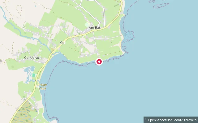
SeaBrèibhig put-in (Am Bac)
Na h-Eileanan Siar, ScotlandThis slipway is at Brèibhig (Breivig) pier in the village of Back, on the shore of Broad Bay on Lewis's east coast. It is a working fishery pier with a slipway and crane, though the entrance channel has restricted visibility behind the outer sea wall and the harbour can pick up swell after prolonged northerly winds.
 Sea
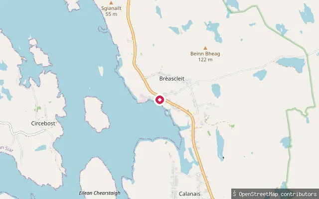
SeaBrèascleit put-in
Na h-Eileanan Siar, ScotlandA concrete slipway at Breasclete, a crofting village on the east shore of East Loch Roag, about 12 miles west of Stornoway and close to the Callanish Stones.
 Sea
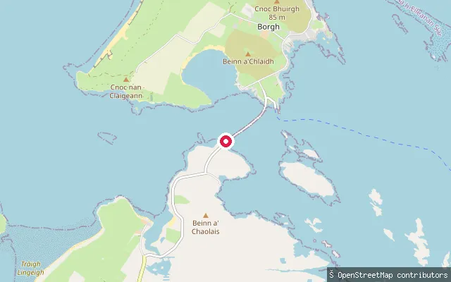
SeaOtternish slipway (north)
Na h-Eileanan Siar, ScotlandA second slipway roughly 80 metres from the first, also on the Otternish shore at the North Uist end of the Berneray causeway. It faces the same stretch of the Sound of Harris, the channel separating North Uist from Harris.
 Sea
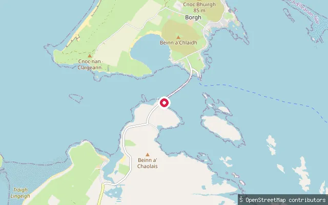
SeaOtternish slipway
Na h-Eileanan Siar, ScotlandThis slipway sits at Otternish on North Uist, at the mainland end of the causeway to Berneray, on the shore of the Sound of Harris. Otternish was the ferry terminal for Berneray before the causeway opened in 1998, and the Sound here runs for about eight nautical miles between North Uist and Harris.
 Sea
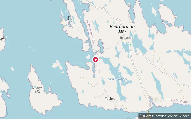
SeaBhalasaigh put-in (Tacleit)
Na h-Eileanan Siar, ScotlandA slipway on the south coast of Great Bernera at Tacleit, a crofting township about half a mile northwest of the Bernera bridge. It launches onto Loch Roag, the sea loch that surrounds Great Bernera and links the island to the Lewis mainland by a single-span bridge opened in 2021.
 Sea
SeaBaile an Truiseil put-in
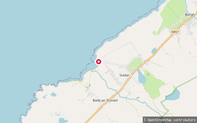
Na h-Eileanan Siar, ScotlandThis slipway serves Ballantrushal Shore, a pebble beach on the open Atlantic coast at Ballantrushal (Baile an Truiseil) on Lewis's West Side. The village takes its name from the nearby Clach an Trushal standing stone, said to be the largest prehistoric standing stone in Scotland.
 Sea
SeaVatersay Bay slipway (Bàgh Bhatarsaigh)
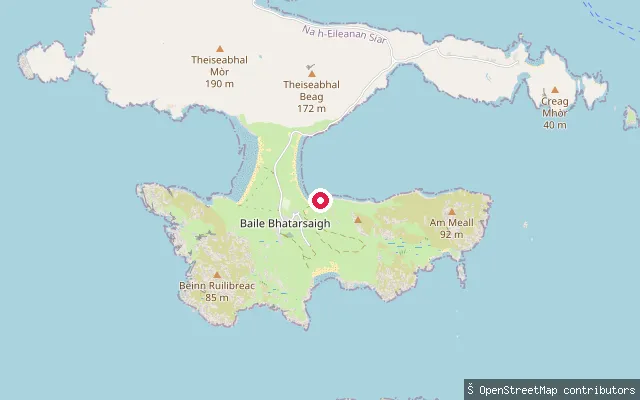
Na h-Eileanan Siar, ScotlandThis slipway serves Vatersay Bay, the sheltered inlet on the east side of Vatersay village also known as East Beach, where a fishing pontoon and slipway have recently been completed. A long sandy beach backs the bay, and the community hall behind it has public toilets year round plus a summer cafe and showers. A second, unserviced beach lies a short walk west over the dunes.
 Sea
SeaAn t-Òb put-in
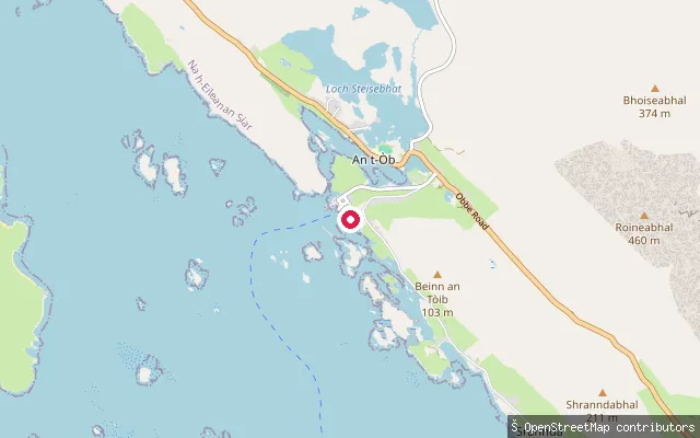
Na h-Eileanan Siar, ScotlandA slipway further along Ferry Road in Leverburgh, on the Sound of Harris around 230m east of the main ferry ramp, within the village's small harbour area.
 Sea
SeaAn t-Òb put-in
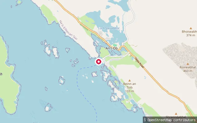
Na h-Eileanan Siar, ScotlandA slipway on Ferry Road in Leverburgh (An t-Òb), on the south coast of Harris where the Sound of Harris opens towards the Atlantic. The Caledonian MacBrayne ferry to Berneray leaves from close by, following a buoyed channel through the sound's reefs and skerries.
 Loch
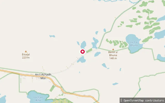
LochAn t-Achadh Mòr put-in
Na h-Eileanan Siar, ScotlandThis put-in is on Loch Achmore, a freshwater loch by the inland village of Achmore (An t-Acha Mòr) in the Lochs area of Lewis, about 11 km south-west of Stornoway. Stornoway Angling Association manages the loch for brown trout fishing and notes it can be fished from a boat, with better results away from turbid water.
 Sea
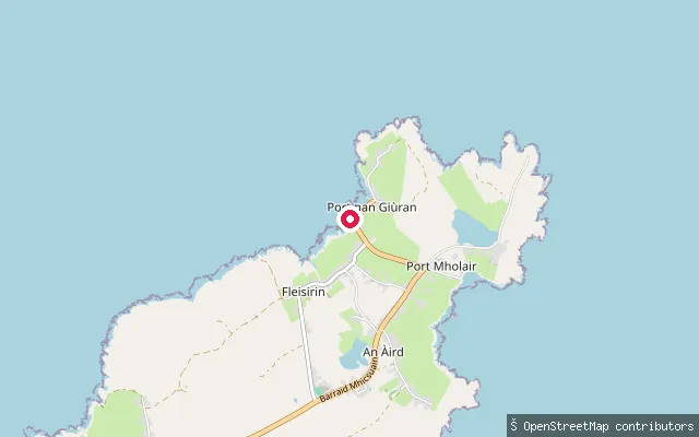
SeaAn Rubha put-in (Port nan Giùran)
Na h-Eileanan Siar, ScotlandThis concrete slipway sits on the north coast of the Point (An Rubha) peninsula near Port nan Giùran (Portnaguran), on the Broad Bay shore east of Stornoway. It is one of several small slipways serving the crofting townships strung along Point's Broad-Bay-facing coast.
 Sea
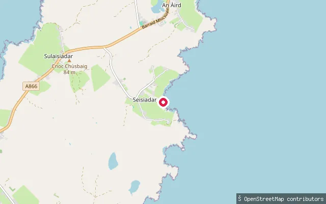
SeaAn Rubha put-in (Sheshader)
Na h-Eileanan Siar, ScotlandThis slipway lies on the Point (An Rubha) peninsula near Sheshader (Seisiadar), on the coast south-east of Stornoway across the Braighe isthmus. The specific bay or inlet it opens onto could not be confirmed from available sources.
 Sea
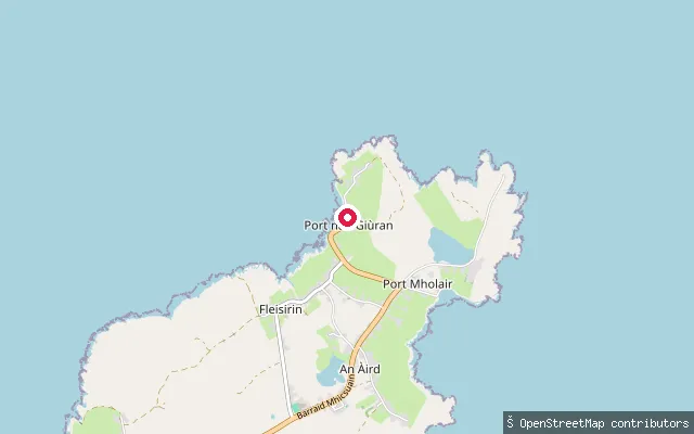
SeaAn Rubha put-in (Port nan Giùran)
Na h-Eileanan Siar, ScotlandThis slipway is a second launch point on the Broad Bay shore near Port nan Giùran (Portnaguran), on the north coast of the Point (An Rubha) peninsula east of Stornoway, roughly 500 metres from another mapped slipway (way/1250475771) in the same stretch of coast.
 Sea
SeaVatersay Causeway slipway
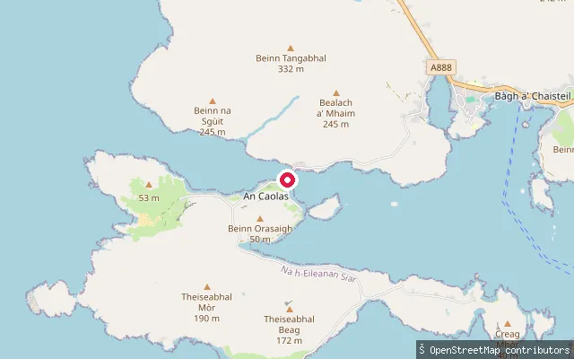
Na h-Eileanan Siar, ScotlandThis slipway sits beside Cabhsair Bhatarsaigh, the causeway that has linked Vatersay to Barra since 1991, and launches onto the Sound of Vatersay, the strait Gaelic speakers call An Caolas. The sound is only 250 metres wide but runs to 11 metres deep with strong tidal currents at all states of the tide, since it connects the Atlantic to the Sea of the Hebrides. The slipway has a concrete surface and permissive access, with trailer launching, water, power and council-card diesel available on site.
 Sea
SeaVatersay Causeway slipway
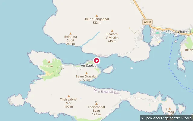
Na h-Eileanan Siar, ScotlandThis slipway sits beside Cabhsair Bhatarsaigh, the causeway that has linked Vatersay to Barra since 1991, and launches onto the Sound of Vatersay, the strait Gaelic speakers call An Caolas. The sound is only 250 metres wide but runs to 11 metres deep with strong tidal currents at all states of the tide, since it connects the Atlantic to the Sea of the Hebrides. The slipway has a concrete surface and permissive access, with trailer launching, water, power and council-card diesel available on site.
 Sea
SeaAn Caolas slipway
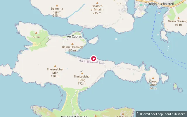
Na h-Eileanan Siar, ScotlandThis slipway lies about a kilometre south of the Vatersay Causeway, on the same stretch of shore within the small settlement of An Caolas, and launches onto the Sound of Vatersay, the tidal strait between Barra and Vatersay. Reverse geocoding places it on Cabhsair Bhatarsaigh, the causeway road, within An Caolas rather than the causeway crossing itself.
 Sea
SeaAn Cadha put-in (An Tairbeart)
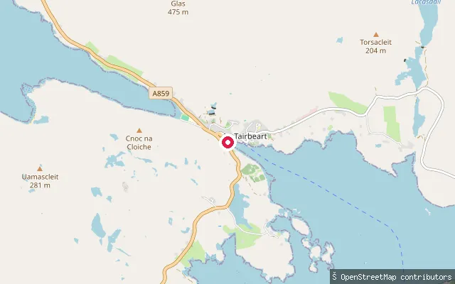
Na h-Eileanan Siar, ScotlandThis is the service track to the An Cadha slipway, a small shoreline settlement on East Loch Tarbert between Tarbert and Direcleit. East Loch Tarbert is the sea loch on whose isthmus Tarbert itself stands. Tarbert's harbour and marina, with further slipway and quay access, lie a short distance north.
 Sea
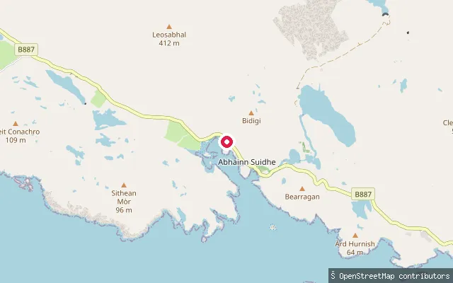
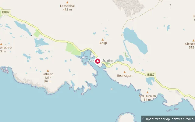
SeaAmhuinnsuidhe Castle slipway
Na h-Eileanan Siar, ScotlandA concrete slipway below Amhuinnsuidhe Castle on the north shore of West Loch Tarbert, a sea loch on North Harris. The Victorian castle and its surrounding sporting estate, long run for salmon fishing and deer stalking, passed into community ownership under the North Harris Trust in 2003.
 Sea
SeaGòbhaig slipway, West Loch Tarbert
Na h-Eileanan Siar, ScotlandA slipway on the West Loch Tarbert shore near the hamlet of Gòbhaig, a short distance from Amhuinnsuidhe Castle on North Harris, reached off the B887.
 Sea
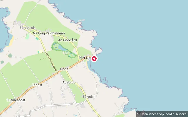
SeaPort of Ness slipway
Na h-Eileanan Siar, ScotlandA slipway in the harbour at Port of Ness (Port Nis), on the north-east tip of the Isle of Lewis, launching onto the North Minch. The harbour was built in the early 19th century, enlarged in 1893, and given a breakwater the following year. The OSM way carries a seamark note that launch here is by car.
 Sea
SeaLoch Sgiopoirt put-in
Na h-Eileanan Siar, ScotlandThis concrete slipway sits on Loch Skiport (Loch Sgiopoirt), a sea loch on the isolated north-east coast of South Uist, close to the near-abandoned hamlet of Lochskipport at its head. A ruined pier that once served as a ferry stop stands nearby, and Ornish Island marks the loch's entrance.
Save your own spots
Keep the places you launch, check the wind and shelter before you go, and log every paddle. Add a spot to the directory too, and other paddlers will find it. Free to start.
Some launch spots in this directory are seeded from open data. © OpenStreetMap contributors · Open Database Licence (ODbL)