Paddleboarding spots in Highland
186 launch spots across Highland
Every mapped spot in Highland
Zoom in to split a cluster; open a pin for the spotMap of every spot in Highland
The interactive map opens on any device with JavaScript. The full list of launch spots is below.
Launch spots
Showing 24 of 186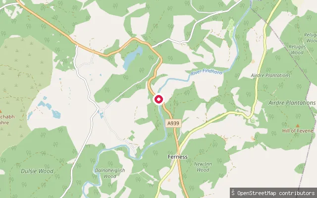 River
RiverLogie Bridge
Highland, ScotlandA whitewater put-in on the River Findhorn at Logie Bridge, near Ferness in the Ardclach area upstream of Randolph's Leap. The Ardclach Bell Tower, a historic watchtower overlooking the Findhorn valley, stands nearby and is open to visitors year-round.
 Loch
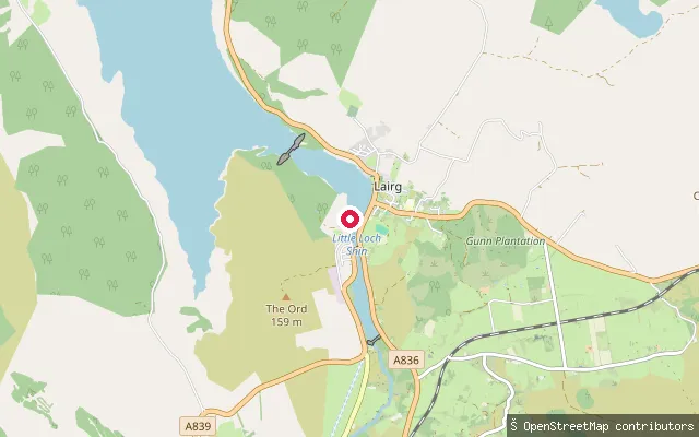
LochLoch Shin Ferrycroft Slipway
Highland, ScotlandLoch Shin is the largest loch in Sutherland, a 17-mile freshwater loch that was raised by around nine metres when the Lairg dam was built as part of a 1950s hydroelectric scheme, turning it into a reservoir. This free, concrete slipway sits on the loch's southern shore at Lairg, beside the Ferrycroft Visitor Centre.
 Sea
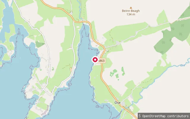
SeaLoch Caroy Jetty
Highland, ScotlandLoch Caroy is a small sea inlet of Loch Bracadale on Skye's Duirinish peninsula. A jetty and slipway give access to the loch; a paddling access-point list for Skye records a slipway here at grid reference NG306425 with no information on parking.
 Sea
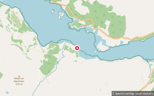
SeaLaudale House put-in
Highland, ScotlandLaudale House stands on the south shore of Loch Sunart on the Morvern peninsula, where the public road along the loch comes to an end. The put-in is an unmarked slipway beside the estate's restored 18th-century former shooting lodge, now run as self-catering accommodation.
 Sea
SeaArdelve Slipway (Dornie Pier)
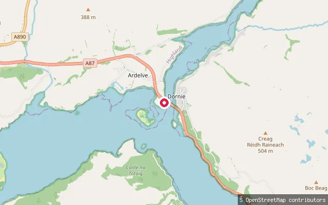
Highland, ScotlandA category B listed slipway at Ardelve, on the opposite bank of the road bridge from Dornie, that served the ferry crossing over Loch Long before the bridge was built. It is one of two public slipways at the bridge giving access to the meeting point of Loch Duich, Loch Long and Loch Alsh near Eilean Donan Castle.
 Sea
SeaLaga put-in (Glenborrodale)
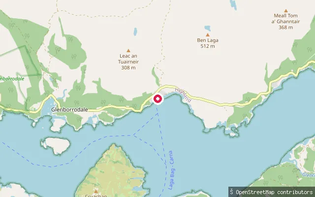
Highland, ScotlandLaga is a small hamlet within Glenborrodale, on the Ardnamurchan shore of Loch Sunart. The put-in sits on Laga Bay, a tidal inlet next to the larger Glenborrodale Bay, on this Highland sea loch.
 Sea
SeaKylesku Hotel slipway
Highland, ScotlandThis is the same slipway area as node/2191445683, by the Kylesku Hotel on Loch a' Chàirn Bhàin, at the site of the former Kylesku Ferry crossing. It is used to launch kayaks and paddleboards onto the loch, with routes running east toward the sheltered Loch Glendhu and Loch Glencoul.
 Sea
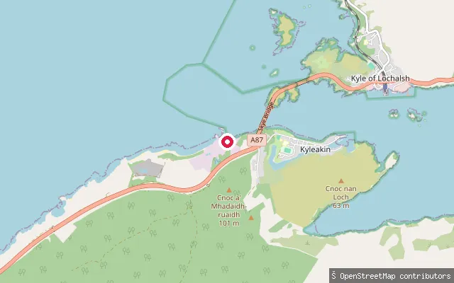
SeaKyleakin put-in (West Kyleside)
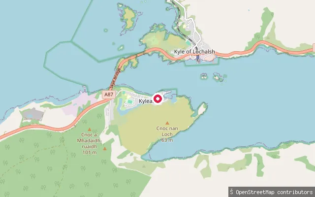
Highland, ScotlandThis concrete slipway is further along Kyleside towards the western edge of Kyleakin village, launching onto Kyle Akin, the sound separating Skye from the mainland beneath the Skye Bridge.
 Sea
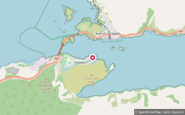
SeaKyleakin put-in
Highland, ScotlandA slipway at Kyleakin on the Isle of Skye, on the narrow strait of Kyle Akin that separates the island from Kyle of Lochalsh on the mainland. A ferry crossed the strait here from 1841 until 1995, when it was replaced by the Skye Bridge, which now spans the water a short distance from the village.
 Sea
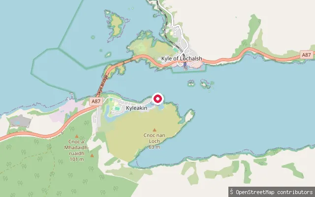
SeaKyleakin put-in (Kyleside)
Highland, ScotlandThis slipway sits immediately next to another mapped slipway on Kyleside in Kyleakin harbour on Skye, on the same short stretch of shore onto Kyle Akin below the Skye Bridge.
 Sea
SeaKyleakin put-in (Kyleside)
Highland, ScotlandThis concrete slipway is on Kyleside by Kyleakin harbour on Skye, launching onto Kyle Akin, the narrow strait crossed by the Skye Bridge. Kyleakin was the island's main vehicle-ferry port to the mainland until the bridge opened in 1995, and the old slipway, harbour and quay survive from that era.
 Sea
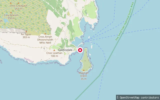
SeaGalmisdale slipway
Highland, ScotlandThis slipway lies in Galmisdale Bay on Eigg's southeast coast, close to the island's main ferry pier. The harvested name linked it to Kildonnan, but the historic Kildonnan chapel and graveyard sit about 1.5 kilometres further south along the shore.
 Sea
SeaKeiss Harbour slipway
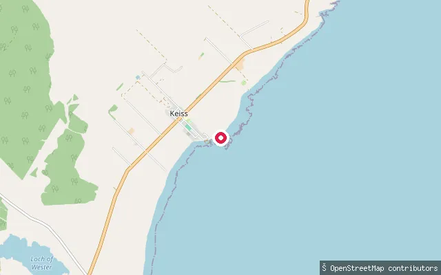
Highland, ScotlandKeiss Harbour was built in 1832 from local stone to serve the village's fishing boats on Sinclair's Bay. The harbour is tidal, which restricts access at low tide, though local boats still use it for crab and lobster fishing today.
 Sea
SeaKeiss old slipway (disused)
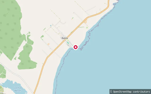
Highland, ScotlandA second, disused slipway lies close to Keiss Harbour on Sinclair's Bay. OpenStreetMap records it as disused and cross-references it to Canmore, Scotland's historic environment record, suggesting it is an older landing separate from the harbour slipway still in use nearby.
 Loch
LochInverosie put-in
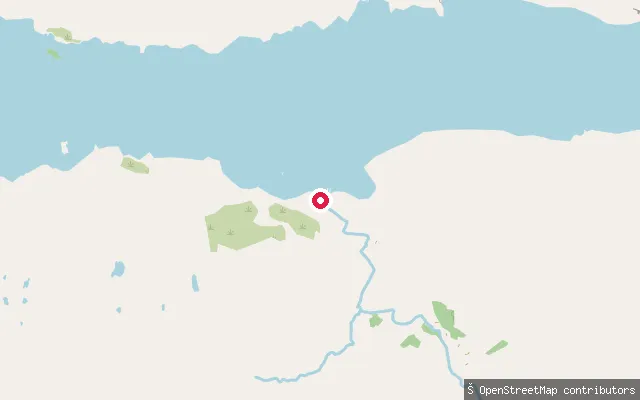
Highland, ScotlandInverosie is a small hamlet on the remote south shore of Loch Morar, the deepest freshwater loch in the British Isles at over 300 metres. There is no road along this shore, so this put-in is reached only on foot or by boat. The loch's main inflow, the River Meoble, enters nearby on the same side.
 Loch
LochAbriachan slipway (Loch Ness)
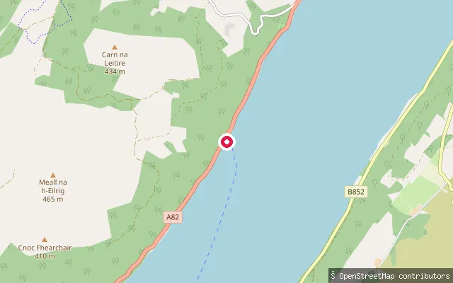
Highland, ScotlandAn unnamed slipway on the A82 loch-side road near the hamlet of Balchraggan and the village of Abriachan, on the north-west shore of Loch Ness roughly 9 miles south-west of Inverness.
 Sea
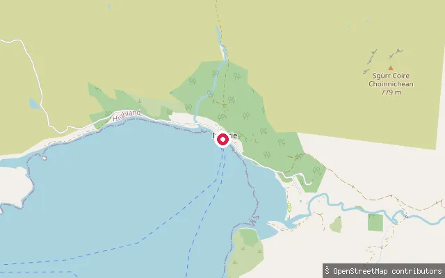
SeaInverie put-in
Highland, ScotlandInverie is Knoydart's main village, on the north shore of Loch Nevis, a sea loch separating the peninsula from Morar. With no road link to the rest of Scotland, it is reached by a subsidised passenger ferry from Mallaig or on foot, and this slipway sits beside the ferry terminal.
 Sea
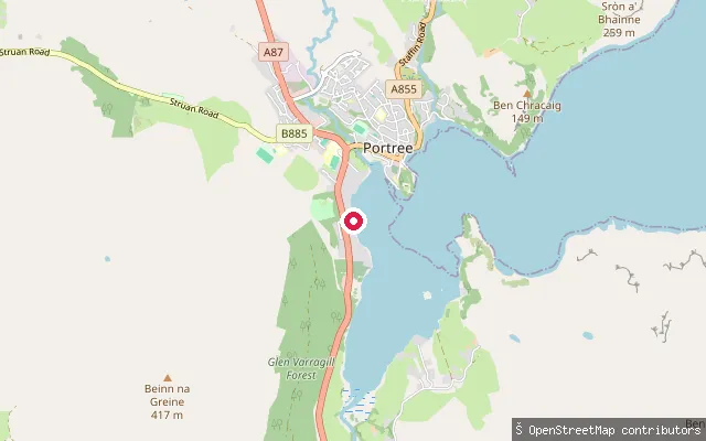
SeaInveralivaig put-in (Portree)
Highland, ScotlandA concrete slipway on the west shore of Loch Portree a short distance south of Portree town, near the small township of Inveralivaig, which is reached on foot by a short path descending from Penifiler.
 Sea
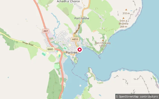
SeaPortree Harbour slipway
Highland, ScotlandA slipway inside Portree Harbour itself, close to Quay Street on the west shore of Loch Portree. Highland Council, which manages the harbour, lists a slipway here used for small passenger launches and fish landing alongside the main pier.
 Sea
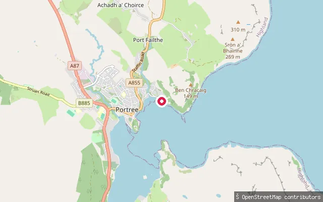
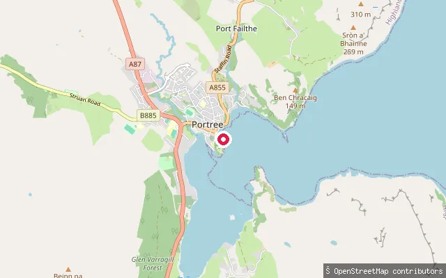
SeaScorrybreac slipway (Portree)
Highland, ScotlandA concrete slipway on the Scorrybreac shore at the mouth of Portree's harbour, below the Cuillin Hills Hotel, with Skye Sailing Club's boathouse at the top of it. The Scorrybreac Circuit coastal path, part of the Skye Trail, starts from the same shoreside road and looks out across the Sound of Raasay to the island of Raasay.
 Sea
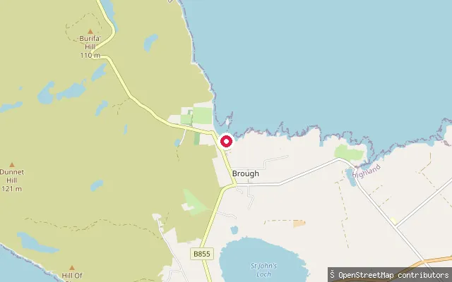
SeaQuay Street slipway (Portree)
Highland, ScotlandA second concrete slipway on Portree's harbourfront, a short distance south along the shore from the main harbour slipway, reached off the service road that runs down to Quay Street on the west side of Loch Portree.
 Sea
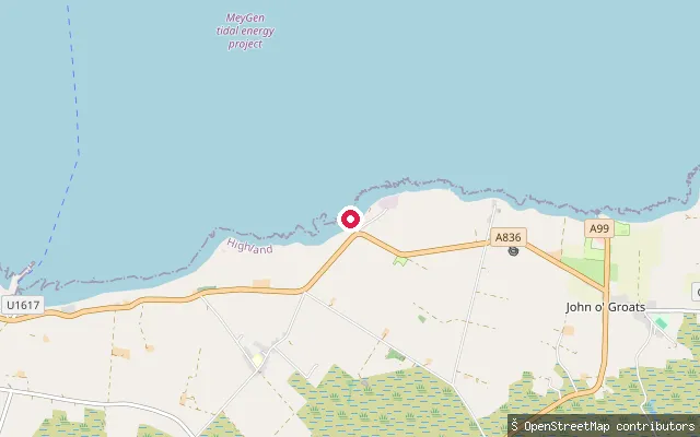
SeaBrough Pier
Highland, ScotlandThis pier sits in the hamlet of Hunspow, on Brough Bay on the south shore of the Pentland Firth close to Dunnet Head. Brough's small, cliff-sheltered harbour is a base for stand-up paddleboarding lessons, and grey seals are regularly seen around the pier.
 Sea
SeaHuna put-in (John o' Groats)
Highland, ScotlandHuna is a small settlement on the Pentland Firth shore about a mile east of John o' Groats, facing the island of Stroma. Its long slipway was built in 1890 for the Huna lifeboat, which launched into the Firth here until the station closed in 1930; a community committee has maintained the slipway since 1970.
 Sea
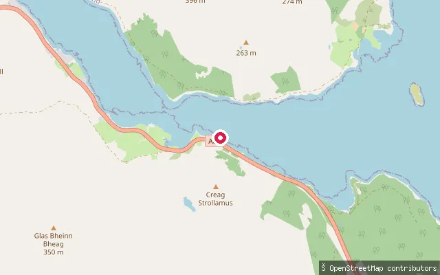
SeaLoch na Cairidh put-in (Strollamus)
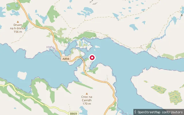
Highland, ScotlandA concrete slipway on the A87 shoreline of Loch na Cairidh, between Strollamus and Ard Dorch on Skye. This sea loch fronts the island of Scalpay.
Save your own spots
Keep the places you launch, check the wind and shelter before you go, and log every paddle. Add a spot to the directory too, and other paddlers will find it. Free to start.
Some launch spots in this directory are seeded from open data. © OpenStreetMap contributors · Open Database Licence (ODbL)