Paddleboarding spots in Inverclyde
14 launch spots across Inverclyde
Every mapped spot in Inverclyde
Zoom in to split a cluster; open a pin for the spotMap of every spot in Inverclyde
The interactive map opens on any device with JavaScript. The full list of launch spots is below.
Launch spots
Showing 14 of 14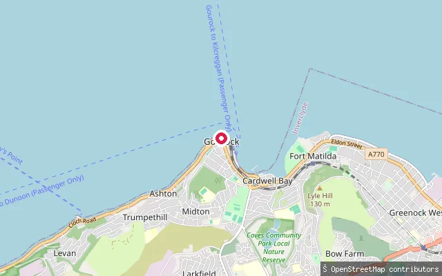 Sea
SeaMidton put-in (Gourock)
Inverclyde, ScotlandA slipway on the Gourock seafront in the Midton area, next to a stretch of beach and the Inverclyde Coastal Path cycleway on the upper Firth of Clyde.
 Sea
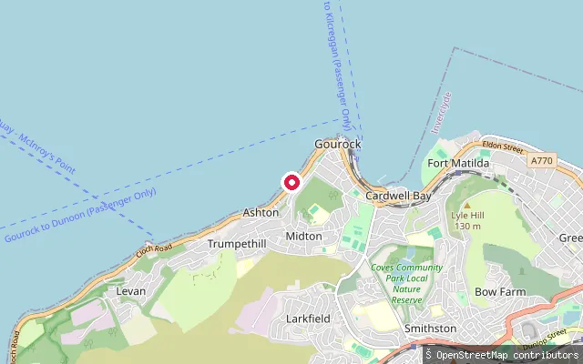
SeaMidton put-in (Gourock)
Inverclyde, ScotlandA second slipway further along the Gourock shorefront toward Ashton, on the upper Firth of Clyde.
 Sea
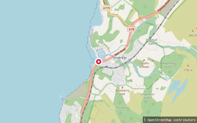
SeaInverkip put-in
Inverclyde, ScotlandA slipway at Inverkip, a village on the Firth of Clyde about 8km south-west of Greenock, near the mouth of the Kip Water and a short distance north of Kip Marina.
 Sea
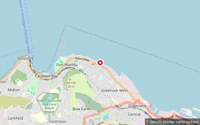
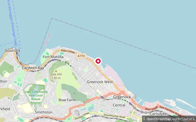
SeaGreenock West put-in
Inverclyde, ScotlandA slipway on Greenock's esplanade on the Firth of Clyde, part of the mile-long waterfront walk that runs west from the town's Ocean Terminal.
 Sea
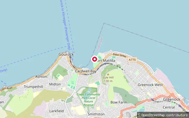
SeaGreenock West put-in
Inverclyde, ScotlandA second slipway on Greenock's esplanade on the Firth of Clyde, around 500m east of the other Greenock West put-in.
 Sea
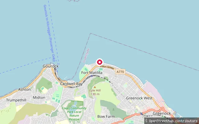
SeaFort Matilda put-in (Greenock)
Inverclyde, ScotlandA slipway at Fort Matilda, a shoreline area of Greenock between the town centre and Gourock, on the Firth of Clyde close to Fort Matilda railway station and the Royal West of Scotland Amateur Boat Club, which runs kayaking, rowing and sailing from the esplanade here.
 Sea
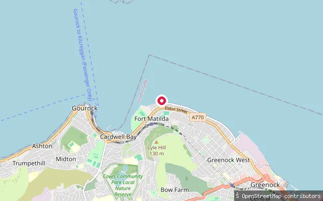
SeaFort Matilda put-in (Greenock)
Inverclyde, ScotlandA slipway on the Greenock esplanade a short distance from the previous Fort Matilda put-in, on the Firth of Clyde between Fort Matilda and Greenock town centre.
 Sea
SeaFort Matilda put-in (Greenock)
Inverclyde, ScotlandA slipway on the Greenock esplanade east of Fort Matilda, on the Firth of Clyde between Fort Matilda and Greenock town centre.
 Sea
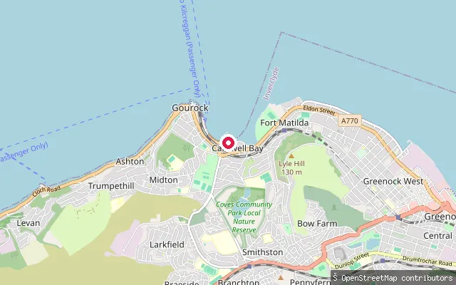
SeaCardwell Bay put-in (Gourock)
Inverclyde, ScotlandA slipway at the western end of Cardwell Bay in Gourock, laid out as a short service road down to the water, with a linked historic-environment record against it.
 Sea
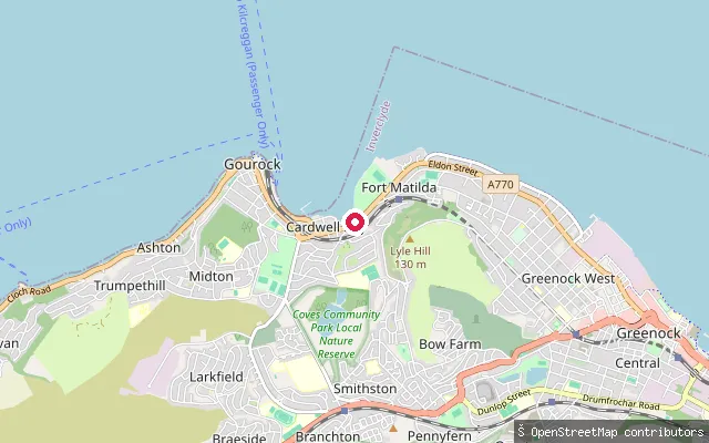
SeaCardwell Bay put-in (Gourock)
Inverclyde, ScotlandA slipway at the eastern end of the Cardwell Bay shorefront in Gourock, close to the boundary with the Fort Matilda area of Greenock.
 Sea
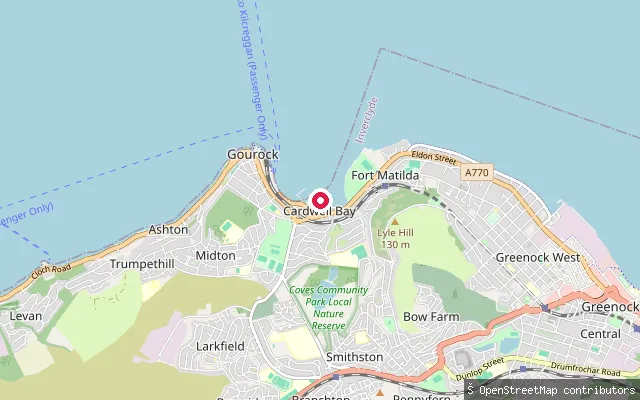
SeaCardwell Bay put-in (Gourock)
Inverclyde, ScotlandA second slipway on Cardwell Bay in Gourock, a short distance from the first Cardwell Bay put-in and reached off a short service road down to the shore.
 Sea
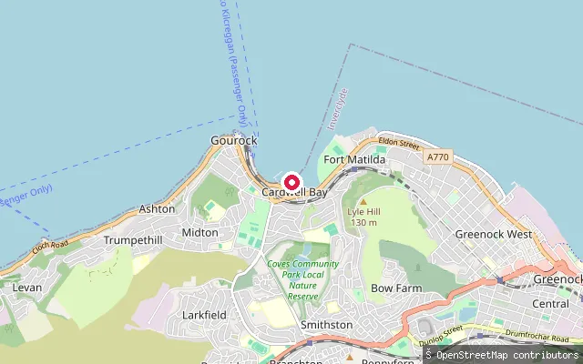
SeaCardwell Bay put-in (Gourock)
Inverclyde, ScotlandA slipway on Cardwell Bay on Gourock's seafront, on the upper Firth of Clyde close to the town's promenade and pier. The OSM node itself carries no access or surface detail beyond marking the launch point.
 River
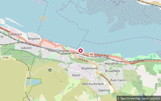
RiverBoglestone put-in (Port Glasgow)
Inverclyde, ScotlandA slipway on the Clyde shore at the eastern edge of Port Glasgow, in the Boglestone area of the town.
 Sea
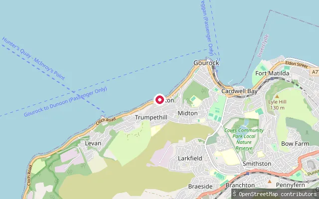
SeaAshton put-in (Gourock)
Inverclyde, ScotlandA slipway at Ashton, a promenade district of Gourock that forms part of the Inverclyde Coastal Path, on the upper Firth of Clyde.
Save your own spots
Keep the places you launch, check the wind and shelter before you go, and log every paddle. Add a spot to the directory too, and other paddlers will find it. Free to start.
Some launch spots in this directory are seeded from open data. © OpenStreetMap contributors · Open Database Licence (ODbL)