Paddleboarding spots in Shetland Islands
55 launch spots across Shetland Islands
Every mapped spot in Shetland Islands
Zoom in to split a cluster; open a pin for the spotMap of every spot in Shetland Islands
The interactive map opens on any device with JavaScript. The full list of launch spots is below.
Launch spots
Showing 7 of 55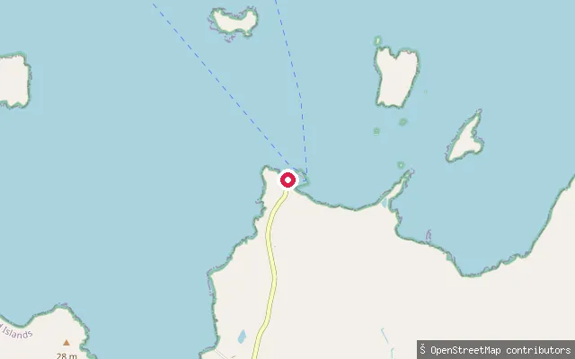 Sea
SeaOddsta slipway (Fetlar)
Shetland Islands, ScotlandThis slipway lies near Oddsta and Hamars Ness on Fetlar's west coast, on Colgrave Sound, the strait separating Fetlar from Yell and the island of Hascosay. The Fetlar ferry to Gutcher on Yell and Belmont on Unst sails from the nearby Hamars Ness terminal, rebuilt with a new breakwater in 2012.
 Sea
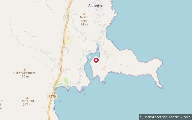
SeaDisaldo put-in (Aithsetter)
Shetland Islands, ScotlandThis is the way-geometry of the same Aithsetter slipway on Shetland's South Mainland, launching onto Mousa Sound opposite the island of Mousa. OSM tags it as a service road with car access down to the slipway, also marked as a small-craft facility for mariners.
 Sea
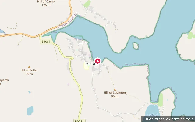
SeaCamb put-in (Mid Yell)
Shetland Islands, ScotlandThis slipway is part of Linkshouse Pier on Mid Yell Voe, the sheltered sea inlet on Yell's east coast around which the village of Mid Yell, the island's largest settlement, is built.
 Sea
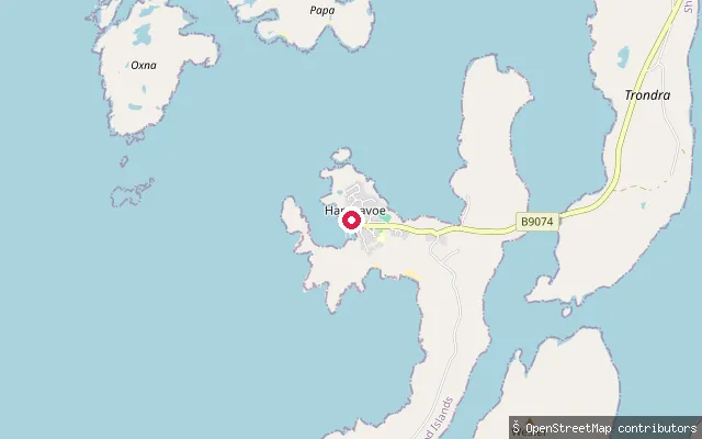
SeaBurra and Trondra put-in (Bridge End)
Shetland Islands, ScotlandA car-accessible slipway at Bridge End in Hamnavoe village, on the road bridge crossing that links Trondra to Burra in the Scalloway Islands. It launches onto Hamna Voe, the sheltered inlet the village is named for.
 Sea
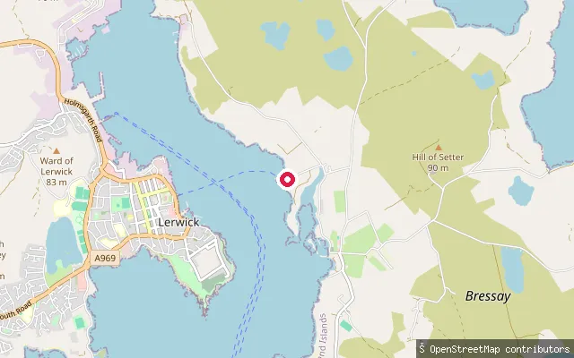
SeaBressay put-in
Shetland Islands, ScotlandA slipway at Heogan on Bressay island, facing Lerwick across Bressay Sound. Bressay itself sits south of Whalsay and north of Mousa, with most of its roughly 350 residents living on the west coast facing the Sound.
 Sea
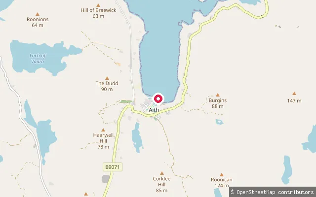
SeaAith put-in
Shetland Islands, ScotlandAith Voe is a sheltered sea inlet on Shetland Mainland's north-west coast, with the village of Aith at its head. Aith Voe was picked as one of the most sheltered moorings on this coast, and the village hosts the UK's most northerly RNLI lifeboat station at its southern end.
 Sea
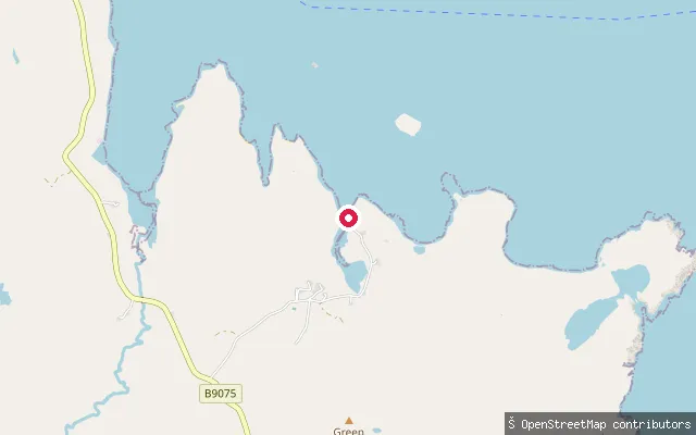
SeaLaxfirth slipway
Shetland Islands, ScotlandThis slipway sits at the head of Lax Firth, a sheltered sea inlet on the east coast of Shetland Mainland in Nesting parish, close to the hamlet of Gott. It is mapped on OpenStreetMap simply as a slipway, with no further access details recorded.
Save your own spots
Keep the places you launch, check the wind and shelter before you go, and log every paddle. Add a spot to the directory too, and other paddlers will find it. Free to start.
Some launch spots in this directory are seeded from open data. © OpenStreetMap contributors · Open Database Licence (ODbL)