Paddleboarding spots in Isle of Anglesey
33 launch spots across Isle of Anglesey
Every mapped spot in Isle of Anglesey
Zoom in to split a cluster; open a pin for the spotMap of every spot in Isle of Anglesey
The interactive map opens on any device with JavaScript. The full list of launch spots is below.
Launch spots
Showing 9 of 33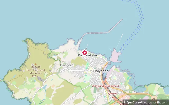 Sea
SeaLlaingoch slipway
Isle of Anglesey, WalesThis slipway sits on the Irish Sea coast at Llaingoch, a coastal district on the western edge of Holyhead on Holy Island, Anglesey. It lies about 26 metres from another mapped launch point (node/4545696393), likely the same physical slipway recorded twice.
 Sea
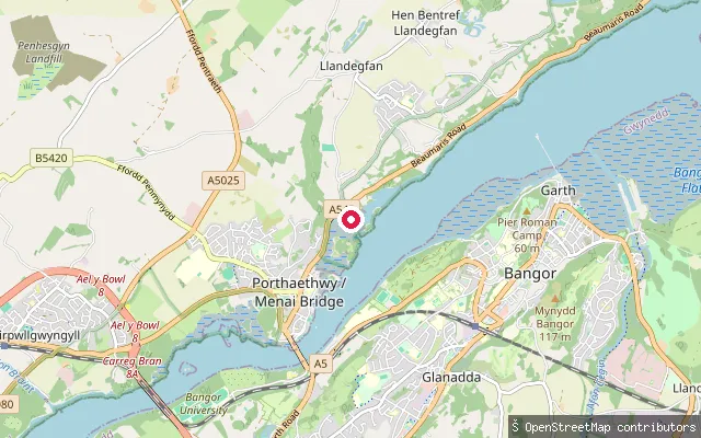
SeaCwm Cadnant put-in (Llandegfan)
Isle of Anglesey, WalesThis slipway sits on the tidal Menai Strait shore at Cwm Cadnant, about 90 metres from another mapped slipway of the same name, on the coast road between Menai Bridge and Beaumaris in the community of Llandegfan. The community takes its name from the Afon Cadnant, whose lower reach here forms the Cadnant Dingle Site of Special Scientific Interest.
 Sea
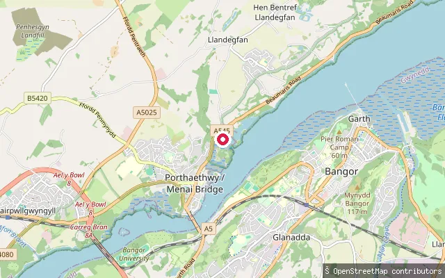
SeaCwm Cadnant put-in (Llandegfan)
Isle of Anglesey, WalesThis slipway sits on the tidal Menai Strait shore at Cwm Cadnant, on the coast road between Menai Bridge and Beaumaris in the community of Llandegfan. The community and valley take their name from the Afon Cadnant, whose lower reach through Llandegfan forms the Cadnant Dingle Site of Special Scientific Interest.
 Sea
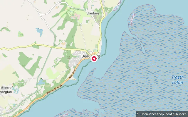
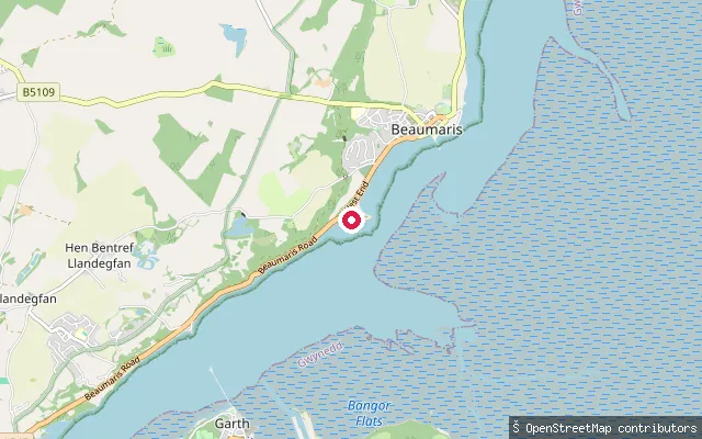
SeaBeaumaris Pier slipway
Isle of Anglesey, WalesThis is a concrete slipway on the Menai Strait in Beaumaris, marked on nautical charts as a small-craft facility, near the town's Victorian pier. Isle of Anglesey County Council is the Statutory Harbour Authority for this part of the strait and runs a Menai Strait Code of Conduct for water users.
 Sea
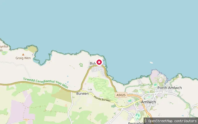
SeaBeaumaris West End slipway
Isle of Anglesey, WalesThis slipway sits on the Menai Strait at the West End of Beaumaris, on the tidal waterway separating Anglesey from the North Wales coast. Isle of Anglesey County Council is the Statutory Harbour Authority for this part of the strait and runs a Menai Strait Code of Conduct for water users.
 Sea
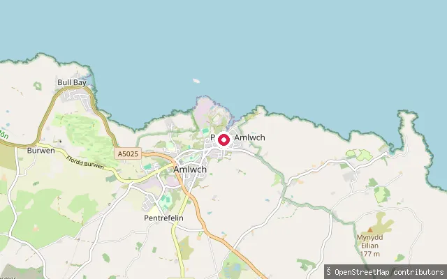
SeaBull Bay slipway
Isle of Anglesey, WalesBull Bay, Porth Llechog in Welsh, is a sheltered rocky bay on Anglesey's north coast about 2 km west of Amlwch, reputed to be the most northerly village in Wales. A gated slipway drops onto the shore here, and the local sea rowing club, Trireme Ynys Môn, keeps its boathouse near the former lifeboat station on the bay.
 Sea
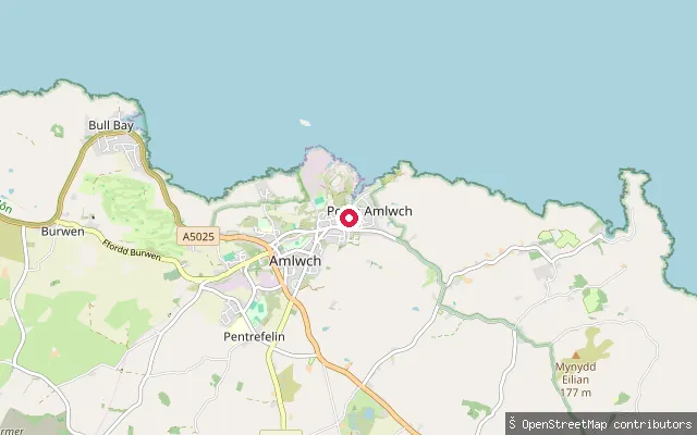
SeaAmlwch put-in
Isle of Anglesey, WalesAmlwch Port is the restored harbour on Anglesey's north coast that once shipped copper ore from Parys Mountain. A slipway off Lôn y Cei gives access to the harbour basin and open water at the harbour mouth.
 Sea
SeaAmlwch put-in
Isle of Anglesey, WalesAmlwch Port is the restored harbour on Anglesey's north coast that once shipped copper ore from Parys Mountain. A slipway off Lôn y Cei gives access to the harbour basin and open water at the harbour mouth.
 Sea
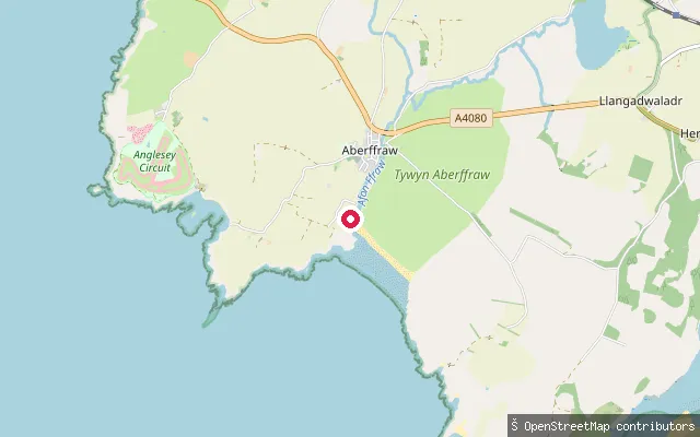
SeaAberffraw put-in
Isle of Anglesey, WalesThis slipway launches into Aberffraw Bay at the mouth of the Afon Ffraw on Anglesey's south-west coast. The beach held a Blue Flag rural award in 2005 and backs onto one of the UK's largest dune systems, protected as a Site of Special Scientific Interest.
Save your own spots
Keep the places you launch, check the wind and shelter before you go, and log every paddle. Add a spot to the directory too, and other paddlers will find it. Free to start.
Some launch spots in this directory are seeded from open data. © OpenStreetMap contributors · Open Database Licence (ODbL)