Paddleboarding spots in Vale of Glamorgan
11 launch spots across Vale of Glamorgan
Every mapped spot in Vale of Glamorgan
Zoom in to split a cluster; open a pin for the spotMap of every spot in Vale of Glamorgan
The interactive map opens on any device with JavaScript. The full list of launch spots is below.
Launch spots
Showing 11 of 11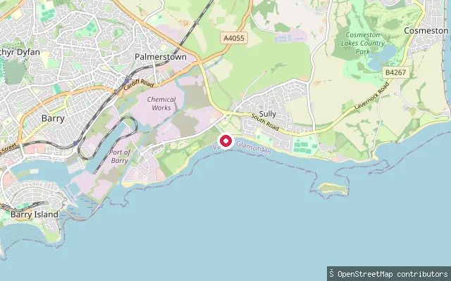 Sea
SeaSully Bay put-in
Vale of Glamorgan, WalesThis put-in launches onto Sully Bay, a stretch of the Bristol Channel between Barry and Lavernock Point, at the village of Sully.
 Sea
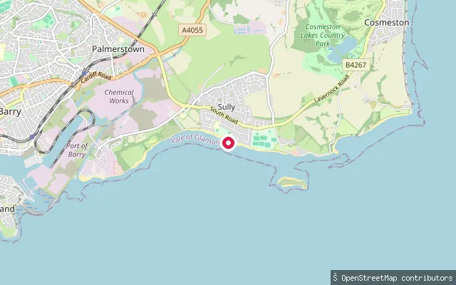
SeaSully Bay put-in (Swanbridge)
Vale of Glamorgan, WalesThis put-in sits near Sully Sailing Club at Swanbridge, on Sully Bay close to the tidal causeway to Sully Island. The causeway floods each tide, with foot access to the island limited to around three hours either side of low water.
 River
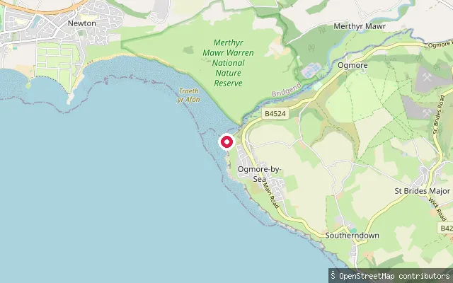
RiverRiver Ogmore put-in (Ogmore-by-Sea)
Vale of Glamorgan, WalesThis put-in is by the car park at the mouth of the River Ogmore in Ogmore-by-Sea, at the western end of the Glamorgan Heritage Coast. The estuary here has sand at low tide and exposed rock at high tide, and Tusker Rock, a reef fully covered at high water, lies a little further offshore.
 Lake
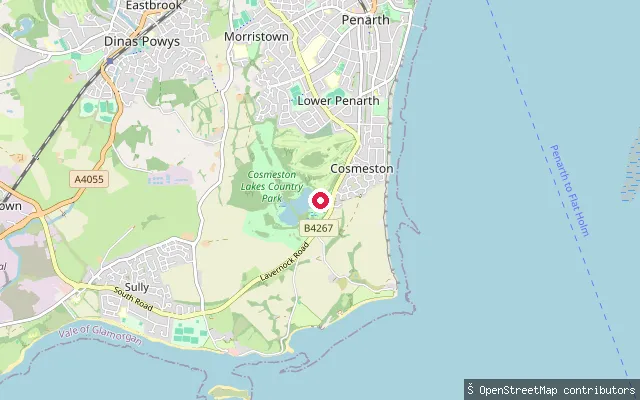
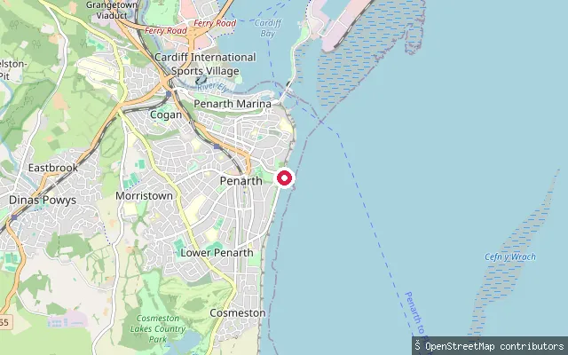
LakeCosmeston Lakes put-in
Vale of Glamorgan, WalesThis put-in is on the eastern of the two lakes at Cosmeston Lakes Country Park, between Penarth and Sully. The lakes formed in a limestone quarry worked until 1970, and Vale of Glamorgan Council, which owns the park, hires the eastern lake to non-motorised watersports clubs affiliated with the council.
 Sea
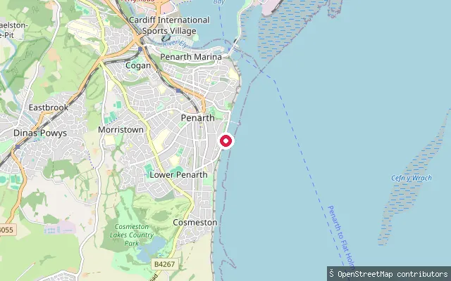
SeaPenarth Marina put-in
Vale of Glamorgan, WalesThis put-in is at Penarth Marina, developed in 1987 from the town's former No.1 Dock and outer basin into a 350-berth marina on the Severn Estuary side of Penarth Head.
 Sea
SeaPenarth Esplanade put-in
Vale of Glamorgan, WalesA further slipway a few metres from the one above, on the same stretch of the Esplanade at Lower Penarth, opening onto the Severn Estuary.
 Sea
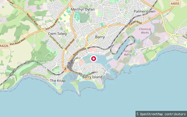
SeaOld Harbour put-in (Barry Waterfront)
Vale of Glamorgan, WalesThis slipway lies on the Barry Waterfront, on the shore of Barry's Old Harbour, the tidal basin that served the port before the enclosed docks opened in 1889. Associated British Ports, which still operates the Port of Barry, keeps the Old Harbour available as an alternative vessel entrance, with yacht moorings on its western side.
 Sea
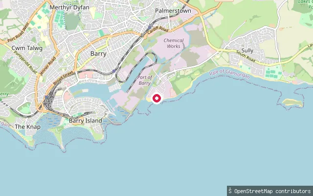
SeaThe Bendricks put-in (Cadoxton)
Vale of Glamorgan, WalesThis launch point sits on the rocky Bristol Channel foreshore at Cadoxton, near the outflow of the Cadoxton River and close to The Bendricks, a fossil-bearing rock platform, with Bendrick Rock a short distance to the west.
 Sea
SeaCold Knap put-in (Barry)
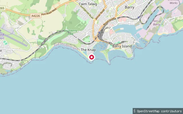
Vale of Glamorgan, WalesThis slipway is at Cold Knap, a pebble beach on the Bristol Channel about a mile west of Barry Island, with sand exposed at low tide. The remains of a Roman building sit just behind the beach as a scheduled monument, and Cold Knap Park is Grade II listed on the Cadw historic parks register.
 Sea
SeaJackson's Bay put-in (Barry Island)
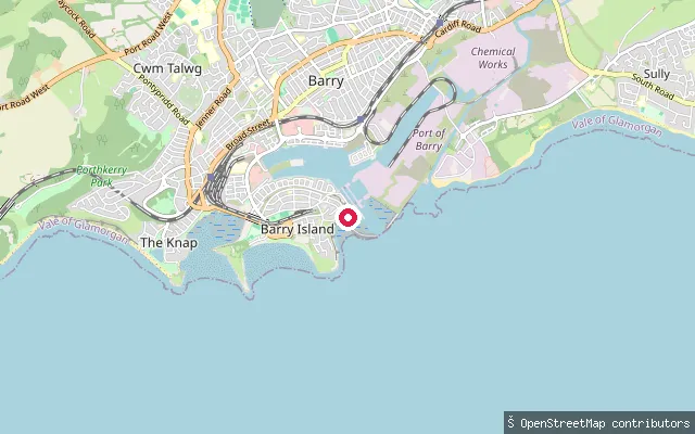
Vale of Glamorgan, WalesA second slipway on Dock Road, about 40 metres from the first, opens onto the same stretch of Jackson's Bay next to Barry Yacht Club's moorings.
 Sea
SeaJackson's Bay put-in (Barry Island)
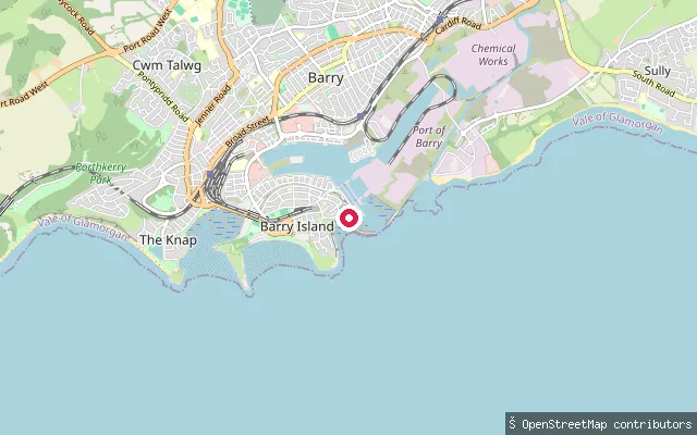
Vale of Glamorgan, WalesThis concrete slipway sits on Dock Road, Barry Island, at the edge of Jackson's Bay, a natural inlet inside the breakwaters of Barry's old harbour. Barry Yacht Club, immediately alongside, has launched boats here since 1928.
Save your own spots
Keep the places you launch, check the wind and shelter before you go, and log every paddle. Add a spot to the directory too, and other paddlers will find it. Free to start.
Some launch spots in this directory are seeded from open data. © OpenStreetMap contributors · Open Database Licence (ODbL)