Paddleboarding spots in Cambridgeshire
39 launch spots across Cambridgeshire
Every mapped spot in Cambridgeshire
Zoom in to split a cluster; open a pin for the spotMap of every spot in Cambridgeshire
The interactive map opens on any device with JavaScript. The full list of launch spots is below.
Launch spots
Showing 15 of 39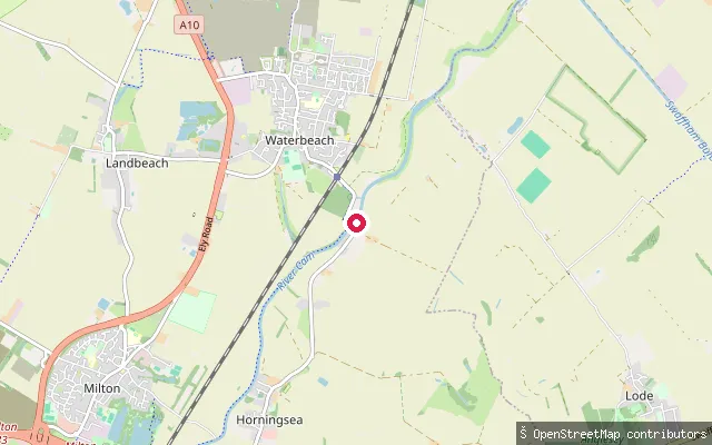 River
RiverClayhithe slipway
Cambridgeshire, EnglandThis slipway launches onto the River Cam at Clayhithe, the small hamlet between Horningsea and Waterbeach where the Conservators of the River Cam are based. The Conservators require craft, including canoes and paddleboards, to register for the stretch of river between Mill Pond in Cambridge and Bottisham Lock.
 River
RiverHolywell-cum-Needingworth put-in (Huntingdonshire)
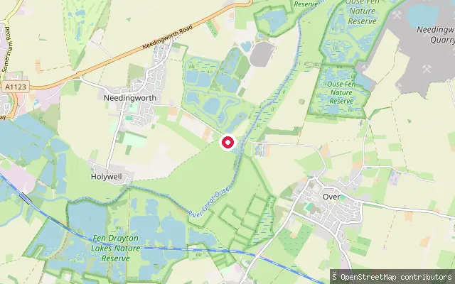
Cambridgeshire, EnglandThis slipway sits on the River Great Ouse on Overcote Lane near Needingworth, within the civil parish of Holywell-cum-Needingworth, close to the Pike & Eel Marina. The Environment Agency treats this reach as part of the Anglian Waterways, where unpowered craft such as canoes and paddleboards need registration.
 River
RiverHolywell put-in
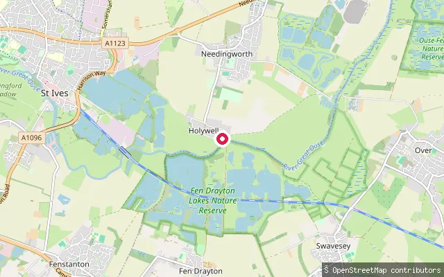
Cambridgeshire, EnglandThis slipway is on Holywell Front, the riverside road in the village of Holywell that floods when the Great Ouse rises across the adjoining meadows, close to the historic Old Ferry Boat Inn crossing point. OSM records it as a free, mud-surfaced slipway open to unpowered access with no vehicle access.
 Lake
LakeGrafham Water slipway (Hill Farm)
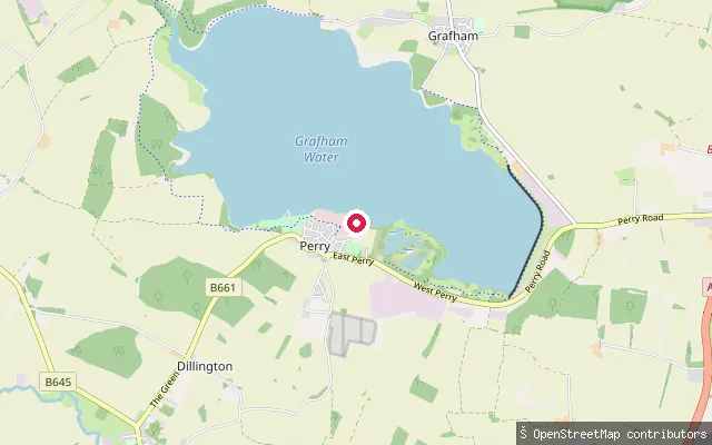
Cambridgeshire, EnglandGrafham Water is a 6.28 km2 drinking-water reservoir near Huntingdon in Cambridgeshire, built in 1965 and still operated by Anglian Water. This slipway sits on the reservoir's south-western shore near Perry, within the stretch of shoreline used by Grafham Water Sailing Club and Grafham Water Centre.
 River
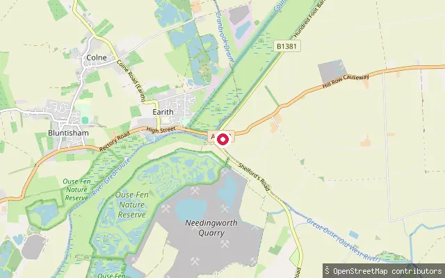
RiverHaddenham put-in (East Cambridgeshire)
Cambridgeshire, EnglandThis slipway is on Hill Row Causeway near Haddenham, on the Old West River, the old course of the Great Ouse that runs from Earith past Aldreth towards its confluence with the Cam.
 River
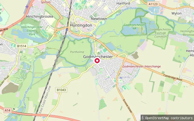
RiverGodmanchester slipway
Cambridgeshire, EnglandThis slipway on the River Great Ouse at Godmanchester is reached by a rough track that ramps down to the water; OSM records it as a grade-3 track with poor surface, closed to motor vehicles. Portholme, a large riverside meadow, lies between the town and neighbouring Huntingdon, and the Environment Agency requires a navigation licence for craft on this reach.
 River
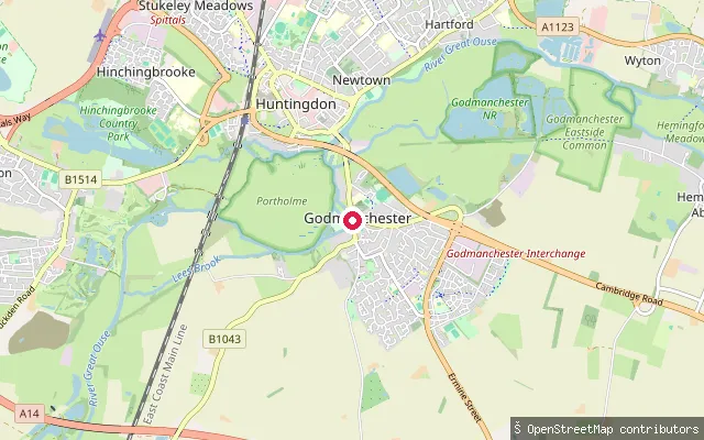
RiverGodmanchester Lock canoe put-in
Cambridgeshire, EnglandThis point on the River Great Ouse at Godmanchester is mapped specifically as a canoe put-in near the town's lock. An OSM editor's note for the point references a portage route around the lock, though its current usability is not confirmed from available sources.
 River
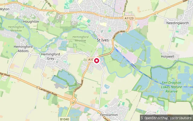
RiverFenstanton put-in (Huntingdonshire)
Cambridgeshire, EnglandThis slipway is on Low Road in Fenstanton, a village on the south side of the River Great Ouse in Huntingdonshire.
 River
RiverFen Drayton put-in
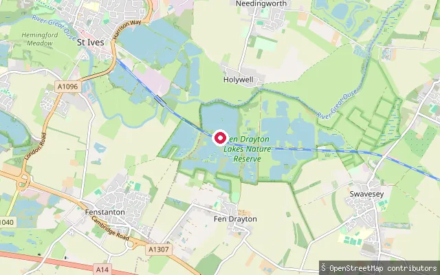
Cambridgeshire, EnglandThis slipway is on the River Great Ouse near the village of Fen Drayton, close to the Guided Busway path and the RSPB's Fen Drayton Lakes reserve, which occupies former gravel pits alongside the river.
 River
RiverWaterside slipway, Ely
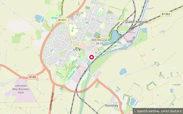
Cambridgeshire, EnglandThis slipway launches onto the River Great Ouse at Waterside in Ely, a stretch of riverfront with a marina that has been a popular boating spot since the Fens were drained and Ely ceased to be an island. The OSM listing for the slipway itself carries a notice that users must be registered with the rivers authority, and records no launch fee.
 River
RiverEarith put-in (Huntingdonshire)
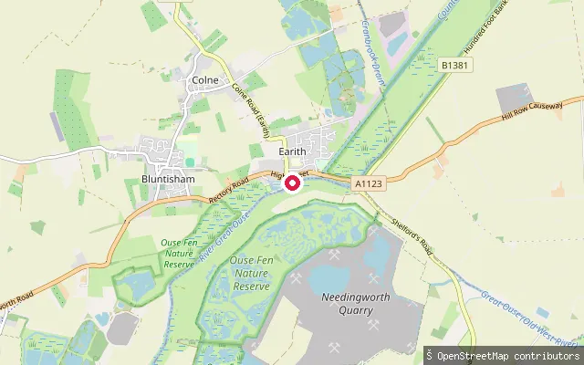
Cambridgeshire, EnglandThis slipway is on the River Great Ouse at Earith, the village where the artificial Old Bedford River and New Bedford River branch off the main river towards Denver Sluice.
 River
RiverChesterton put-in (Cambridge)
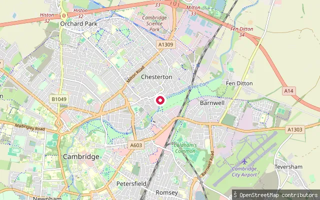
Cambridgeshire, EnglandThis slipway launches onto the River Cam by Green Dragon Bridge in Chesterton, a riverside suburb on the north-east edge of central Cambridge.
 River
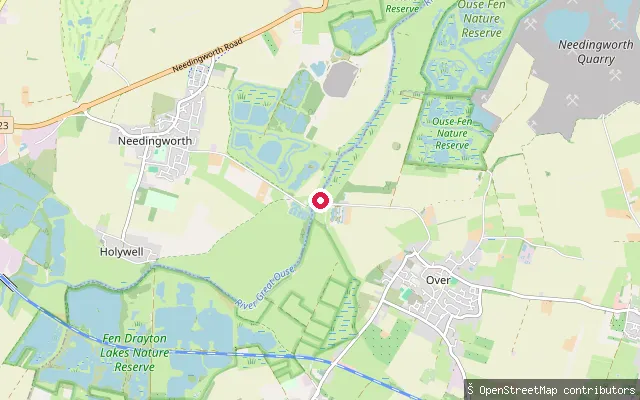
RiverChain Road
Cambridgeshire, EnglandChain Road is a grass-paver service track running down to a slipway on the River Great Ouse at Overcote, a riverside hamlet in the parish of Over, South Cambridgeshire. The Environment Agency treats this reach as part of the Anglian Waterways, where unpowered craft such as canoes and paddleboards need registration.
 River
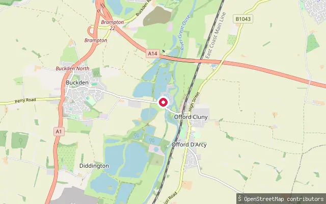
RiverBuckden slipway
Cambridgeshire, EnglandThis OSM way tags a service road leading down to a slipway on the River Great Ouse near Buckden, Cambridgeshire. The Environment Agency requires a navigation licence for craft on this reach of the river.
 River
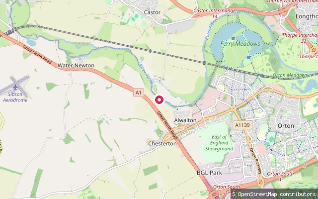
RiverAlwalton put-in
Cambridgeshire, EnglandThis slipway launches onto the River Nene at Alwalton, on the western edge of Nene Park close to Alwalton Lock. The Environment Agency is the navigation authority for this stretch, part of the Nene Navigation which runs 88 miles between Northampton and the Wash.
Save your own spots
Keep the places you launch, check the wind and shelter before you go, and log every paddle. Add a spot to the directory too, and other paddlers will find it. Free to start.
Some launch spots in this directory are seeded from open data. © OpenStreetMap contributors · Open Database Licence (ODbL)