Paddleboarding spots in East Riding of Yorkshire
16 launch spots across East Riding of Yorkshire
Every mapped spot in East Riding of Yorkshire
Zoom in to split a cluster; open a pin for the spotMap of every spot in East Riding of Yorkshire
The interactive map opens on any device with JavaScript. The full list of launch spots is below.
Launch spots
Showing 16 of 16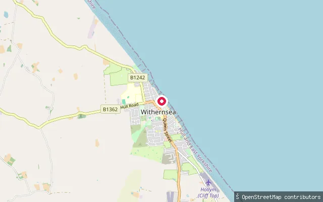 Sea
SeaWithernsea north promenade slipway
East Riding of Yorkshire, EnglandA slipway on Withernsea's north promenade, giving access to the North Sea beach that runs either side of the town's Pier Towers landmark.
 Sea
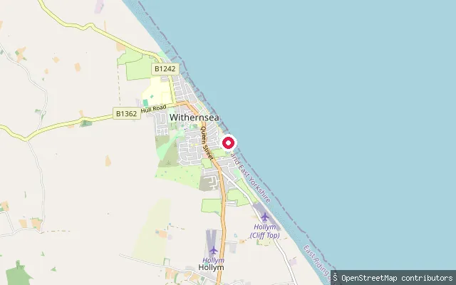
SeaWithernsea put-in
East Riding of Yorkshire, EnglandA slipway at Withernsea, a Holderness coast resort town, giving access to the North Sea near the town's promenade.
 Sea
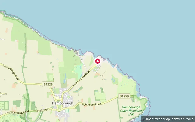
SeaOld Lifeboat Slipway
East Riding of Yorkshire, EnglandThe former RNLI lifeboat slipway at North Landing, Flamborough, built in 1890 and enlarged in 1934 with a turntable to help haul the boat back up. Flamborough's lifeboat launched from here until 1993, when the station consolidated at South Landing; the concrete slipway remains in place at this North Sea cove within the Flamborough Head Site of Special Scientific Interest.
 Lake
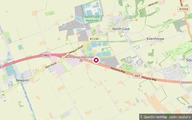
LakeEight Acre Lake, North Cave
East Riding of Yorkshire, EnglandA private flooded-quarry lake off Mires Lane at North Cave, run as a dive and open-water swimming centre with a maximum depth of about 14 metres, sunken attractions including wrecks and a helicopter, and a shop, cafe and changing facilities on site.
 Sea
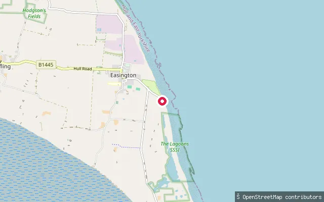
SeaLong Beach Club put-in (Easington)
East Riding of Yorkshire, EnglandA slipway on Seaside Road at South End, Easington, fronting the North Sea beach shared with the Easington Beach holiday park, whose clubhouse gives the put-in its name.
 Sea
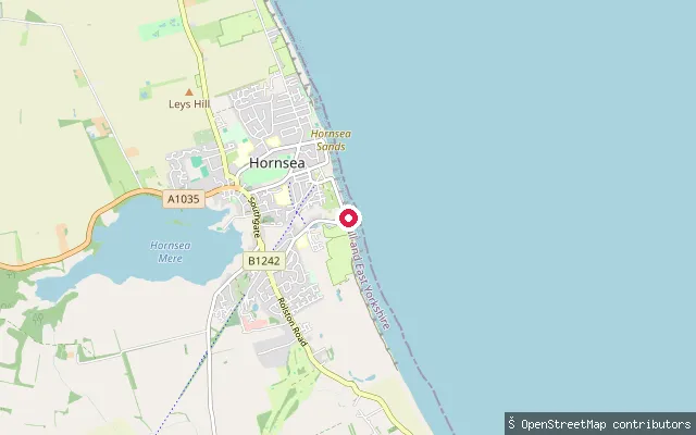
SeaHornsea seafront slipway
East Riding of Yorkshire, EnglandA seafront slipway at Hornsea giving small-craft access to the North Sea, distinct from the town's inland Hornsea Mere. OpenStreetMap tags it with maritime seamark data as a small-craft facility.
 Lake
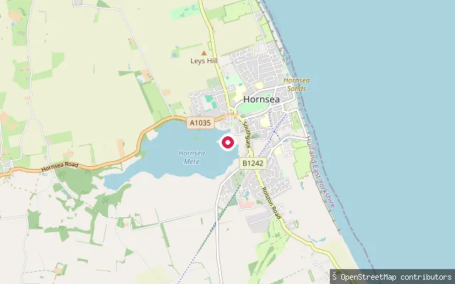
LakeHornsea Mere slipway (Queens Gardens)
East Riding of Yorkshire, EnglandA slipway at Queens Gardens on the eastern shore of Hornsea Mere, Yorkshire's largest natural lake, an SSSI and SPA with roughly 250 acres of navigable water managed alongside a sailing club and boat-hire operator at the town end of the mere.
 Sea
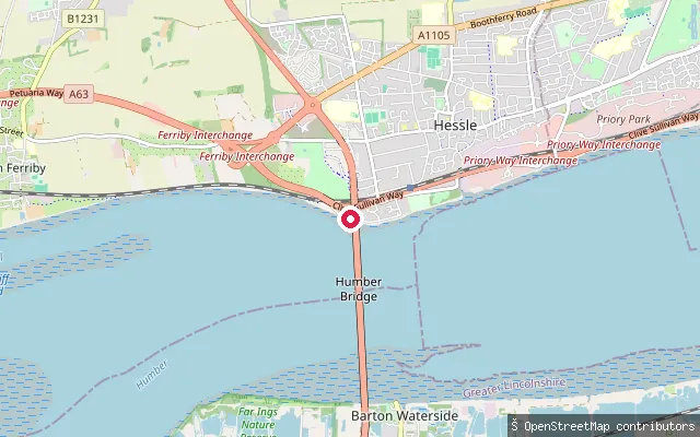
SeaHessle put-in
East Riding of Yorkshire, EnglandA slipway at Hessle on the north bank of the Humber Estuary, close to the Humber Bridge, in the tidal water that Associated British Ports manages as statutory harbour authority under the Humber Navigation Byelaws.
 Sea
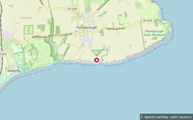
SeaSouth Landing slipway, Flamborough
East Riding of Yorkshire, EnglandThe slipway at South Landing, Flamborough, home to Flamborough's RNLI lifeboat station since it was rebuilt on this site in 1992 to 1993. The cove sits within the Flamborough Head Site of Special Scientific Interest and Special Area of Conservation, on the chalk headland between Filey and Bridlington bays.
 Sea
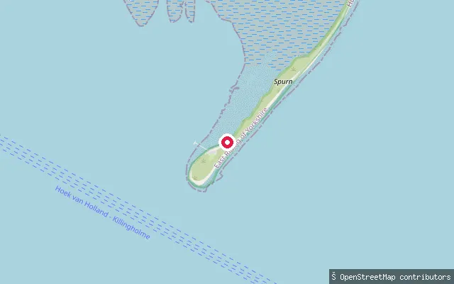
SeaKilnsea put-in (disused)
East Riding of Yorkshire, EnglandA disused slipway on the Holderness coast at the neck of the Spurn peninsula, near Kilnsea. OpenStreetMap marks the access road as customer-only and notes its position has shifted with coastal erosion, and the slipway itself is tagged disused.
 Sea
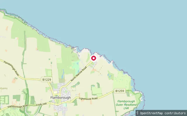
SeaCoble Slipway
East Riding of Yorkshire, EnglandA concrete slipway at North Landing, Flamborough, known locally as Coble Slipway. North Landing is one of two boat-launching coves at Flamborough Head, separated from the surrounding cliffs by the prehistoric earthwork Danes Dyke, within the Flamborough Head Site of Special Scientific Interest.
 Sea
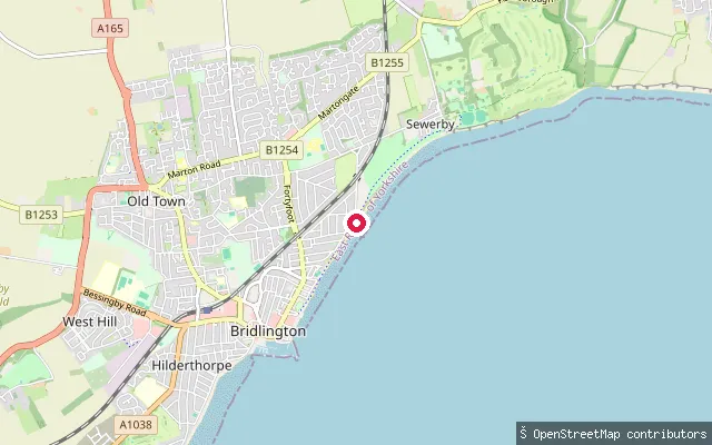
SeaNorth Beach slipway (north), Bridlington
East Riding of Yorkshire, EnglandA further slipway on Bridlington's North Beach, around 300 metres north-east of the North Marine Promenade slipway. It opens onto Bridlington Bay on the North Sea coast.
 Sea
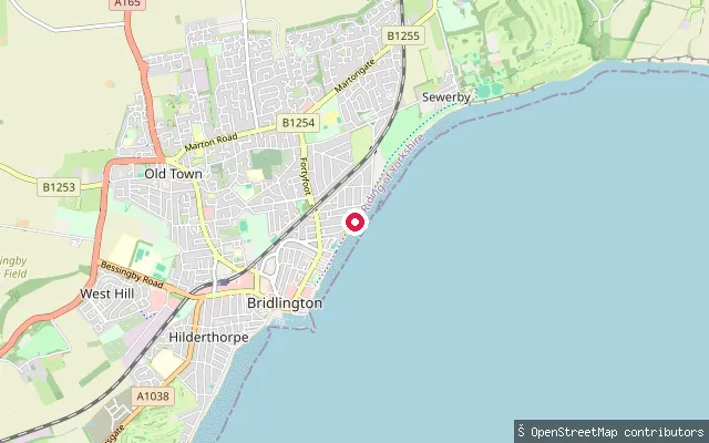
SeaNorth Beach slipway, Bridlington
East Riding of Yorkshire, EnglandA slipway off North Marine Promenade on Bridlington's North Beach, a short distance north of the harbour. It gives access to Bridlington Bay, a North Sea bay whose shoreline here is defended by a sea wall and wooden groynes.
 Sea
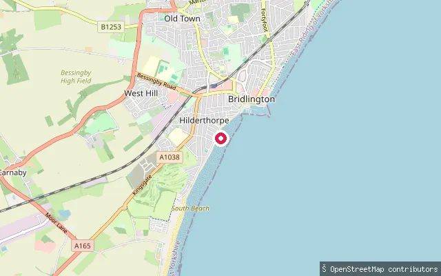
SeaSouth Sands slipway, Bridlington
East Riding of Yorkshire, EnglandA concrete slipway on South Sands, roughly 700 metres south of Bridlington Harbour, mapped as a small-craft facility. It launches onto Bridlington Bay, part of a North Sea coastline noted for having one of the highest erosion rates in Europe.
 Sea
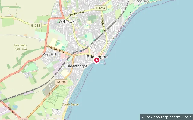
SeaBridlington Harbour south slipway
East Riding of Yorkshire, EnglandA concrete slipway on the seafront a short walk south of Bridlington Harbour, at the northern end of South Sands. It opens onto Bridlington Bay on the North Sea coast, where the shoreline here is protected by a sea wall and wooden groynes.
 River
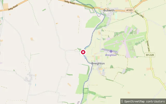
RiverBreighton Ferry Slipway
East Riding of Yorkshire, EnglandA slipway on the east bank of the River Derwent at Breighton, in Bubwith parish, beside the site of a historic ferry crossing to Menthorpe that ran until the 1930s and is now marked by the Breighton Ferry pub and mooring points.
Save your own spots
Keep the places you launch, check the wind and shelter before you go, and log every paddle. Add a spot to the directory too, and other paddlers will find it. Free to start.
Some launch spots in this directory are seeded from open data. © OpenStreetMap contributors · Open Database Licence (ODbL)