Paddleboarding spots in Northumberland
33 launch spots across Northumberland
Every mapped spot in Northumberland
Zoom in to split a cluster; open a pin for the spotMap of every spot in Northumberland
The interactive map opens on any device with JavaScript. The full list of launch spots is below.
Launch spots
Showing 24 of 33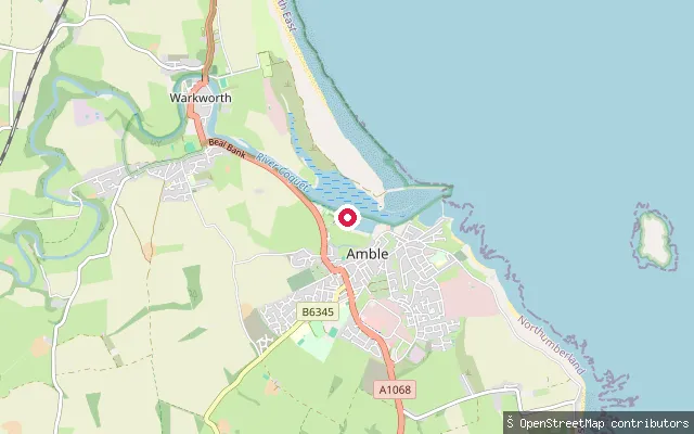 River
RiverWarkworth put-in
Northumberland, EnglandA slipway on the south bank of the tidal River Coquet between Amble and Warkworth, close to the Coquet Yacht Club's own launch point. The Coquet Canoe Club paddles this reach regularly, describing sheltered, easy water at high tide up towards Warkworth.
 River
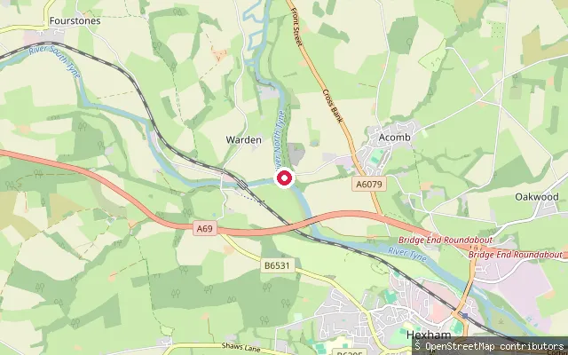
RiverTyne confluence
Northumberland, EnglandThe confluence known locally as Water's Meet, where the North Tyne and South Tyne join about a mile west of Hexham to form the main River Tyne. It is a recognised whitewater put-in, roughly 30 miles from the river mouth, reachable on foot from the Boatside Inn at Bridge End or along the path from Hexham Tyne Green.
 Sea
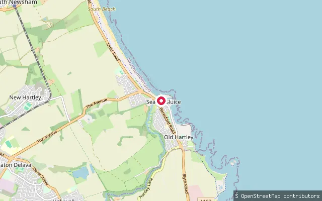
SeaSeaton Sluice Harbour slipway
Northumberland, EnglandA slipway into Seaton Sluice Harbour, a small tidal inlet on the North Sea and the most southerly harbour on the Northumberland coast, used mainly by small fishing boats.
 Sea
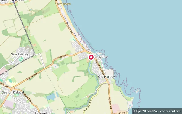
SeaSeaton Sluice Harbour slipway
Northumberland, EnglandA slipway into Seaton Sluice Harbour, a small tidal inlet on the North Sea and the most southerly harbour on the Northumberland coast, used mainly by small fishing boats. Boats may be launched from the harbour with a permit, and the surrounding bay is used for sea kayaking and surfing.
 Sea
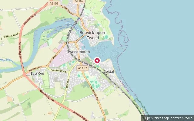
SeaBerwick-upon-Tweed RNLI lifeboat slipway
Northumberland, EnglandThis private slipway serves Berwick-upon-Tweed RNLI Lifeboat Station on the tidal River Tweed, close to where the river meets the North Sea. It is restricted to the lifeboat service; a public slipway lies about fifty metres upstream.
 Sea
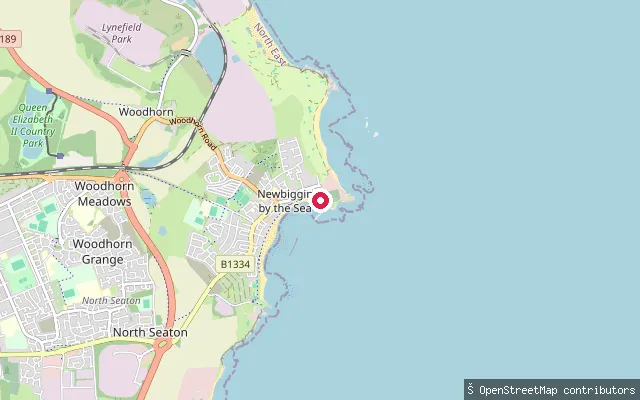
SeaPublic beach ramp
Northumberland, EnglandA public launch ramp onto the sandy beach at Newbiggin Bay, Newbiggin-by-the-Sea, about 200 metres from the RNLI lifeboat slipway.
 Lake
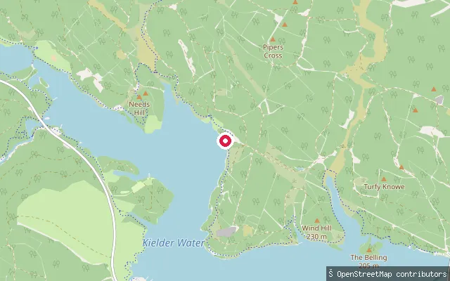
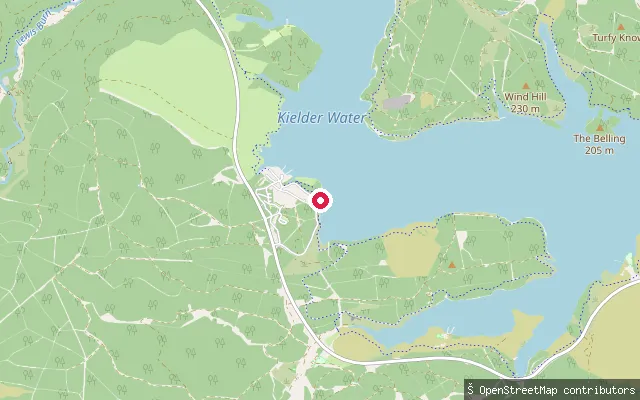
LakePlashetts Incline
Northumberland, EnglandPlashetts Incline is a slipway on the north shore of Kielder Water, roughly 3km from Falstone, named after the mining village and its mineral railway incline that now lie beneath the reservoir. Northumbrian Water designates the adjoining bay as the Plashetts Ski Area, where non-skiing craft may enter only when water-skiing is not taking place.
 Sea
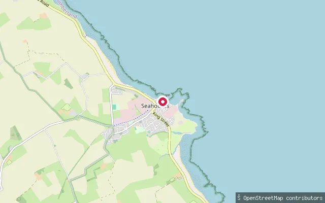
SeaNorth Sunderland put-in
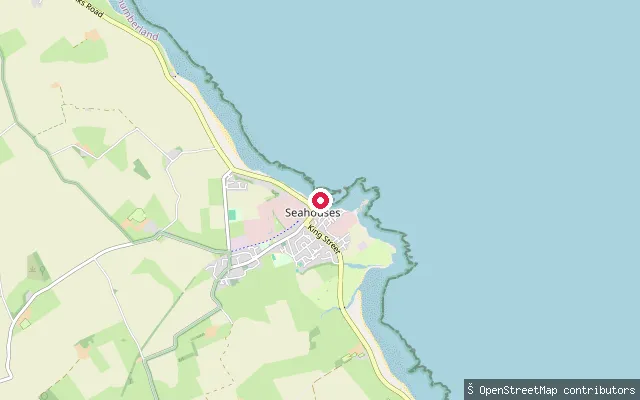
Northumberland, EnglandNorth Sunderland Harbour, now generally known as Seahouses Harbour, sits on the open Northumberland coast opposite the Farne Islands. Leisure craft use the outer harbour and the pier-end steps, but the harbour master's approval is required to use the launching facility.
 Sea
SeaNorth Sunderland put-in
Northumberland, EnglandA second slipway on North Sunderland Harbour, the working harbour better known today as Seahouses Harbour, close to the coast facing the Farne Islands. Leisure craft launching here fall under the harbour's own byelaws and registration scheme rather than open access.
 Sea
SeaLifeboat Ramp
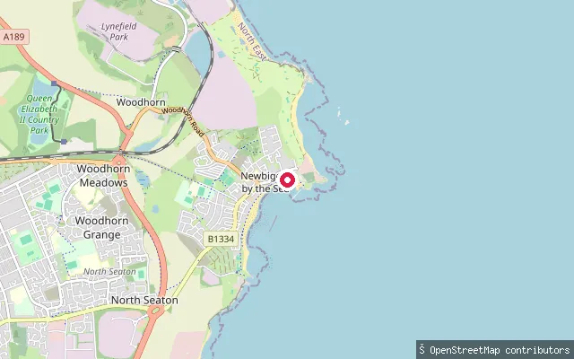
Northumberland, EnglandThe RNLI lifeboat slipway at Newbiggin-by-the-Sea, launching onto Newbiggin Bay on the North Sea. The station, established in 1851, holds the oldest continuously used boathouse in the RNLI fleet, and visitors are asked to keep the slipway clear for launches.
 Lake
LakeFontburn Reservoir slipway
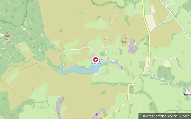
Northumberland, EnglandFontburn Reservoir is a Northumbrian Water drinking-water reservoir on the River Font, near Rothbury in Northumberland, run day-to-day as a Waterside Parks trout fishery. A slipway sits on its south shore close to the Hollinghill enclosure earthworks, and the operator states that unauthorised swimming and water sports are not permitted.
 Lake
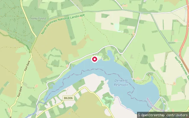
LakeHealey put-in
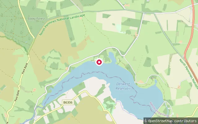
Northumberland, EnglandA concrete slipway on the Northumberland shore of Derwent Reservoir, within the grounds used by Derwent Reservoir Sailing Club and close to two other mapped slipways nearby. The club offers kayak and paddleboard hire and day passes alongside its sailing and windsurfing activities.
 Lake
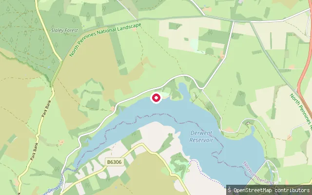
LakeHealey put-in
Northumberland, EnglandA concrete slipway on the Northumberland shore of Derwent Reservoir, roughly 30 metres from another mapped slipway (way/252486076) within the grounds used by Derwent Reservoir Sailing Club. The club offers kayak and paddleboard hire and day passes alongside its sailing and windsurfing activities.
 Lake
LakeHealey put-in
Northumberland, EnglandA concrete slipway on the Northumberland shore of Derwent Reservoir, in the Healey parish grounds used by Derwent Reservoir Sailing Club. The club offers kayak and paddleboard hire and day passes to visitors, alongside its sailing and windsurfing activities.
 River
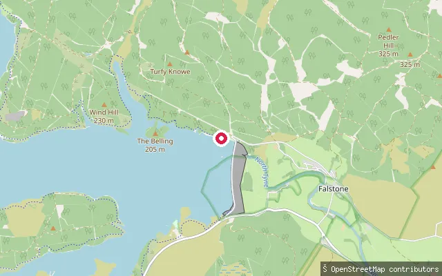
RiverFalstone put-in
Northumberland, EnglandThis slipway lies on the River North Tyne within Falstone village itself, on the loop of river the village sits on below Kielder Dam.
 River
RiverNorth Haul Road slipway
Northumberland, EnglandThis slipway sits beside North Haul Road, a forestry road through Kielder Forest roughly 4.5km east of Falstone village, in an area where the River North Tyne, its weirs and the Hawkhope Burn tributary run through the forest. It falls within Falstone civil parish but is well outside the village itself.
 River
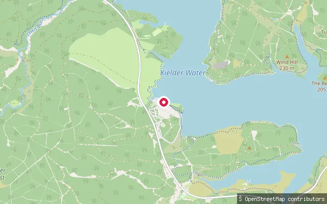
RiverFalstone put-in
Northumberland, EnglandThis slipway sits on the River North Tyne on the edge of Falstone village, close to a car park recorded in the same OSM survey. Falstone is the village that sits below Kielder Dam on a loop of the North Tyne.
 River
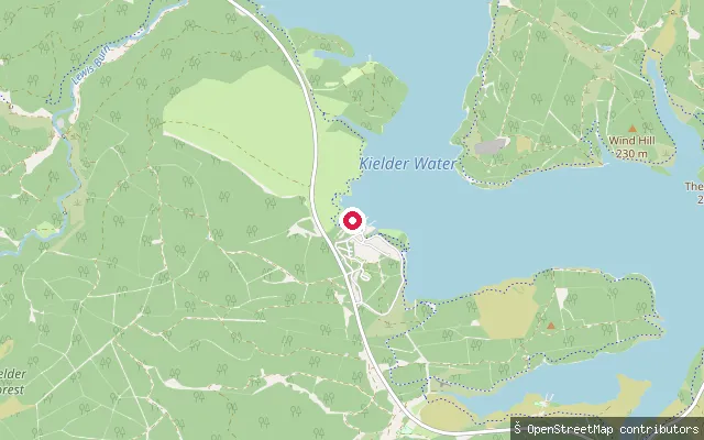
RiverFalstone put-in
Northumberland, EnglandThis slipway lies on the River North Tyne just north of Falstone village, on the loop of river the village sits below Kielder Dam on. Falstone's riverside trail and visitor parking are nearby.
 Lake
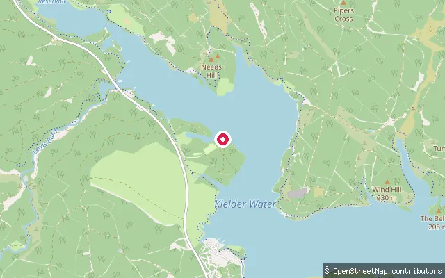
LakeHawkhope Slipway
Northumberland, EnglandThis slipway sits on the eastern shore of Kielder Water, close to Kielder Dam and about 2km from Falstone village. It was mapped alongside the former Scout Adventures Hawkhirst activity centre, which used the reservoir for canoeing and other water-based courses before the Scout Association closed the site on 31 March 2025. Northumbrian Water, which operates the reservoir, restricts general craft launching to the East Slipway at Kielder Waterside unless it grants written permission for an alternative site.
 Sea
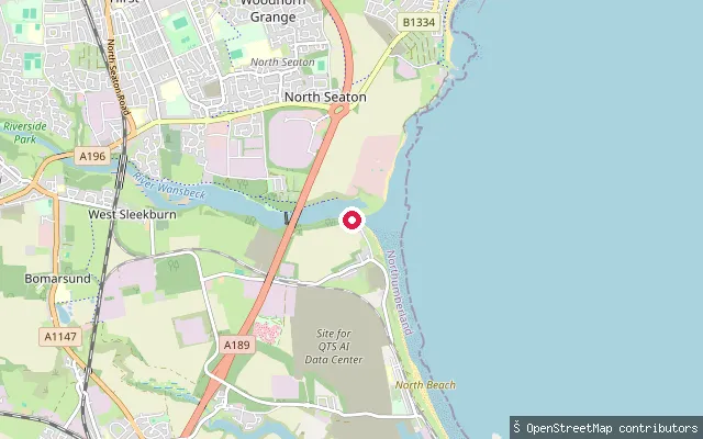
SeaCambois Beach slipway
Northumberland, EnglandA beach slipway on the North Sea coast at Cambois, between the mouths of the River Blyth and the River Wansbeck. The original slipway here was rebuilt with a new car park and beach access paths after subsea cable works disrupted the site.
 Sea
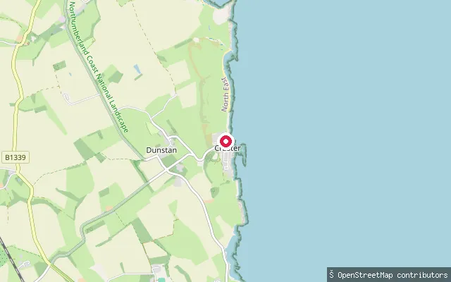
SeaDunstan Square put-in
Northumberland, EnglandA slipway on the open Northumberland coast between Craster and Dunstanburgh Castle, close to the coast path that runs from Craster harbour up to the castle. Dunstan Square itself is a farm and footpath junction a short distance inland; no specific named bay or cove is confirmed at this exact point.
 Lake
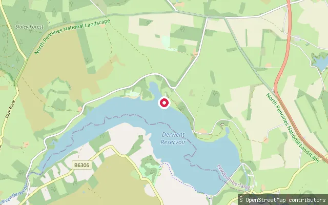
LakeCronkley put-in (Healey)
Northumberland, EnglandA slipway on the Northumberland shore of Derwent Reservoir near Cronkley farm, roughly a kilometre east of the main Healey slipway cluster and within the wider reach used by Derwent Reservoir Sailing Club. General canoe access to the reservoir is not permitted outside the club's organised paddling.
 Sea
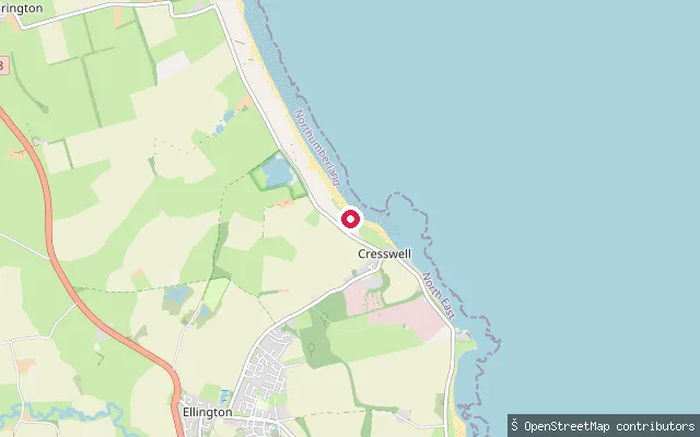
SeaCresswell put-in
Northumberland, EnglandA beach slipway at Cresswell, on the North Sea at the southern end of Druridge Bay, a seven-mile sweep of sand backed by dunes running north to Amble.
 River
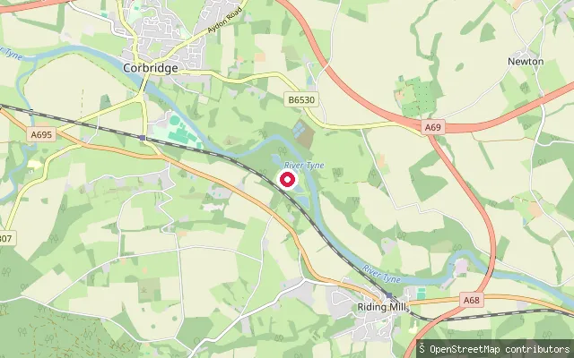
RiverCorbridge slipway
Northumberland, EnglandA concrete slipway on the River Tyne at Corbridge, on the paddling route between Hexham and Corbridge. It sits downstream of the Water's Meet confluence where the North Tyne and South Tyne join, and paddlers on the Hexham-to-Corbridge stretch typically take out here above the road bridge.
Save your own spots
Keep the places you launch, check the wind and shelter before you go, and log every paddle. Add a spot to the directory too, and other paddlers will find it. Free to start.
Some launch spots in this directory are seeded from open data. © OpenStreetMap contributors · Open Database Licence (ODbL)