Paddleboarding spots in Devon
131 launch spots across Devon
Every mapped spot in Devon
Zoom in to split a cluster; open a pin for the spotMap of every spot in Devon
The interactive map opens on any device with JavaScript. The full list of launch spots is below.
Launch spots
Showing 11 of 131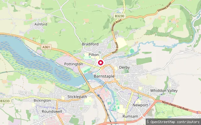 River
RiverPilton Quay slipway
Devon, EnglandThis slipway sits on Pilton Quay in Barnstaple, on the tidal lower reach of the River Yeo just above its confluence with the River Taw. OpenStreetMap surveyors record it as disused.
 River
RiverBampton Bridge slipway
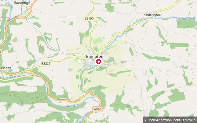
Devon, EnglandThis slipway is on the River Batherm at Bampton Bridge, in the small Mid Devon town of Bampton on the southern edge of Exmoor. The Batherm is a modest river that joins the River Exe about a mile downstream of the town. As with most English rivers, there is no general public right of navigation on this non-tidal stretch.
 Sea
SeaNo.5 Slip
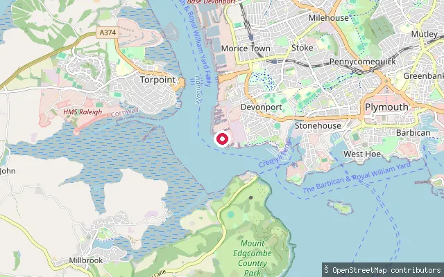
Devon, EnglandNo.5 Slip is a private concrete slipway inside HM Naval Base Devonport, on the Hamoaze shore at Devonport, Plymouth. It is tagged access=private and forms part of the working dockyard infrastructure rather than a public launch point.
 Lake
LakeUpper Tamar Lake slipway
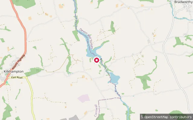
Devon, EnglandThis slipway launches onto Upper Tamar Lake at the Upper Tamar Water Sports Centre, a reservoir on the Cornwall-Devon border managed by South West Lakes Trust, roughly 3 miles from Kilkhampton. The lake is used for sailing, windsurfing and kayaking, and supplies drinking water to Bude and nearby villages.
 Sea
SeaTorpoint Ferry slipway, Devonport side
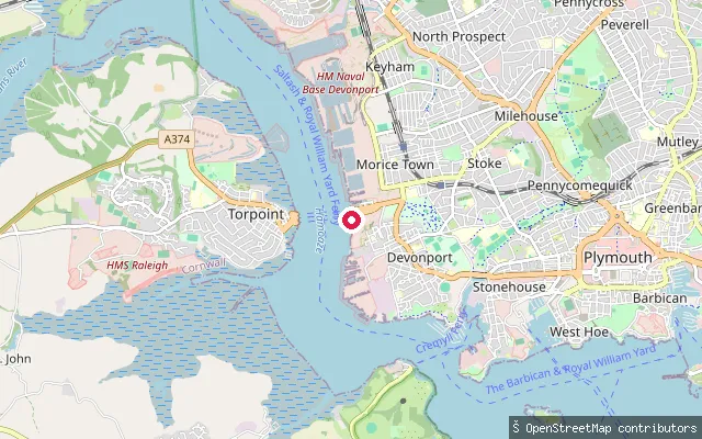
Devon, EnglandThis slipway sits beside the Devon-side (Morice Town) landing of the Torpoint chain ferry across the Hamoaze, not at Cremyll village which lies about 1.5 km further south on the Cornwall bank. The OSM element is tagged access=no, and the King's Harbour Master for Plymouth controls navigation on this stretch because of naval traffic to and from HMNB Devonport.
 Sea
SeaBarne Barton put-in (Plymouth)
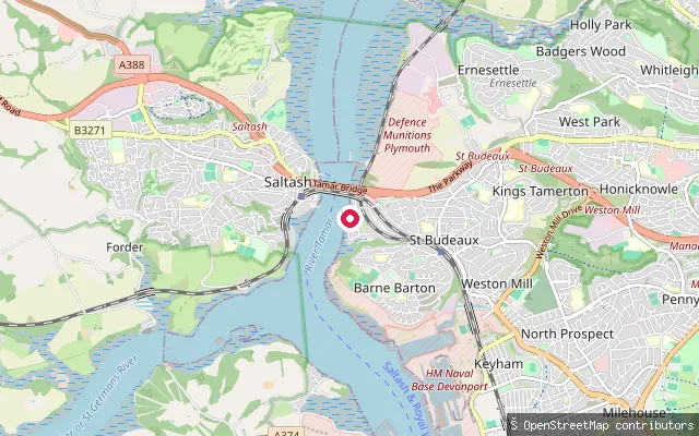
Devon, EnglandThis slipway runs down to the Hamoaze from Wolseley Road in Barne Barton, on Plymouth's western shore opposite Torpoint. OpenStreetMap maps it as a service-road slipway with a nearby emergency life ring and records no access restriction.
 Sea
SeaBarne Barton put-in (Plymouth)
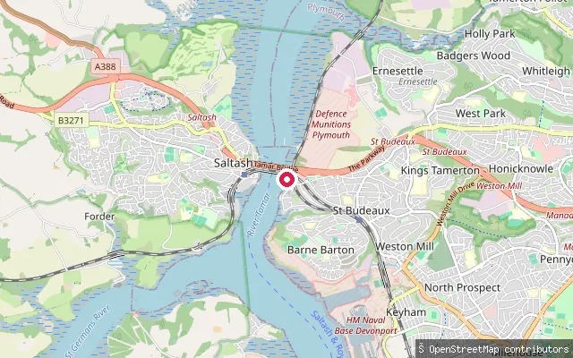
Devon, EnglandThis is a second slipway onto the Hamoaze off Wolseley Road in Barne Barton, around 190 metres north of the other Wolseley Road slipway in this stretch. OpenStreetMap tags it as a service-road slipway with no recorded access restriction.
 Sea
SeaMarrowbone Slip - Public slipway for small boats
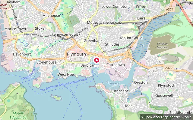
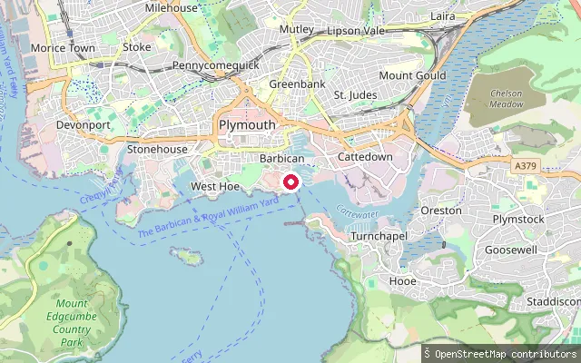
Devon, EnglandMarrowbone Slip is a public slipway on Sutton Harbour, Plymouth's former Sutton Pool, which has been impounded behind lock gates since 1993. OpenStreetMap records its surface as gravel in very poor condition, last checked in July 2021.
 Sea
SeaBarbican put-in (Plymouth)
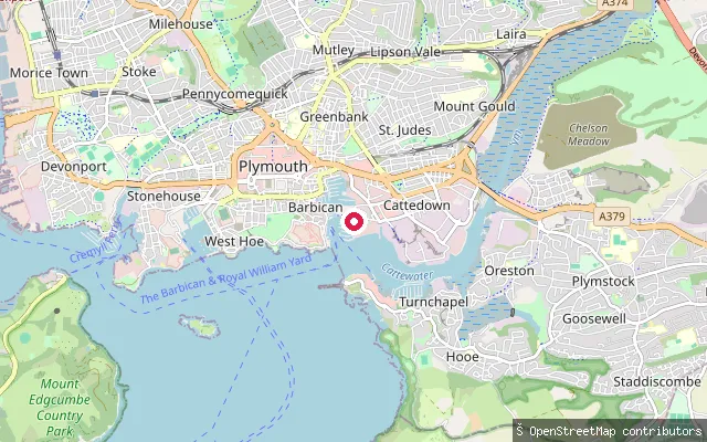
Devon, EnglandThis put-in is on Madeira Road at Phoenix Wharf, on the open shore of Plymouth Sound just outside Sutton Harbour's lock gates in Plymouth's Barbican district. SUP schools including South West SUP, based nearby at Royal William Yard, run guided sessions on the Sound.
 Sea
SeaQueen Anne's Battery slipway (Plymouth)
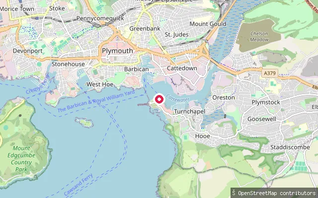
Devon, EnglandThis slipway is inside Queen Anne's Battery Marina on the Cattewater, the tidal water where the River Plym meets Plymouth Sound just east of the Barbican. Cattewater Harbour Commissioners set an 8-knot no-wash speed limit here and restrict paddleboards to launching and recovering at public locations. OpenStreetMap tags this particular slipway access=no, indicating it serves the marina rather than the public.
 Sea
SeaMount Batten put-in (Plymouth)
Devon, EnglandThis put-in is on the Mount Batten peninsula shoreline on the Cattewater, the tidal water where the River Plym meets Plymouth Sound. Cattewater Harbour Commissioners list a Mount Batten slip as an approved canoe launch point and cap speeds at 8 knots with a no-wash rule, and the nearby Mount Batten Watersports and Activities Centre runs paddleboarding and kayaking sessions.
Save your own spots
Keep the places you launch, check the wind and shelter before you go, and log every paddle. Add a spot to the directory too, and other paddlers will find it. Free to start.
Some launch spots in this directory are seeded from open data. © OpenStreetMap contributors · Open Database Licence (ODbL)