Paddleboarding spots in Hampshire
107 launch spots across Hampshire
Every mapped spot in Hampshire
Zoom in to split a cluster; open a pin for the spotMap of every spot in Hampshire
The interactive map opens on any device with JavaScript. The full list of launch spots is below.
Launch spots
Showing 24 of 107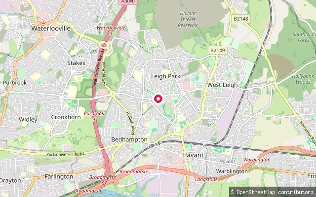 Lake
LakeLeigh Park put-in (Havant)
Hampshire, EnglandThis slipway sits on Leigh Water, a 3.5-acre ornamental lake inside Staunton Country Park in the Leigh Park area of Havant. Sir George Thomas Staunton had the lake built between 1828 and 1836 as part of his Regency estate, and it still holds several islands. Hampshire County Council manages the park and runs an angling permit scheme for the lake; no information was found on general paddling or boating access.
 River
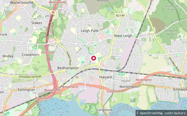
RiverHermitage Stream access, Leigh Park
Hampshire, EnglandThis point is beside Hermitage Stream off Stockheath Lane in Leigh Park, a residential suburb of Havant, roughly 500 metres upstream of another harvested point on the same stream in Bedhampton (way/124442672). The stream is mapped as only a few metres wide through this stretch.
 Sea
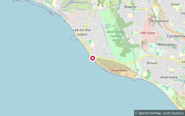
SeaLee-on-the-Solent put-in
Hampshire, EnglandThis slipway sits on the shingle shore near Browndown, a former Ministry of Defence firing range and biological SSSI between Lee-on-the-Solent and Gosport. The water here is the Solent.
 Sea
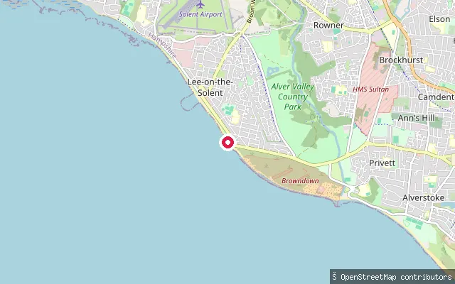
SeaLee-on-the-Solent put-in
Hampshire, EnglandThis slipway sits on the shingle shore between Lee-on-the-Solent and Browndown, a former Ministry of Defence firing range that is now a biological SSSI beach. The water here is the Solent, on the stretch of coast running on toward Gosport and Stokes Bay.
 Sea
SeaLee-on-the-Solent put-in
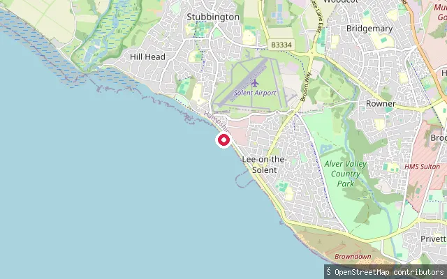
Hampshire, EnglandThis slipway sits on the Solent seafront at Lee-on-the-Solent, along Marine Parade where the promenade overlooks shipping in the Solent and the Isle of Wight beyond. The village lies between Hill Head and the former Browndown firing range toward Gosport.
 Sea
SeaLangstone put-in (Havant)
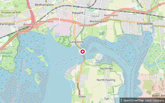
Hampshire, EnglandThis slipway is on Langstone Road in Langstone village, near Langstone Bridge, at the point where Langstone Harbour meets Chichester Harbour. OpenStreetMap tags it access=private. Langstone Harbour Board requires a permit and harbour dues for craft using the harbour, including paddlers.
 Sea
SeaLangstone put-in (Havant)
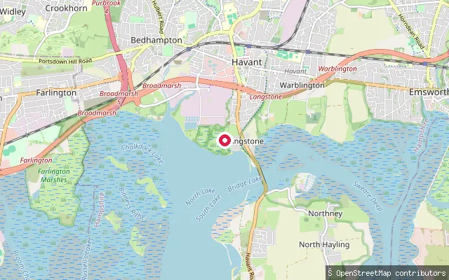
Hampshire, EnglandThis slipway is off Mill Lane in Langstone village, on the northern shore of Langstone Harbour near Havant. The harbour here is a biological Site of Special Scientific Interest of over 2,000 hectares with extensive tidal mudflats. Langstone Harbour Board requires a permit and harbour dues for all craft using the harbour, including paddlers.
 Sea
SeaLangstone put-in (Havant)
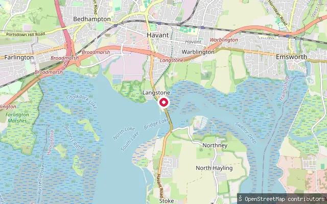
Hampshire, EnglandThis slipway is on Langstone Road in Langstone village, close to Langstone Bridge, the only road crossing to Hayling Island, at the point where Langstone Harbour meets Chichester Harbour. The older Wadeway causeway nearby has been impassable since a channel was cut through it for a canal in the 1820s. Langstone Harbour Board requires a permit and harbour dues for all craft using the harbour, including paddlers.
 Sea
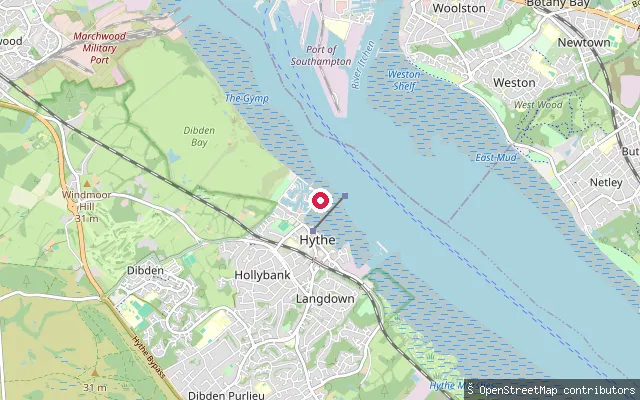
SeaHythe and Dibden put-in (New Forest)
Hampshire, EnglandThis slipway is on the Southampton Water shoreline near Hythe, close to Dibden Bay, in an area with an established marina and boating presence. Hythe has a working marina and a sailing club, and Dibden Bay immediately to the north holds Ramsar wetland status.
 Sea
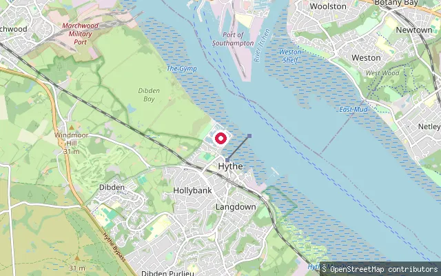
SeaHythe and Dibden put-in (New Forest)
Hampshire, EnglandThis slipway is on the Southampton Water shoreline near Hythe, close to Dibden Bay, in an area with an established marina and boating presence. Hythe has a working marina and a sailing club, and Dibden Bay immediately to the north holds Ramsar wetland status.
 Sea
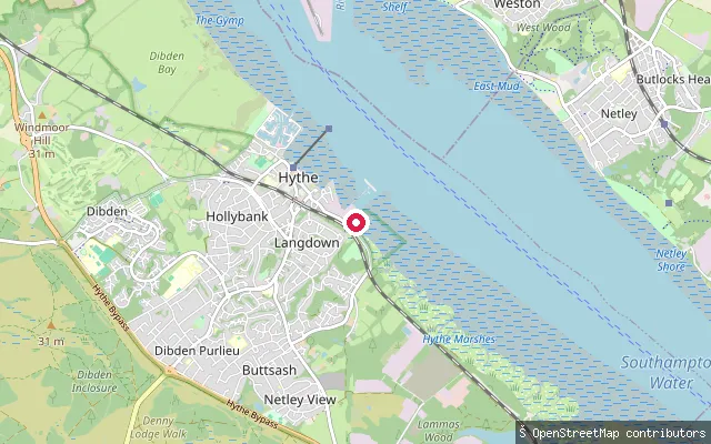
SeaHythe and Dibden put-in (New Forest)
Hampshire, EnglandThis slipway sits on the New Forest shore of Southampton Water, close to Hythe Spartina Marsh Nature Reserve on the tidal foreshore south of Hythe village. Southampton Water is a tidal inlet formed where the Test, Itchen and Hamble meet the sea, and its double high tide extends the period of slack water.
 Sea
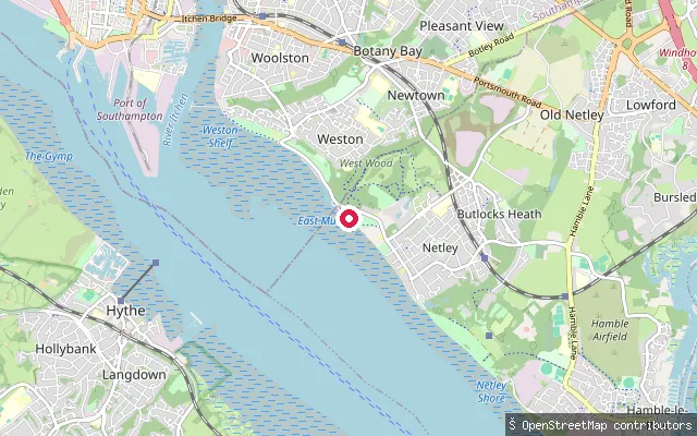
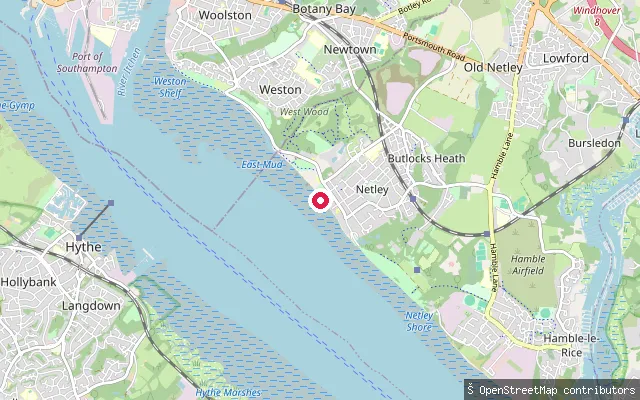
SeaWeston Sailing Club slipway (Netley)
Hampshire, EnglandA slipway on Southampton Water at Abbey Hill, Netley, belonging to Weston Sailing Club, which relocated to this site from Weston Shore in 1968.
 Sea
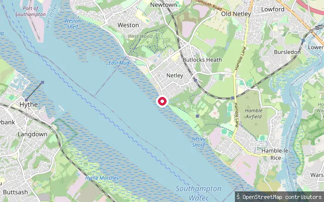
SeaHound put-in (Eastleigh)
Hampshire, EnglandA slipway on the Southampton Water foreshore at Netley, in the civil parish of Hound, off Beach Lane close to Royal Victoria Country Park.
 Sea
SeaHound put-in (Eastleigh)
Hampshire, EnglandA slipway on the Southampton Water shore at Netley, in the civil parish of Hound, off Victoria Road close to Royal Victoria Country Park's shingle beach frontage.
 Sea
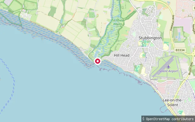
SeaHill Head put-in (Fareham)
Hampshire, EnglandThis slipway lies on the Solent shore at Hill Head, in the stretch an OpenStreetMap edit note labels Meon Shore next to the mouth of the River Meon. It sits within about 50 metres of another harvested Hill Head slipway record, so it may be the same physical launch point.
 Sea
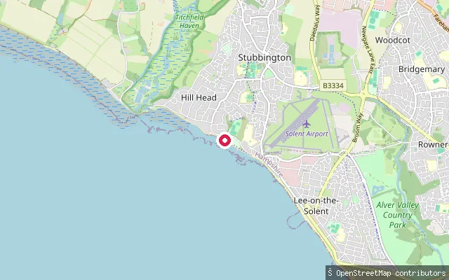
SeaHill Head put-in (Fareham)
Hampshire, EnglandThis slipway sits on Hill Head Beach, a shingle beach on the Solent in Fareham borough, roughly a kilometre east of the River Meon mouth and the Titchfield Haven nature reserve.
 Sea
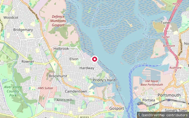
SeaHardway put-in (Gosport)
Hampshire, EnglandThis slipway and landing stage sit at Hardway on the western shore of Portsmouth Harbour, opposite the naval base and Old Portsmouth. It was a D-Day embarkation point, and a patch of historic concrete surface is still visible at low tide. Gosport Borough Council runs the adjoining pay-and-display car park under its own byelaw.
 River
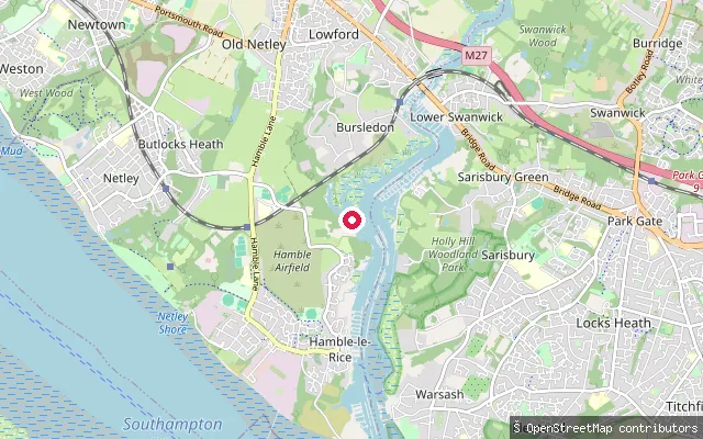
RiverSatchell Lane slipway (Hamble-le-Rice)
Hampshire, EnglandThis slipway sits on Satchell Lane on the tidal River Hamble, next to Mercury Yacht Harbour on the eastern edge of Hamble-le-Rice. The lower Hamble here is lined with marinas and carries steady leisure-boat traffic between the village and Southampton Water. Canoes, kayaks and paddleboards, as human-powered craft, are exempt from Hamble Harbour dues.
 River
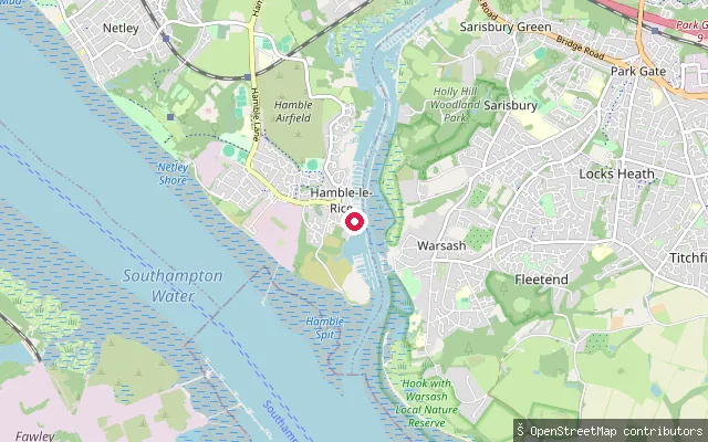
RiverHamble-le-Rice put-in (Eastleigh)
Hampshire, EnglandA concrete public slipway on the River Hamble at Hamble-le-Rice, off Huntsman Road. Hamble Parish Council operates the slipway, and OpenStreetMap records no launch fee and trailer access.
 River
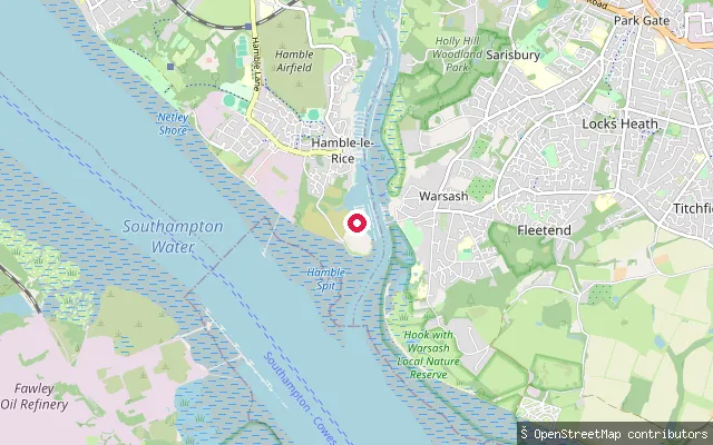
RiverHamble-le-Rice put-in (Eastleigh)
Hampshire, EnglandA slipway on the River Hamble at Hamble-le-Rice, off Huntsman Road close to the river mouth opposite Warsash.
 River
RiverHamble-le-Rice put-in (Eastleigh)
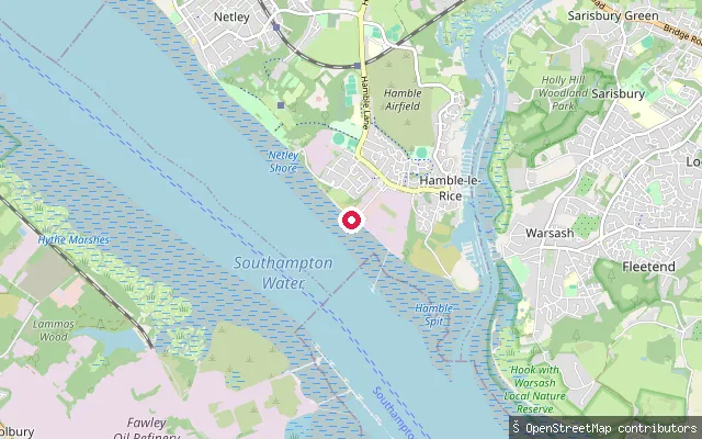
Hampshire, EnglandA slipway on the west bank of the River Hamble at Hamble-le-Rice, near the marinas off Ensign Way. The Hamble is tidal below Botley and carries steady sailing and boatyard traffic through this reach.
 Sea
SeaFleetlands put-in (Gosport)
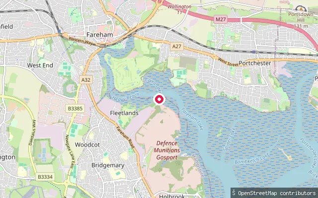
Hampshire, EnglandThis put-in is on Fareham Creek at Fleetlands, on the western edge of the creek beside the former Royal Naval helicopter yard now run by Standard Aero. The creek is sheltered but holds little water away from high tide, so access is best within about two hours either side of high water. It sits within the Portsmouth Harbour Special Protection Area, which protects the creek's mudflats for wildlife.
 Sea
SeaFleet slipway, Hayling Island (Mill Rythe)
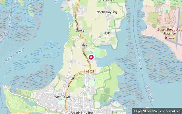
Hampshire, EnglandThis second slipway lies about 200 metres north-west of way/1365221333, on the same stretch of Hayling Island's west shore, launching onto Langstone Harbour near the creek known locally as Mill Rythe. The harbour here is wide, shallow and tidal, drying to extensive mudflats at low water.
 Sea
SeaFleet slipway, Hayling Island
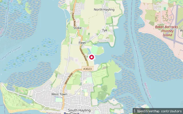
Hampshire, EnglandThis slipway sits on the west shore of Hayling Island at Fleet, launching onto Langstone Harbour, the large natural tidal harbour separating the island from Portsea Island. The harbour is administered by the Langstone Harbour Board and its creeks dry to wide mudflats over the tidal cycle. A second slipway (way/1365221336) lies about 200 metres to the north-west along the same shore.
Save your own spots
Keep the places you launch, check the wind and shelter before you go, and log every paddle. Add a spot to the directory too, and other paddlers will find it. Free to start.
Some launch spots in this directory are seeded from open data. © OpenStreetMap contributors · Open Database Licence (ODbL)