Paddleboarding spots in Hampshire
107 launch spots across Hampshire
Every mapped spot in Hampshire
Zoom in to split a cluster; open a pin for the spotMap of every spot in Hampshire
The interactive map opens on any device with JavaScript. The full list of launch spots is below.
Launch spots
Showing 11 of 107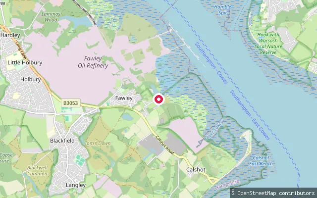 Sea
SeaAshlett Hard
Hampshire, EnglandAshlett Hard is a free public slipway at the head of Ashlett Creek, a tidal inlet of Southampton Water in the hamlet of Ashlett near Fawley. The creek dries out over soft mud at low water, so it is only usable for around the top half of the tidal cycle, and the old tide mill beside the slip served as a sailing club clubhouse until 2019.
 Sea
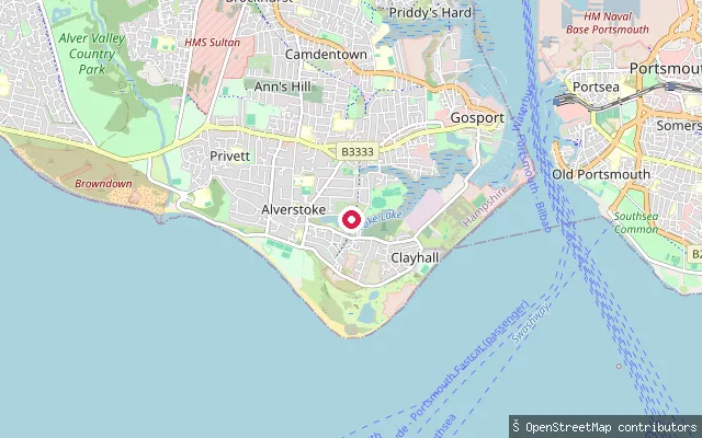
SeaAlverstoke put-in (Gosport)
Hampshire, EnglandThis concrete slipway sits at the eastern end of Stokes Bay, Gosport, near Fort Gilkicker and the Gosport and Stokes Bay Golf Club, where the bay meets the approaches to Portsmouth Harbour.
 Sea
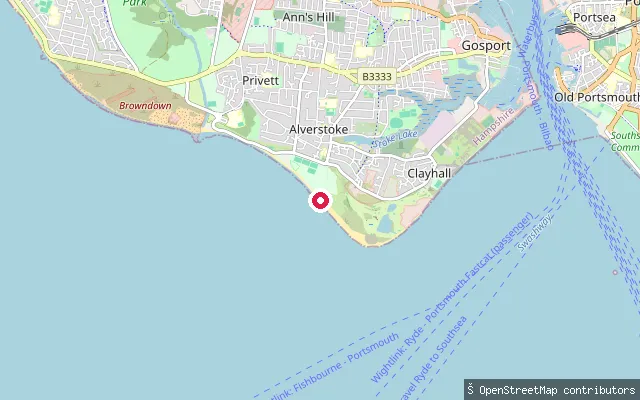
SeaAlverstoke put-in (Gosport)
Hampshire, EnglandThis slipway sits on Stokes Bay, a shingle beach and stretch of the Solent between Gosport and Lee-on-the-Solent, close to the Gosport and Fareham Inshore Rescue Service (GAFIRS) lifeboat station.
 Sea
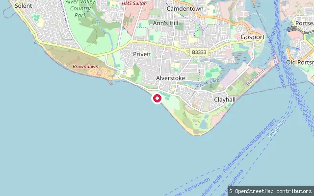
SeaAlverstoke put-in (Gosport)
Hampshire, EnglandThis slipway on the Stokes Bay shingle beach, in the Gosport suburb of Alverstoke, is tagged private on OpenStreetMap. Alverstoke sits about half a mile east of the Stokes Bay shoreline, stretching between Fort Blockhouse at Haslar and Browndown Battery.
 Sea
SeaEastney put-in (Portsmouth)
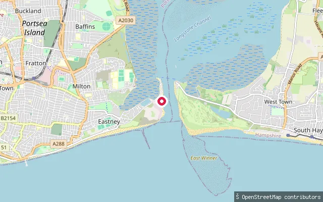
Hampshire, EnglandThis slipway falls within the mapped extent of Southsea Marina on Eastney Lake, a tidal inlet of Langstone Harbour on the Eastney peninsula, Portsmouth. It sits inside a working marina, so wider public access beyond the marina is unconfirmed. Langstone Harbour Board requires a permit and harbour dues for craft using the wider harbour, including paddlers.
 Sea
SeaEastney put-in (Portsmouth)
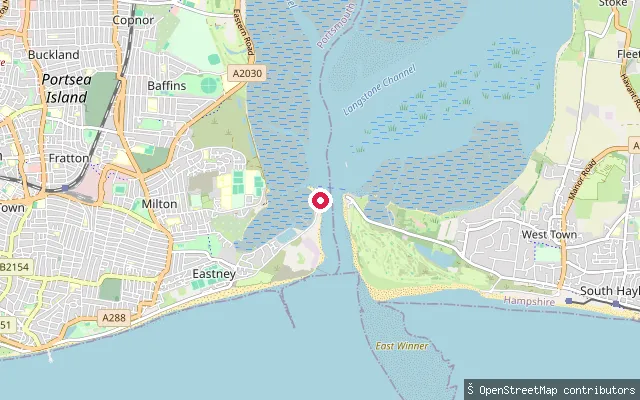
Hampshire, EnglandThis slipway is on Ferry Road in Eastney, Portsmouth, at the mouth of Langstone Harbour where the passenger ferry crosses to Ferry Point on Hayling Island. Eastney Lake, a tidal inlet of the harbour, opens nearby on the peninsula's northern side. Langstone Harbour Board requires a permit and harbour dues for all craft here, including paddlers, and advises mariners to keep to the marked channel off Eastney Spit.
 River
RiverSupermarine Slipway
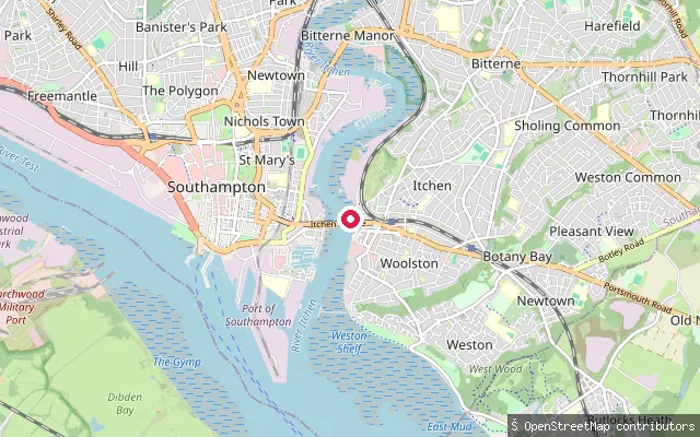
Hampshire, EnglandThe Supermarine Slipway at Woolston is a Grade II listed reinforced-concrete ramp built in 1936-37, designed by architect Oliver Bernard, to launch Supermarine's seaplanes and flying boats onto the River Itchen. The former factory itself was destroyed in the 1940 air raids that targeted the works, but the slipway survives with a memorial plaque to those killed.
 River
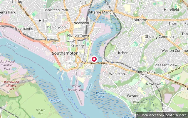
RiverCrosshouse put-in (Southampton)
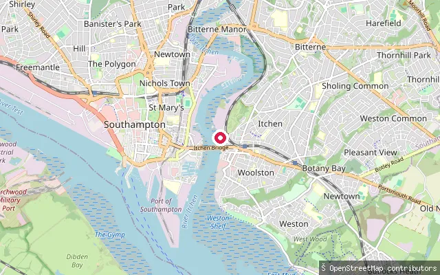
Hampshire, EnglandThis slipway is on the Woolston bank of the tidal River Itchen, a short distance from the Grade II listed Supermarine Slipway where Spitfires and flying boats were once launched. The Itchen here forms part of Southampton's working waterfront, with wharves and boatyards on both banks.
 River
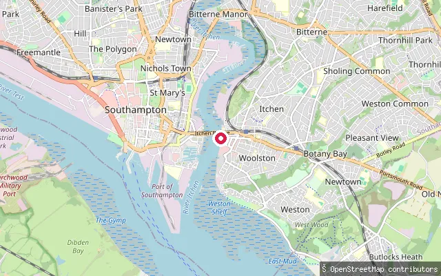
RiverCrosshouse put-in (Southampton)
Hampshire, EnglandThis slipway sits on the west bank of the tidal River Itchen at Northam, next to Crosshouse Road, on the stretch of river below St Mary's Stadium. Associated British Ports acts as navigation authority on this tidal reach as the Itchen approaches Southampton Water.
 River
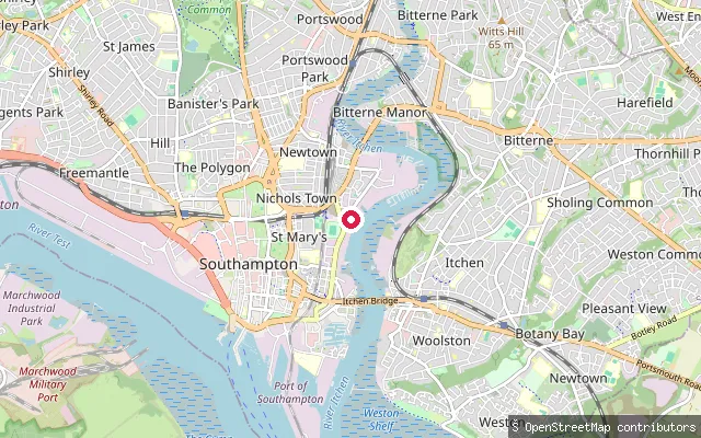
RiverCrosshouse put-in (Southampton)
Hampshire, EnglandThis slipway is on the Woolston bank of the tidal River Itchen, close to the Grade II listed Supermarine Slipway where Spitfires and flying boats were once tested. The reach sits within Southampton's working waterfront, downstream of Northam and upstream of the Itchen's confluence with Southampton Water.
 River
RiverBelvidere put-in (Southampton)
Hampshire, EnglandThis is a Southampton City Council slipway with an asphalt surface on Belvidere Road, Northam, on the tidal River Itchen. It gives access to the river between Northam Bridge and the Itchen's mouth at Southampton Water.
Save your own spots
Keep the places you launch, check the wind and shelter before you go, and log every paddle. Add a spot to the directory too, and other paddlers will find it. Free to start.
Some launch spots in this directory are seeded from open data. © OpenStreetMap contributors · Open Database Licence (ODbL)