Paddleboarding spots in Kent
87 launch spots across Kent
Every mapped spot in Kent
Zoom in to split a cluster; open a pin for the spotMap of every spot in Kent
The interactive map opens on any device with JavaScript. The full list of launch spots is below.
Launch spots
Showing 15 of 87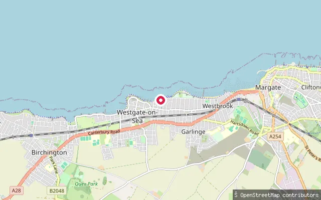 Sea
SeaSt Mildred's Bay slipway, Old Boundary Road (Westgate-on-Sea)
Kent, EnglandSt Mildred's Bay is a sandy, cliff-backed bay at the eastern end of Westgate-on-Sea on the north Kent coast, with a slipway off Old Boundary Road. Only a narrow strip of sand remains at high tide and the beach is fully covered on spring tides, with a tidal bathing pool at its western end.
 River
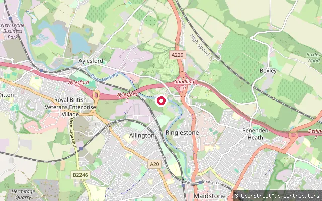
RiverAllington Lock slipway (Maidstone)
Kent, EnglandThis slipway sits at Allington Lock on the River Medway, on the northern edge of Maidstone, at the point where the navigation becomes tidal. The Environment Agency, which manages the Medway Navigation, maintains a five-metre slipway here with toilets and showers, and charges apply for its use.
 Sea
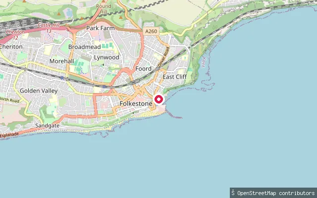
SeaFolkestone Harbour slipway
Kent, EnglandThis slipway sits within Folkestone Harbour, a 35 acre harbour built under an 1807 Act of Parliament and long used by the town's fishing fleet, with its old fish market close by. The harbour has been redeveloped for leisure and tourism since cross-Channel ferry services ended in 2001.
 Sea
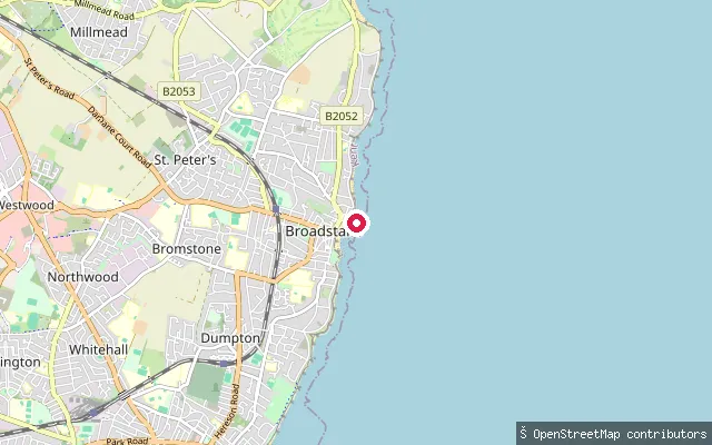
SeaViking Bay slipway (Broadstairs)
Kent, EnglandViking Bay is Broadstairs' main beach, a roughly 300-metre sandy, horseshoe-shaped bay with a small harbour and pier at its northern end sheltering a fishing fleet. This slipway gives onto the bay from the harbourside, next to the jetty car park.
 Sea
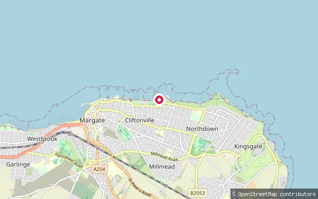
SeaWalpole Bay slipway (East Cliftonville)
Kent, EnglandWalpole Bay is a broad beach in Cliftonville with a Grade II-listed tidal pool, one of the largest in the UK, built into the sand in 1937. Paddleboarders and kayakers use both the open beach and the pool, though the pool floods with the tide so timing matters.
 Sea
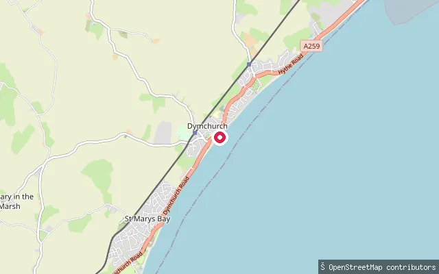
SeaDymchurch slipway, Sea Wall (north)
Kent, EnglandThis slipway sits on the Sea Wall at Dymchurch, roughly 650 metres north-east of another mapped launch point in the village, and gives onto the English Channel along the same rebuilt sea defence.
 Sea
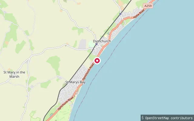
SeaDymchurch slipway, Sea Wall
Kent, EnglandThis slipway sits on the Sea Wall at Dymchurch, a Romney Marsh resort village with a Blue Flag sandy beach, and launches onto the English Channel. A rebuilt sea wall completed in 2011 lets people walk the shoreline the full length of the village.
 Sea
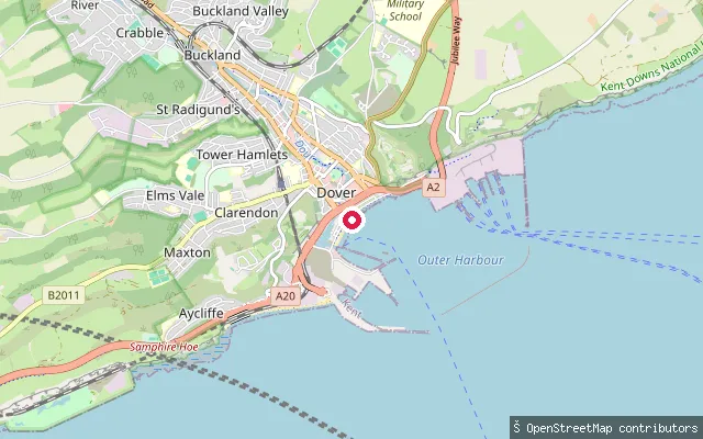
SeaDover Marina slipway
Kent, EnglandThis slipway gives access to Dover Marina, within Dover Harbour on the south Kent coast, where berths sit in the historic Wellington Dock and around the newer western docks. Dover has become a base for paddleboarding and kayaking in recent years.
 River
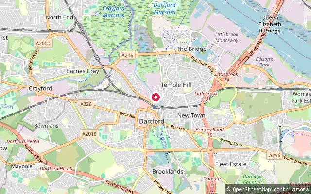
RiverDartford Slipway
Kent, EnglandDartford Slipway launches onto Dartford Creek, the tidal lower reach of the River Darent near Temple Hill, Dartford, which runs on for about two miles as a tidal estuary before joining the Thames at Crayford Ness. The Environment Agency operates the Dartford Creek Tidal Flood Barrier here, and volunteers have been clearing silt built up since the creek's 1986 commercial abandonment.
 Sea
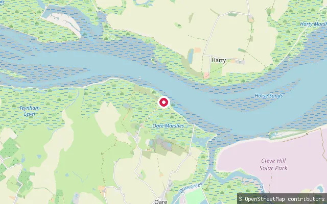
SeaDan's Dock
Kent, EnglandDan's Dock is a disused jetty on Uplees Marshes where the land meets the Swale, the tidal channel separating the Isle of Sheppey from mainland Kent. It served an explosives works on the marshes, a gun cotton factory opened in 1873 and later a munitions factory, the site of a 1916 explosion that killed over 100 workers. The jetty is now abandoned, and the marshes lie within the Swale Site of Special Scientific Interest.
 Sea
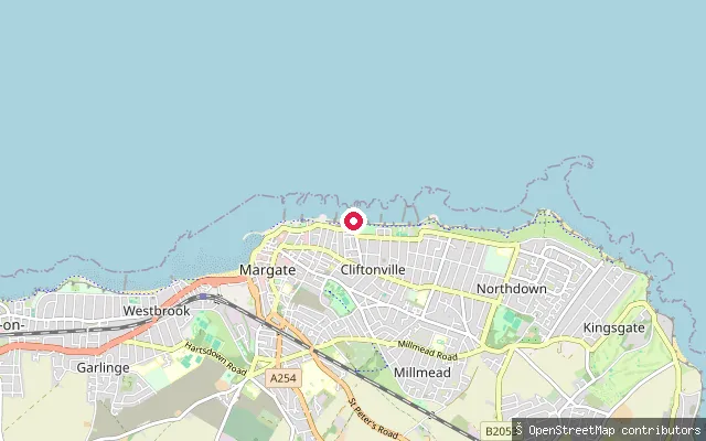
SeaNewgate Gap slipway (Cliftonville West)
Kent, EnglandThis slipway sits at Newgate Gap, a historic cliff-top access point onto an open stretch of Cliftonville beach in Margate. The gap has given pedestrian access to the shore since Victorian times, though this stretch of coast has no distinct bay name of its own.
 River
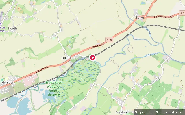
RiverGrove Ferry slipway
Kent, EnglandThis slipway sits at Grove Ferry, on the tidal Great Stour downstream of Fordwich, where a road bridge replaced a historic hand ferry crossing in 1966. The site borders Stodmarsh National Nature Reserve, a wetland SSSI and Ramsar site, and Grove Ferry Boat Club has run a clubhouse on the south bank since 1964.
 River
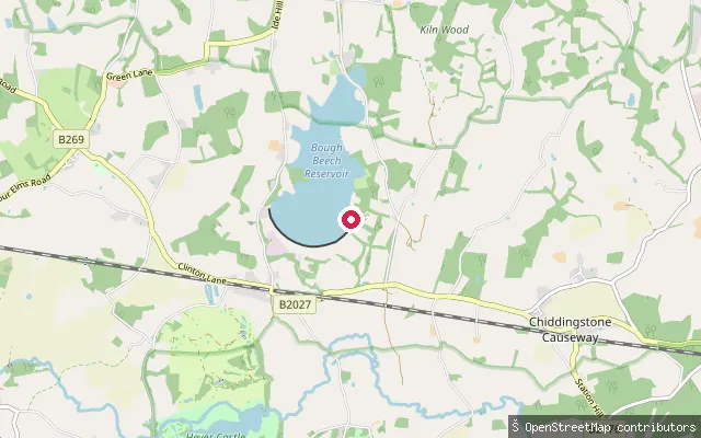
RiverChiddingstone put-in (Sevenoaks)
Kent, EnglandThis slipway is on the River Eden at Chiddingstone Causeway, a hamlet in Chiddingstone parish between Edenbridge and Penshurst. The Eden is a minor Wealden tributary that joins the River Medway a short distance downstream at Penshurst.
 River
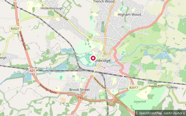
RiverBrook Street put-in (Tonbridge and Malling)
Kent, EnglandThis slipway is on the River Medway at Tonbridge, on New Wharf Road near the Brook Street area and the town's water treatment works, downstream of Tonbridge's main bridge and Town Lock. Tonbridge is the head of the Medway Navigation, historically a working wharf on the river.
 Sea
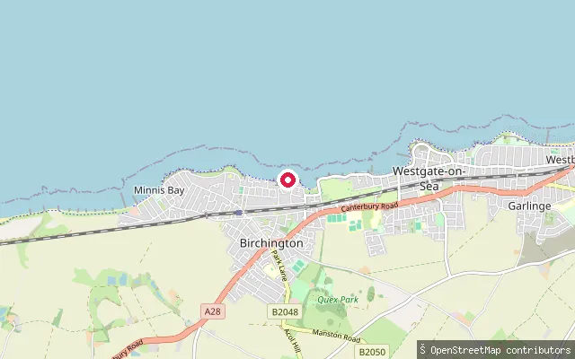
SeaEpple Bay slipway
Kent, EnglandEpple Bay is a small chalk-cliff bay on the Birchington-on-Sea seafront in Thanet, with a mix of shingle and sand exposed at low tide. This OSM-mapped slipway sits at the western edge of the bay. Thanet council designates Epple Bay's neighbouring slipways for fishing boats and sail craft rather than powered leisure craft.
Save your own spots
Keep the places you launch, check the wind and shelter before you go, and log every paddle. Add a spot to the directory too, and other paddlers will find it. Free to start.
Some launch spots in this directory are seeded from open data. © OpenStreetMap contributors · Open Database Licence (ODbL)