Paddleboarding spots in North Yorkshire
57 launch spots across North Yorkshire
Every mapped spot in North Yorkshire
Zoom in to split a cluster; open a pin for the spotMap of every spot in North Yorkshire
The interactive map opens on any device with JavaScript. The full list of launch spots is below.
Launch spots
Showing 9 of 57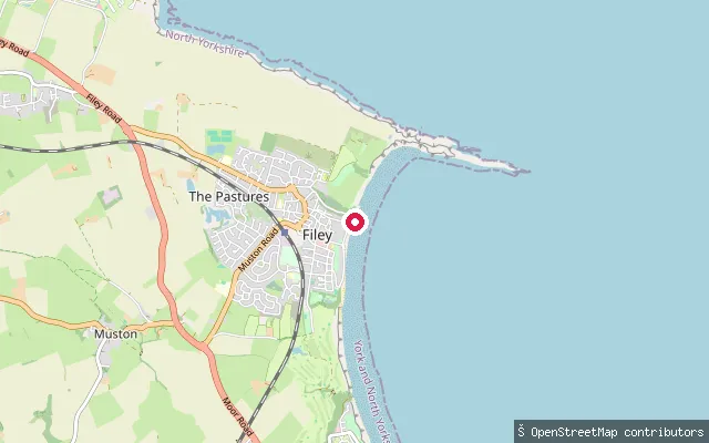 Sea
SeaFiley Coble Landing
North Yorkshire, EnglandFiley Coble Landing is a cobbled and concrete slipway at the north end of Filey seafront, launching onto the sand of Filey Bay next to the town's RNLI lifeboat station. Filey Brigg shelters the anchorage from the north, but the bay is open to easterly and southerly winds. North Yorkshire Council manages the landing; roughly two dozen leisure craft hold allocated slipway space alongside the traditional fishing cobles.
 Lake
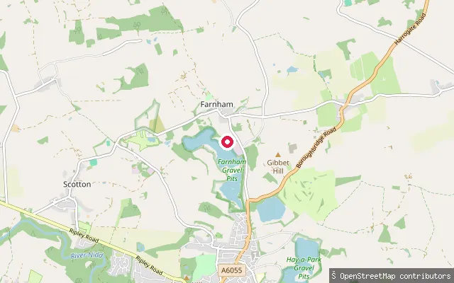
LakeFarnham put-in
North Yorkshire, EnglandThe North Lake at Farnham Gravel Pits is a flooded former gravel quarry that has been home to Ripon Sailing Club since the early 1970s, now covering about 75 acres. The neighbouring South Lake is a separate nature reserve run by the Harrogate and District Naturalists' Society, with access restricted to Society members.
 Sea
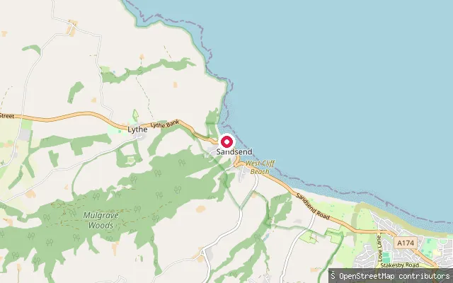
SeaFairfax Farm put-in (Sandsend)
North Yorkshire, EnglandThis slipway sits on the open coast between Sandsend and Whitby, launching onto the North Sea. Sandsend village, a short distance west, has two becks that reach the sea, Sandsend Beck and East Row Beck.
 Sea
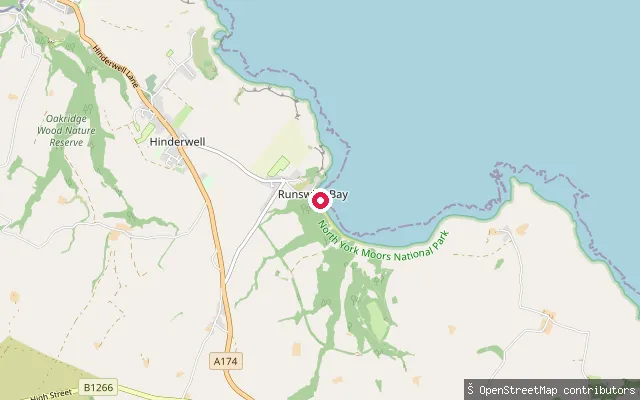
SeaRunswick Sands slipway
North Yorkshire, EnglandThis slipway launches onto the North Sea at the southern end of Runswick Bay, near Runswick Sands beach. The bay has hosted a lifeboat since 1866, first an RNLI station and, since 1982, the independent Runswick Bay Rescue Boat.
 Sea
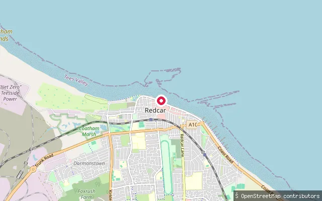
SeaDundas Slipway
North Yorkshire, EnglandDundas Slipway is a launch point on Redcar's seafront on the North Sea coast of Tees Bay, which stretches from the South Gare breakwater at the Tees mouth to Saltburn. The beach here is flat and sandy and Redcar's stretch has held a Marine Conservation Society water quality award.
 River
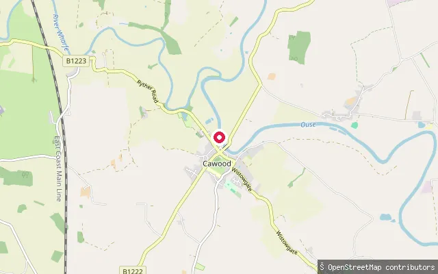
RiverCawood put-in
North Yorkshire, EnglandThis put-in is on the River Ouse at Cawood, a village south of York in the tidal reach of the river below Naburn Lock. Cawood Bridge, a swing bridge opened in 1872, crosses the river here on the site of a former ferry, and the riverside Ferry Inn offers nearby moorings.
 Canal
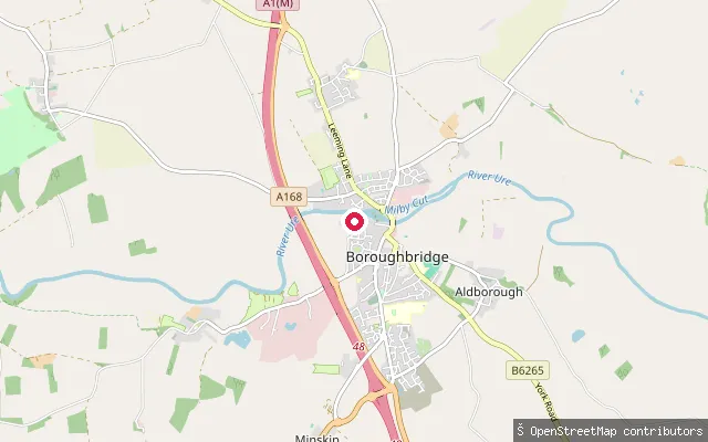
CanalBoroughbridge put-in
North Yorkshire, EnglandMilby Cut is an 850-metre artificial channel on the River Ure that bypasses Boroughbridge weir, running from the town to Milby Lock. The put-in sits beside Boroughbridge Marina on this stretch, part of the Canal and River Trust's Ure Navigation, which requires a waterways licence for canoes, kayaks and paddleboards.
 Lake
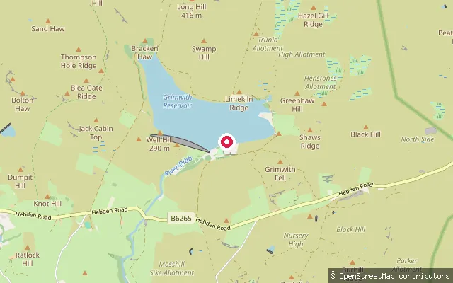
LakeGrimwith Reservoir slipway
North Yorkshire, EnglandGrimwith Reservoir is a Yorkshire Water reservoir in Wharfedale, Yorkshire Dales National Park, roughly 2km north of Appletreewick. This slipway sits on the reservoir shore used by Yorkshire Dales Sailing Club. Yorkshire Water restricts watersports craft, including canoes and paddleboards, to club members or visitors during organised club sessions.
 River
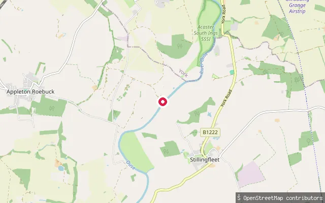
RiverAcaster Selby put-in
North Yorkshire, EnglandThis put-in is on the River Ouse by the village of Acaster Selby, south of York and downstream of Naburn Lock, where the Ouse becomes tidal. Canal & River Trust manages this stretch of the river down to Hook and requires a waterways licence for canoes, kayaks and paddleboards, which a Paddle UK membership can cover.
Save your own spots
Keep the places you launch, check the wind and shelter before you go, and log every paddle. Add a spot to the directory too, and other paddlers will find it. Free to start.
Some launch spots in this directory are seeded from open data. © OpenStreetMap contributors · Open Database Licence (ODbL)