Paddleboarding spots in West Sussex
61 launch spots across West Sussex
Every mapped spot in West Sussex
Zoom in to split a cluster; open a pin for the spotMap of every spot in West Sussex
The interactive map opens on any device with JavaScript. The full list of launch spots is below.
Launch spots
Showing 24 of 61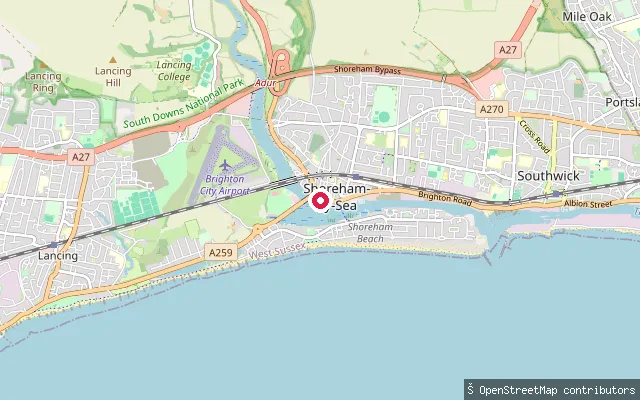 Sea
SeaKingston Buci put-in (Adur)
West Sussex, EnglandThis slipway lies on the tidal River Adur at Shoreham-by-Sea, on the reach administered as Shoreham Harbour below Old Shoreham Bridge. The completed England Coast Path route between Shoreham and Eastbourne crosses the site as a restricted byway open to walkers, cyclists and horse riders.
 Sea
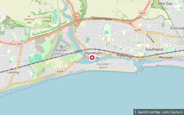
SeaKingston Buci put-in (Adur)
West Sussex, EnglandThis slipway lies on the tidal River Adur at Shoreham-by-Sea, on the reach administered as Shoreham Harbour below Old Shoreham Bridge. No further identifying detail beyond the OpenStreetMap slipway tag was found for this specific point.
 Sea
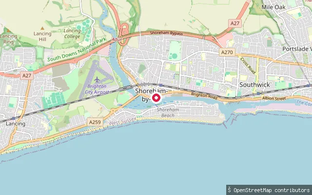
SeaKingston Buci put-in (Adur)
West Sussex, EnglandThis slipway lies on the tidal River Adur at Shoreham-by-Sea, on the reach administered as Shoreham Harbour below Old Shoreham Bridge. No further identifying detail beyond the OpenStreetMap slipway tag was found for this specific point.
 Sea
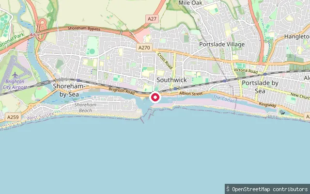
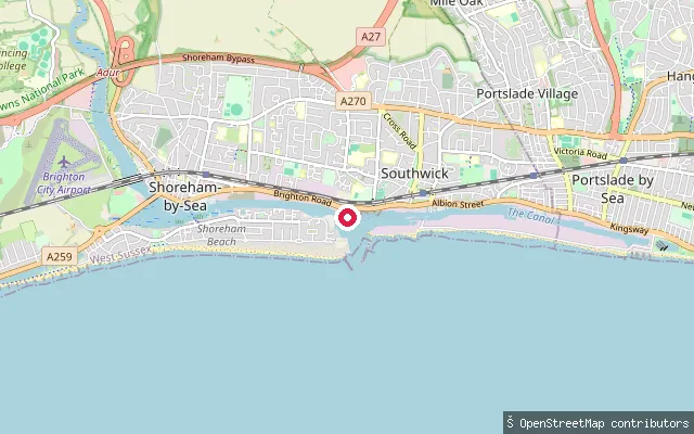
SeaKingston Buci harbour-entrance slipway
West Sussex, EnglandThis unnamed slipway lies on the tidal Shoreham Harbour channel near the harbour entrance, in the Kingston Buci area of Shoreham-by-Sea, West Sussex, roughly 260 metres east of the Shoreham Harbour Life Boat Station slips.
 Sea
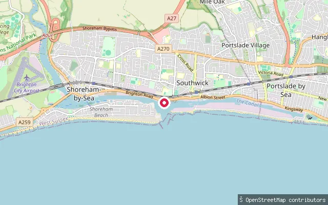
SeaShoreham Harbour Lifeboat Station slipway
West Sussex, EnglandThis slipway sits beside Shoreham Harbour Life Boat Station at Kingston Buci, on the tidal Shoreham Harbour channel near the mouth of the River Adur in Shoreham-by-Sea. The surrounding harbour is a working port under the statutory authority of Shoreham Port.
 Sea
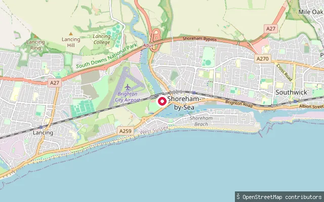
SeaKingston Buci slipway
West Sussex, EnglandThis is an unnamed slipway on the tidal Shoreham Harbour channel in the Kingston Buci area of Shoreham-by-Sea, close to Shoreham Harbour Life Boat Station, near the mouth of the River Adur, West Sussex.
 Sea
SeaKingston Buci put-in (Adur)
West Sussex, EnglandThis slipway lies on the east bank of the tidal River Adur at Kingston Buci, a historic hamlet within Shoreham-by-Sea that was briefly a port itself when the river mouth shifted eastwards in the 13th century. From Old Shoreham Bridge down to the sea the river falls under Shoreham Port's harbour office. A near-identical slipway is mapped about 53 metres away.
 Sea
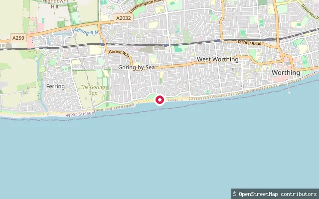
SeaGoring Green Slipway
West Sussex, EnglandThis slipway is on Marine Crescent in Goring-by-Sea and gives access to the English Channel. Wikipedia describes the local beach as a mixed pebble and sand shore that is used for watersports including kitesurfing.
 Sea
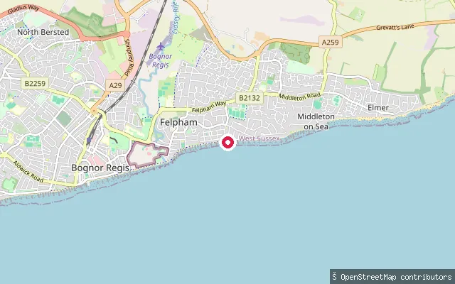
SeaFelpham put-in (Arun)
West Sussex, EnglandThis slipway lies at the eastern end of Felpham's seafront near Strand Way, close to the boundary with Middleton-on-Sea, and gives access to the open English Channel. Felpham's beachfront also has a sailing club founded in 1955, a short distance along the same stretch of coast.
 Sea
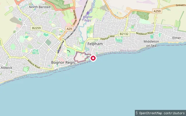
SeaFelpham put-in (Arun)
West Sussex, EnglandThis asphalt slipway driveway near Outram Road is one of several mapped along the Felpham seafront, giving access to the open water of the English Channel. OpenStreetMap notes the stretch as part of the mapped England Coast Path between Bognor Regis and Elmer.
 Sea
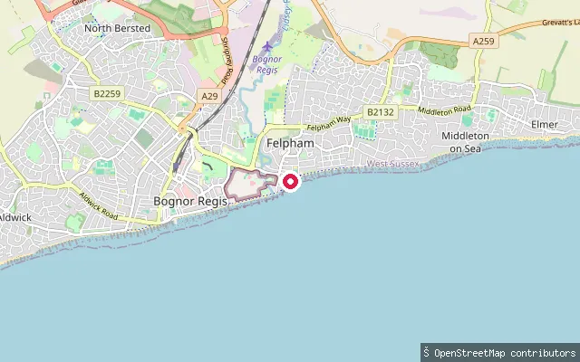
SeaFelpham put-in (Arun)
West Sussex, EnglandA second asphalt slipway driveway lies a short distance along the same stretch of Felpham seafront, again giving access to the open English Channel. A 2016 OpenStreetMap survey mapped several such slipway breaks along this seafront together.
 Sea
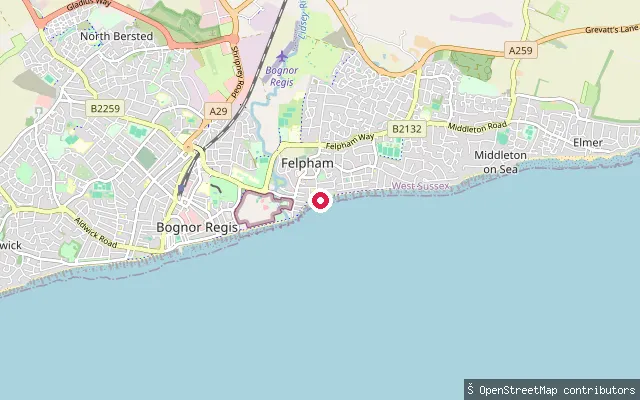
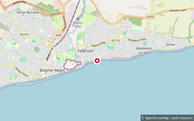
SeaFelpham put-in (Arun)
West Sussex, EnglandThis asphalt slipway sits on the Felpham seafront, giving access to the open English Channel. It was surveyed in the same 2016 OpenStreetMap pass that mapped several other slipway breaks along this stretch of coast.
 Sea
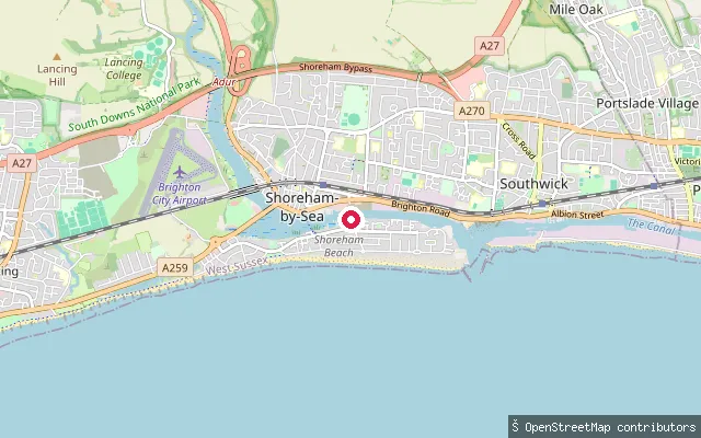
SeaFelpham put-in (Arun)
West Sussex, EnglandFurther east along the Felpham seafront, this asphalt driveway slipway gives another access point onto the open English Channel. It connects onto Axton Road and was mapped in the same 2016 survey of the area's slipways.
 Sea
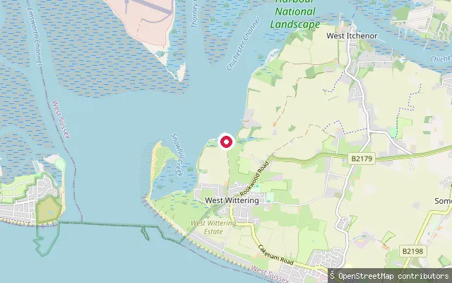
SeaEmerald Quay slipway
West Sussex, EnglandEmerald Quay slipway is a boat launch on Shoreham Beach, on the tidal Shoreham Harbour channel at the mouth of the River Adur in Shoreham-by-Sea, West Sussex. Shoreham Port, the statutory harbour authority for the harbour since 1760, oversees the surrounding commercial and leisure waters.
 Sea
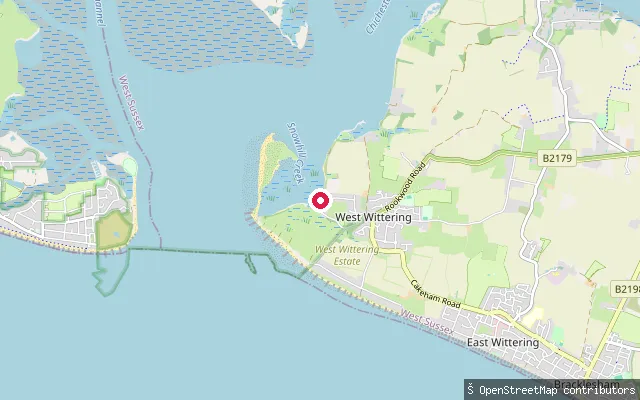
SeaEllanore Lane slipway (Roman Landing, West Wittering)
West Sussex, EnglandThis private, concrete slipway sits on Ellanore Lane at Roman Landing, on the Chichester Harbour shore near West Wittering. The harbour here is tidal, with wide mudflats exposed at low water within the Chichester Harbour National Landscape.
 Sea
SeaRoman Landing slipway (West Wittering)
West Sussex, EnglandThis private slipway lies at Roman Landing on the West Wittering shore of Chichester Harbour, a tidal natural estuary with wide mudflats exposed at low water. The harbour is designated a National Landscape (AONB) and Site of Special Scientific Interest for its birdlife.
 Sea
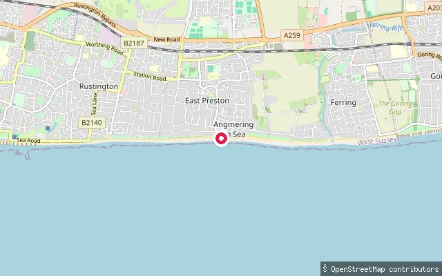
SeaEast Preston beach put-in
West Sussex, EnglandThis slipway is on the seafront at East Preston, roughly halfway between Littlehampton and Worthing, and launches onto the English Channel. An unnamed sailing club area sits immediately alongside the beach here, according to OpenStreetMap.
 Canal
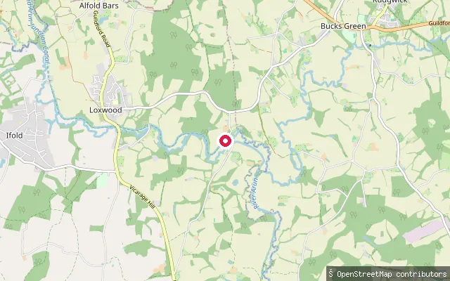
CanalDrungewick Slipway
West Sussex, EnglandDrungewick Slipway gives access to the Wey and Arun Canal near Loxwood, on a stretch between Southland Lock and Drungewick Lock that volunteers have restored and reopened to navigation. The canal here is an artificial cut, not currently connected to the national Canal and River Trust network.
 Sea
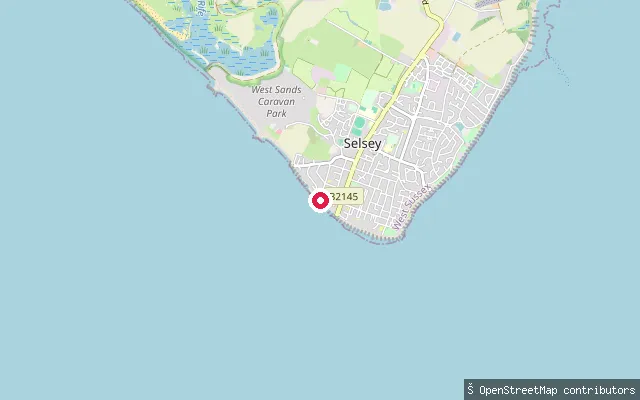
SeaWarner Road slipway, Selsey
West Sussex, EnglandA concrete slipway off Warner Road, west of Selsey Bill, gives access to Bracklesham Bay, which runs west from the Bill towards West Wittering. The bay's foreshore is described as shingle, salt marsh, reed beds and ditches, with the Medmerry RSPB reserve inland along the same coast.
 Open water
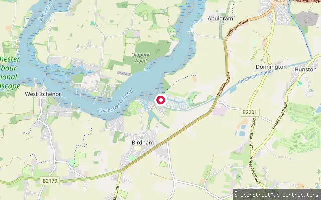
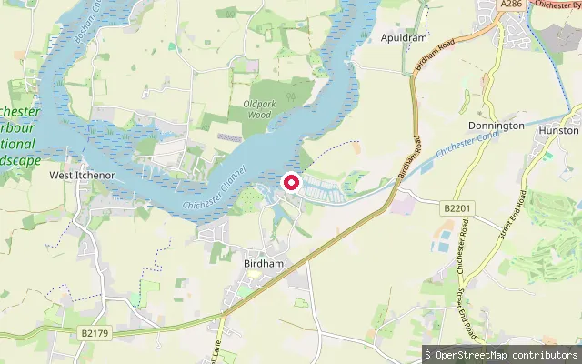
Chichester Marina slipway (Birdham)
West Sussex, EnglandThis is one of several small jetty slipways inside Chichester Marina at Birdham, a locked basin off the Chichester Channel on the west side of Chichester Harbour. Paddle craft using the harbour beyond the marina pay the Conservancy's annual harbour dues.
 Open water
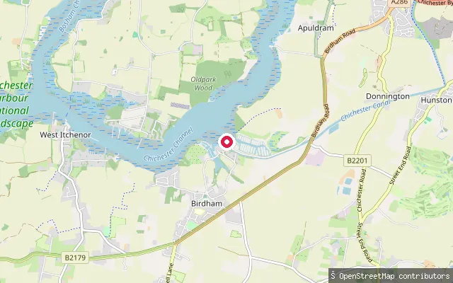
Chichester Marina slipway (Birdham)
West Sussex, EnglandThis slipway is part of a separate pier structure inside Chichester Marina at Birdham, a locked boat basin on the west side of Chichester Harbour. Paddle craft using the harbour beyond the marina pay the Conservancy's annual harbour dues.
 Open water
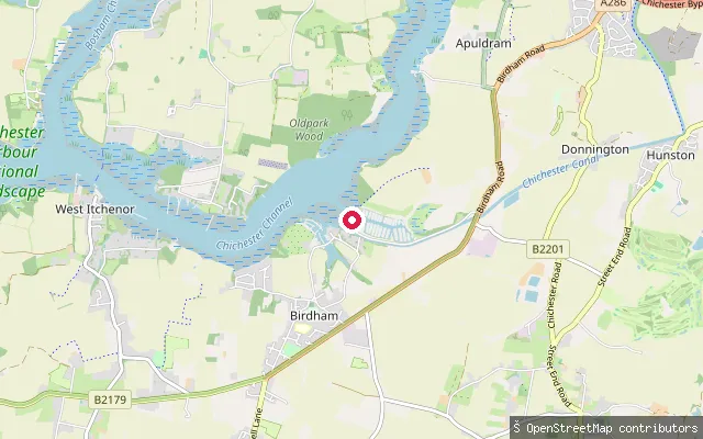
Chichester Marina slipway (Birdham)
West Sussex, EnglandThis slipway is part of another pier structure inside Chichester Marina at Birdham, a locked boat basin on the west side of Chichester Harbour. Paddle craft using the harbour beyond the marina pay the Conservancy's annual harbour dues.
 Open water
Chichester Marina slipway (Birdham)
West Sussex, EnglandThis slipway lies inside Chichester Marina, a locked boat marina at Birdham on the west side of Chichester Harbour. The marina occupies a former tide millpond and is reached through a sea lock, so its water stays at a constant level rather than following the tide. Paddle craft using the wider harbour beyond the marina pay the Conservancy's annual harbour dues.
 River
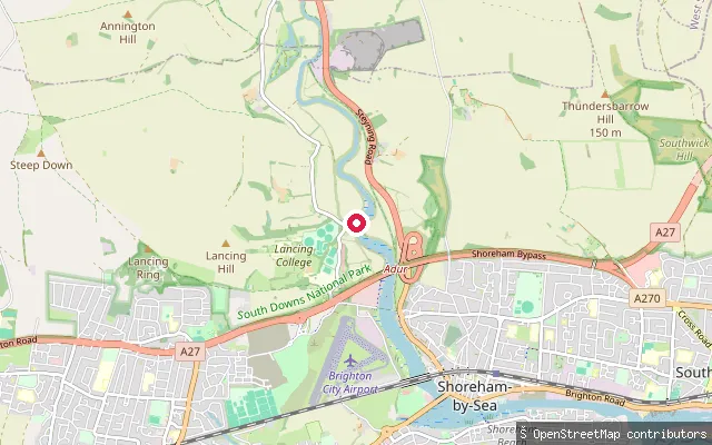
RiverCoombes put-in (Adur)
West Sussex, EnglandThis slipway sits on the west bank of the tidal River Adur near Coombes, about two miles upstream of Shoreham-by-Sea. OpenStreetMap labels the site after the former Shoreham Cement Works, which once stood on this stretch of bank. The river here is tidal, with common law navigation rights recognised upstream as far as Shermanbury on its eastern branch.
Save your own spots
Keep the places you launch, check the wind and shelter before you go, and log every paddle. Add a spot to the directory too, and other paddlers will find it. Free to start.
Some launch spots in this directory are seeded from open data. © OpenStreetMap contributors · Open Database Licence (ODbL)