Paddleboarding spots in Cornwall
135 launch spots across Cornwall
Every mapped spot in Cornwall
Zoom in to split a cluster; open a pin for the spotMap of every spot in Cornwall
The interactive map opens on any device with JavaScript. The full list of launch spots is below.
Launch spots
Showing 24 of 135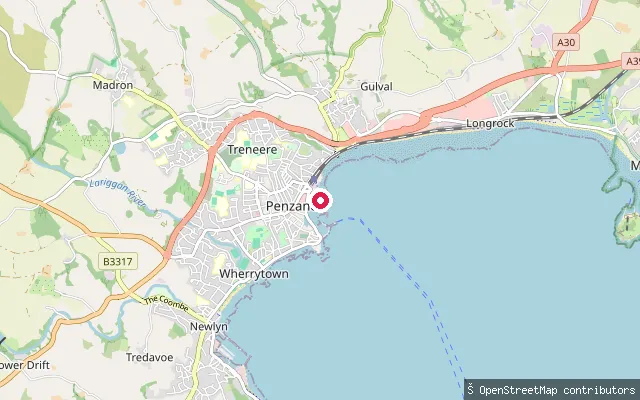 Sea
SeaPenzance Harbour slipway
Cornwall, EnglandA slipway close to parking near Penzance Harbour, launching onto Mount's Bay a short distance from the harbour mouth.
 Sea
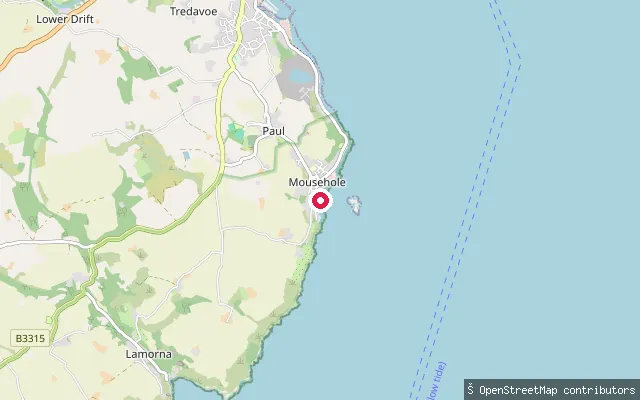
SeaMousehole slipway (south)
Cornwall, EnglandA second slipway at the southern edge of Mousehole, opening onto Mount's Bay next to South West Coast Path parking.
 Sea
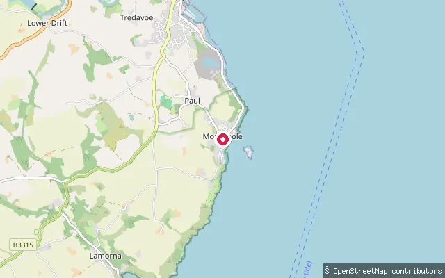
SeaMousehole slipway
Cornwall, EnglandA paved public slipway on Mousehole's harbour front on Mount's Bay, a short walk from the village's outer harbour wall.
 Sea
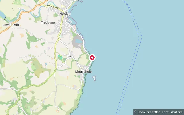
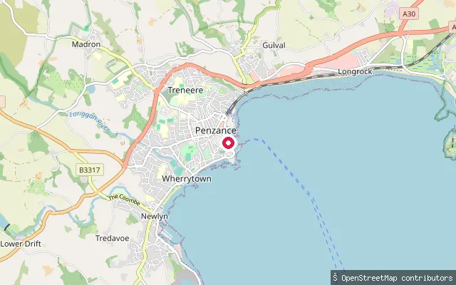
SeaPenlee Point slipway
Cornwall, EnglandA slipway near Penlee Point on the coast path between Newlyn and Mousehole, opening onto Mount's Bay close to the site of the former Penlee lifeboat house.
 Sea
SeaSt Michaels Mouth slipway
Cornwall, EnglandSt Michaels Mouth is a small-craft slipway right at the mouth of Penzance Harbour on Mount's Bay, with St Michael's Mount visible across the bay to the east.
 Sea
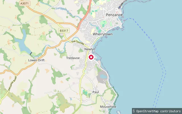
SeaNewlyn slipway
Cornwall, EnglandA slipway on the harbour service road at Newlyn, about 300 metres from Newlyn Slip, opening onto Mount's Bay in west Cornwall.
 Sea
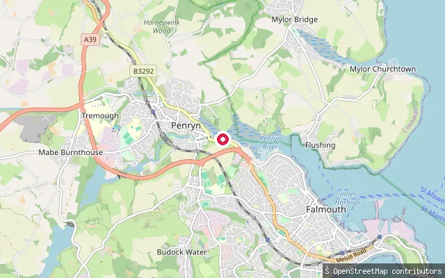
SeaPenryn put-in
Cornwall, EnglandThis is a private concrete slipway, about 5 metres wide, on the tidal Penryn River near Bissom between Penryn and Falmouth, not a public launch point.
 Sea
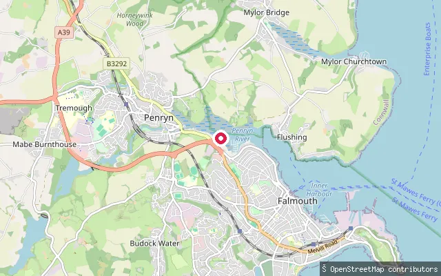
SeaPenryn put-in
Cornwall, EnglandThis slipway launches onto the tidal Penryn River close to Ponsharden, the boatyard and industrial area on the river between Penryn and Falmouth. Penryn's own Cornwall Harbours-run quays, including Exchequer Quay and Ponsharden Pontoon, lie a short distance upstream.
 Sea
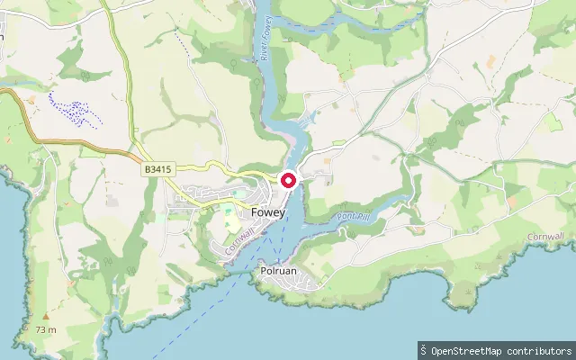
SeaPassage Slip, Fowey
Cornwall, EnglandPassage Slip is a named slipway on the west bank of the Fowey Estuary in Fowey, close to the Bodinnick ferry crossing and the RNLI lifeboat station on Passage Street. Fowey Harbour Commissioners require paddlers to register their craft and pay an annual harbour due for use of the estuary.
 Sea
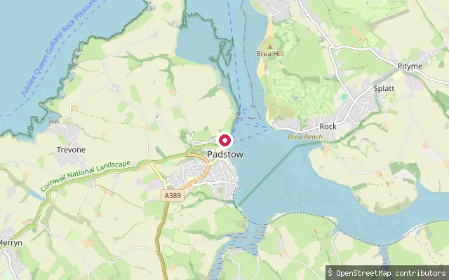
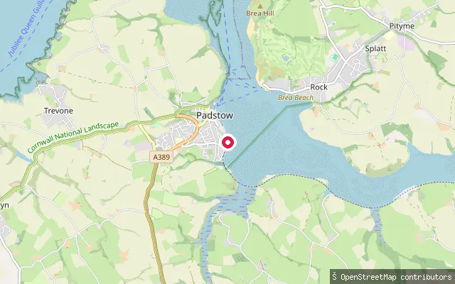
SeaPadstow put-in
Cornwall, EnglandThis slipway sits on North Quay Parade in Padstow, close to the passenger ferry crossing to Rock on the tidal Camel Estuary. Padstow Harbour Commissioners' byelaws and published SUP code of conduct apply to craft launching along this stretch of harbour frontage.
 Sea
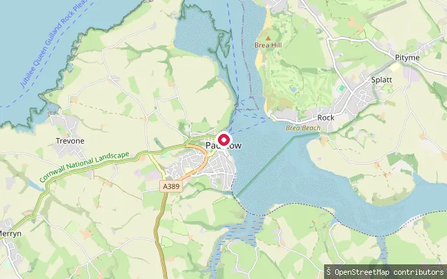
SeaPadstow put-in
Cornwall, EnglandThis slipway lies on North Quay in Padstow, on the tidal Camel Estuary in north Cornwall, close to another mapped slipway on the same quay. Padstow Harbour Commissioners' byelaws and published SUP code of conduct apply to small craft launching in the harbour.
 Sea
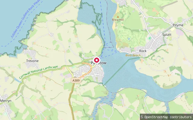
SeaPadstow put-in
Cornwall, EnglandThis concrete slipway sits on North Quay in Padstow's tidal harbour, part of the Camel Estuary on Cornwall's north coast. Padstow Harbour Commissioners publish a SUP code of conduct and the harbour's byelaws apply to small craft launching here.
 Sea
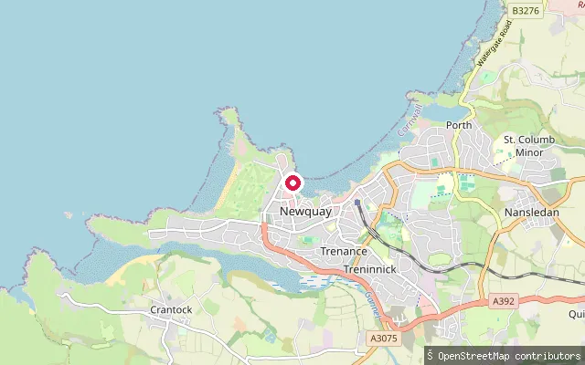
SeaPadstow put-in
Cornwall, EnglandThis slipway is on the open Camel Estuary shore south of Padstow's harbour, near Porthilly View, facing across the tidal estuary towards Rock and Porthilly Cove. The estuary here lies within the Cornwall Area of Outstanding Natural Beauty, with small Sites of Special Scientific Interest nearby at Rock Dunes and Trebetherick Point.
 Sea
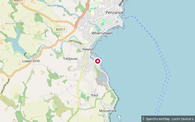
SeaNewquay Harbour Slipway
Cornwall, EnglandThis slipway launches into Newquay Harbour on Cornwall's north coast, a working harbour first developed from the 1610s and expanded through the nineteenth century. Newquay's RNLI lifeboat station has operated from the harbour since 1965, alongside the harbour's fishing and leisure boats.
 Sea
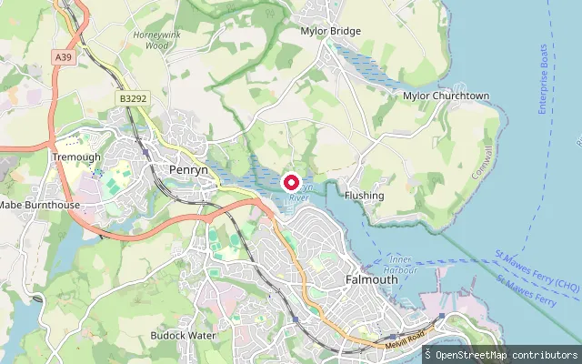
SeaNewlyn Slip
Cornwall, EnglandNewlyn Slip is a ramp in Newlyn's working fishing harbour on Mount's Bay in west Cornwall. It is mapped as a shoreline ramp for launching small craft directly from the harbour front.
 Sea
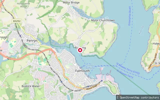
SeaNorth Parade slipway, Falmouth (east)
Cornwall, EnglandThis slipway is on North Parade in Falmouth, launching onto the tidal Penryn River close to its confluence with Carrick Roads, about 150 metres from Sailors Creek, a small named tidal inlet.
 Sea
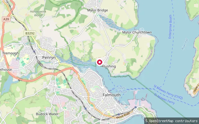
SeaTrefusis Road slipway, Little Falmouth
Cornwall, EnglandThis slipway sits on Trefusis Road in the Little Falmouth part of Flushing, launching onto the tidal Penryn River where it opens into Carrick Roads opposite Falmouth.
 Sea
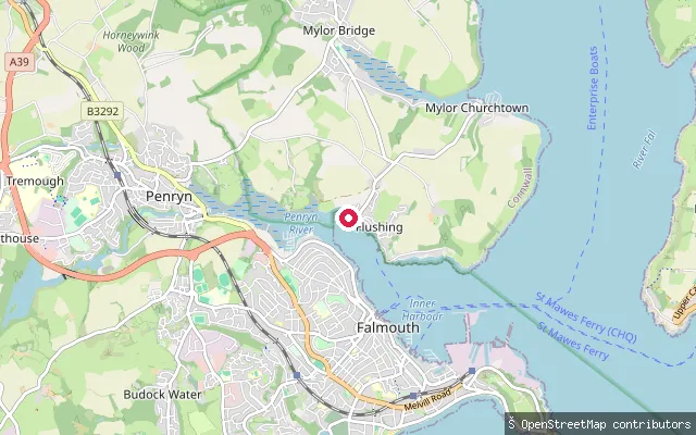
SeaLittle Falmouth slipway (north)
Cornwall, EnglandThis slipway launches onto the Penryn River at Little Falmouth, a small hamlet on the Flushing shore where the river widens into Carrick Roads directly opposite Falmouth. It sits about 65 metres north of a near-identical slipway on the same stretch of shore.
 Sea
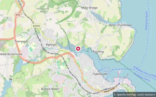
SeaLittle Falmouth slipway (south)
Cornwall, EnglandThis slipway launches onto the Penryn River at Little Falmouth, a small hamlet on the Flushing shore where the river widens into Carrick Roads directly opposite Falmouth. It is tidal saltwater rather than a freshwater river, and a near-identical slipway sits about 65 metres to the north.
 Sea
SeaNorth Parade slipway, Falmouth (west)
Cornwall, EnglandThis slipway is on North Parade in Falmouth, launching onto the tidal Penryn River close to its confluence with Carrick Roads, a short walk from Sailors Creek, a small named tidal inlet.
 Sea
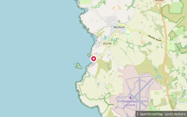
SeaMullion Cove slipway
Cornwall, EnglandThis slipway is at Mullion Cove harbour on the Lizard peninsula, which opens onto Mount's Bay. A small shellfish fishery still operates from the cove, and OpenStreetMap records access to the slipway as permissive.
 Sea
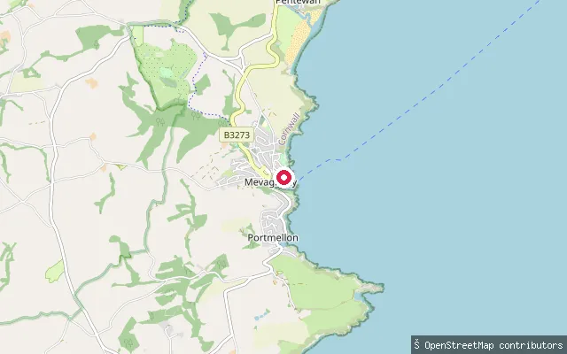
SeaMevagissey Harbour slipway
Cornwall, EnglandMevagissey Harbour is a working fishing and pleasure-boat harbour on the eastern side of Mevagissey Bay in south Cornwall, run as a Trust Port charity by Mevagissey Harbour Trustees since 1988. This concrete slipway is inside the harbour and carries a launching fee set by the trustees.
 Sea
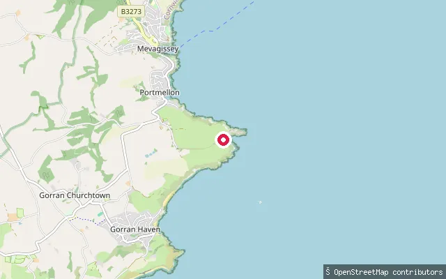
SeaPortmellon slipway (south)
Cornwall, EnglandThis slipway sits on the open coast about a kilometre south of Portmellon, between Portmellon and Gorran Haven on the southern reach of Mevagissey Bay in south Cornwall.
 Sea
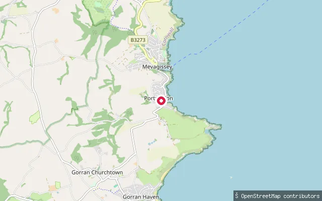
SeaPortmellon slipway
Cornwall, EnglandPortmellon is a small cove hamlet immediately south of Mevagissey, on Mevagissey Bay. It was the original base of Mevagissey's RNLI lifeboat from 1869 until the station moved into the main harbour in 1888.
Save your own spots
Keep the places you launch, check the wind and shelter before you go, and log every paddle. Add a spot to the directory too, and other paddlers will find it. Free to start.
Some launch spots in this directory are seeded from open data. © OpenStreetMap contributors · Open Database Licence (ODbL)