Paddleboarding spots in Cornwall
135 launch spots across Cornwall
Every mapped spot in Cornwall
Zoom in to split a cluster; open a pin for the spotMap of every spot in Cornwall
The interactive map opens on any device with JavaScript. The full list of launch spots is below.
Launch spots
Showing 24 of 135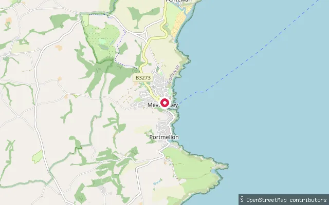 Sea
SeaMevagissey Harbour slipway (west quay)
Cornwall, EnglandA second slipway inside Mevagissey Harbour, a short walk from the harbour trustees' fee-paying slipway on the opposite quay. The harbour is a working fishing and pleasure-boat port on the eastern side of Mevagissey Bay.
 Sea
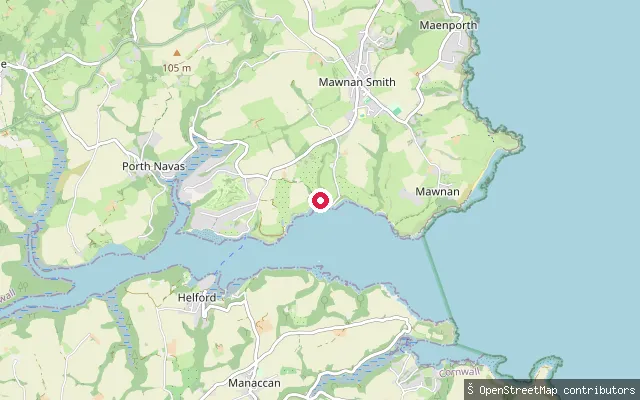
SeaHelford Passage slipway
Cornwall, EnglandThis slipway is on the Helford River at Helford Passage, on the river's north bank opposite Helford village, where a seasonal foot ferry crosses between the two. The Helford is a tidal ria within a Special Area of Conservation.
 Sea
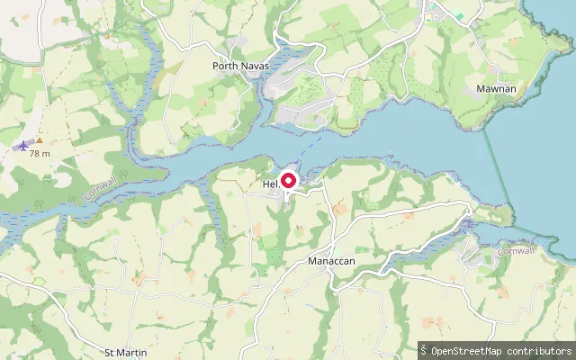
SeaGillan Creek slipway (Manaccan)
Cornwall, EnglandThis slipway launches onto Gillan Creek, a tidal creek of the Helford River that runs through the valley just south of Manaccan. A public byway leads down to the slipway from the village.
 Sea
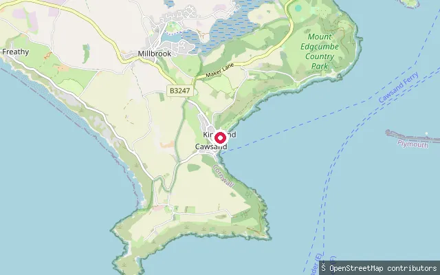
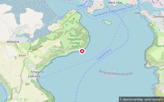
SeaThe Cleave slipway, Kingsand
Cornwall, EnglandThis slipway is at The Cleave in Kingsand, a twin village with Cawsand on the Rame Peninsula that overlooks Cawsand Bay within Plymouth Sound. The South West Coast Path runs through the village, and the OSM element records it as a public footpath (Maker-with-Rame FP 20) as well as a slipway.
 Sea
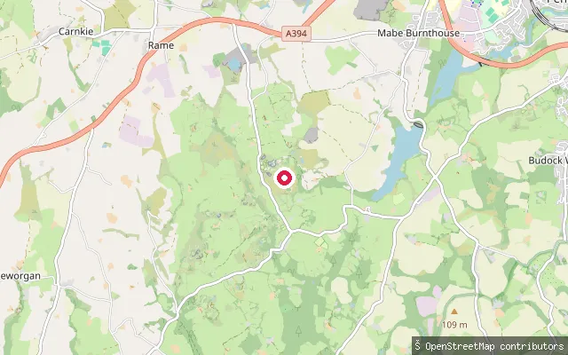
SeaFort Picklecombe slipway
Cornwall, EnglandThis private slipway is part of Fort Picklecombe, a Victorian coastal fort built between 1864 and 1871 to help defend Devonport, converted into residential apartments in the early 1970s. It sits on the Rame Peninsula shore near Picklecombe Point, overlooking Plymouth Sound.
 Lake
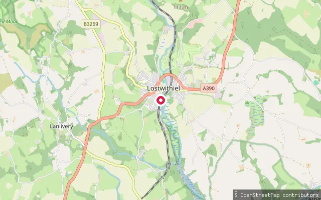
LakeKessel Quarry slipway (Kernow Adventure Park)
Cornwall, EnglandThis slipway serves Kessel Quarry, a flooded former granite quarry at Mabe Burnthouse now run as a commercial watersports site, Kernow Adventure Park. The operator offers paddleboarding, swimming and an aqua park by advance booking.
 River
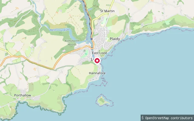
RiverLostwithiel Quay slip
Cornwall, EnglandThis slipway is on Quay Street at Polscoe, just south of Lostwithiel, at the head of the River Fowey's tidal estuary. Fowey Harbour Commissioners' jurisdiction runs from the harbour mouth up to the tidal limit at Lostwithiel's medieval bridge. Lostwithiel was a working river port until siltation reduced navigation, and a horse-drawn tramway once carried ore from the Restormel mine down to the town quay.
 Sea
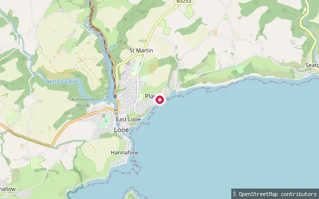
SeaEast Looe Harbour slipway
Cornwall, EnglandThis slipway launches into Looe Harbour, where the East and West Looe Rivers meet the sea beside the town's sandy beach. The harbour is tidal, and low-lying parts of Looe flood at very high tides. OSM marks this particular slipway as private.
 Sea
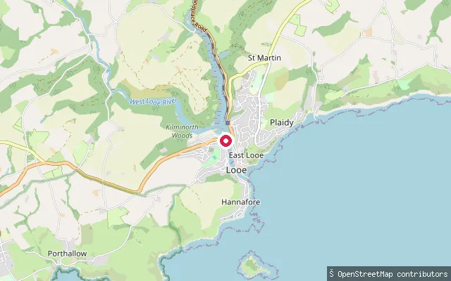
SeaPlaidy Beach slipway
Cornwall, EnglandPlaidy Beach lies on the cliffs east of Looe harbour, between the town and the bay and village of Millendreath. A slipway off Plaidy Lane gives direct access to the beach on this stretch of the open south Cornwall coast.
 Sea
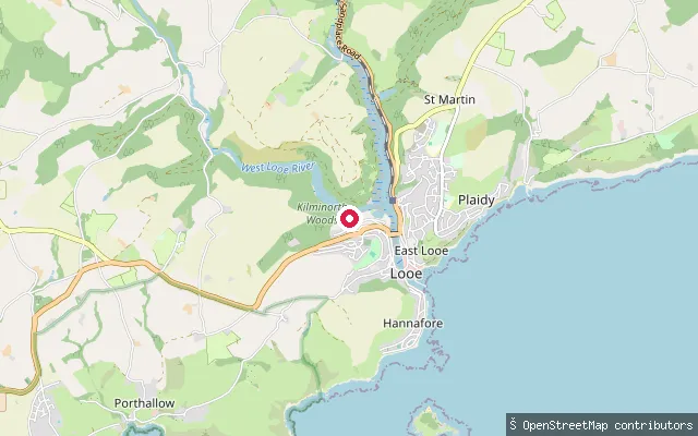
SeaTalland coast slipway (Portlooe)
Cornwall, EnglandThis slipway sits on the short stretch of coast between Looe and Polperro, close to the hamlet of Portlooe. The nearest named water is Talland Bay, which holds two sheltered shingle beaches, Talland Sand and Rotterdam Beach, served by a small car park and cafe.
 Sea
SeaTalland Bay slipway (Millpool)
Cornwall, EnglandThis slipway sits directly on the coastline near the Millpool car park above Talland Bay, between Looe and Polperro. Talland Bay has two sheltered shingle beaches, Talland Sand and Rotterdam Beach, and was historically used as a landing spot by smugglers.
 Sea
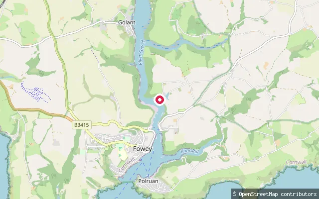
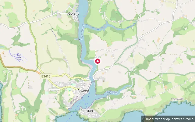
SeaMixtow slip
Cornwall, EnglandThis slipway is at Mixtow, a small hamlet on the east bank of the Fowey Estuary between Bodinnick and Golant, in the parish of Lanteglos. Fowey Harbour Commissioners require paddlers to register their craft and pay an annual harbour due, as the estuary here falls within the Commissioners' jurisdiction, which runs from the harbour mouth to Lostwithiel's medieval bridge.
 Sea
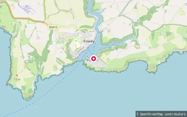
SeaMixtow foreshore slip
Cornwall, EnglandThis slipway lies around 160 metres from another launch point at Mixtow, a hamlet on the east bank of the Fowey Estuary between Bodinnick and Golant. Fowey Harbour Commissioners require paddlers to register their craft and pay an annual harbour due for use of the estuary.
 Sea
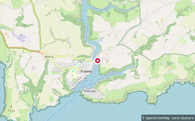
SeaPolruan slip, East Street
Cornwall, EnglandThis slipway is on East Street in Polruan, on the east bank of the Fowey Estuary directly opposite Fowey town. The sheltered stretch of water here is known locally as Polruan Pool, and a passenger ferry crosses to Fowey roughly every 15 minutes. Fowey Harbour Commissioners require paddlers to register their craft and pay an annual harbour due for use of the estuary.
 Sea
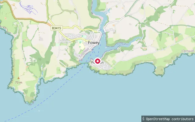
SeaBodinnick Ferry slip
Cornwall, EnglandThis slipway sits on the east bank of the Fowey Estuary at Bodinnick, in the civil parish of Lanteglos-by-Fowey, directly opposite Fowey. It is the Bodinnick side of the vehicle ferry, a crossing said to have operated here since the 13th century. Fowey Harbour Commissioners require paddlers to register their craft and pay an annual harbour due for use of the estuary.
 Sea
SeaLanteglos put-in
Cornwall, EnglandThis slipway sits on the River Fowey estuary's eastern shore in the civil parish of Lanteglos-by-Fowey, on the Hall Walk route between Bodinnick and Polruan that passes the tidal creek of Pont Pill. The same Fowey Harbour registration and speed-limit rules for small craft apply on this stretch of the estuary.
 River
RiverLandulph put-in
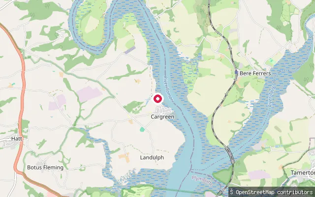
Cornwall, EnglandThis slipway launches onto the tidal River Tamar at Landulph, within the Tamar Valley National Landscape (AONB). The Tamar here is a broad tidal ria, navigable up to a weir just below Gunnislake, with navigation on the lower reaches managed by the Queen's Harbour Master for Plymouth.
 River
RiverLandulph put-in (Cargreen)
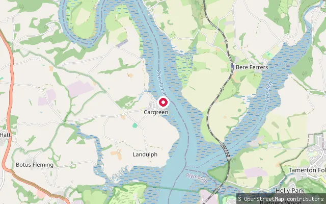
Cornwall, EnglandThis second Landulph-parish slipway lies close to Cargreen village, on the tidal River Tamar within the Tamar Valley National Landscape. The Tamar's tidal channel here also forms the county boundary, with Devon on the opposite bank.
 River
RiverSt Erney put-in
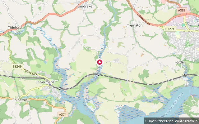
Cornwall, EnglandThis slipway is on the tidal River Lynher near the hamlet of St Erney, in the civil parish of Landrake with St Erney. The estuary here forms part of the Tamar Estuaries Complex, designated a Site of Special Scientific Interest and Special Protection Area for its bird life.
 Sea
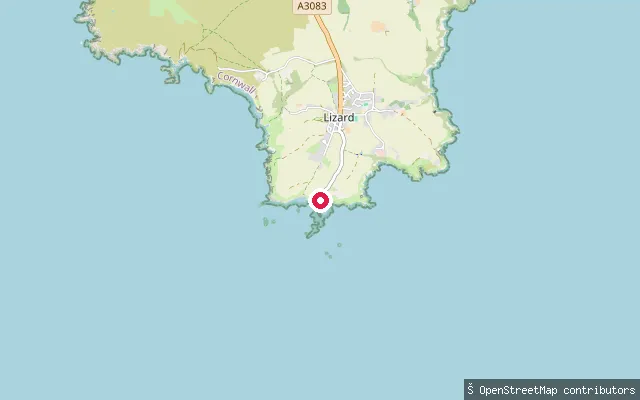
SeaChurch Cove slipway
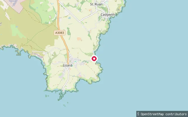
Cornwall, EnglandChurch Cove is a small rock and shingle cove on the Lizard peninsula, a short walk from Lizard village in the parish of Landewednack. A paved slipway drops to the water past old fishermen's cellars built into the cliff.
 Sea
SeaPolpeor Cove slipway
Cornwall, EnglandPolpeor Cove lies immediately east of Lizard Point, the southernmost tip of mainland Britain, in the parish of Landewednack. It holds the disused slipway of the original Lizard lifeboat station, which operated from the cove before the service relocated to Kilcobben Cove in 1961.
 River
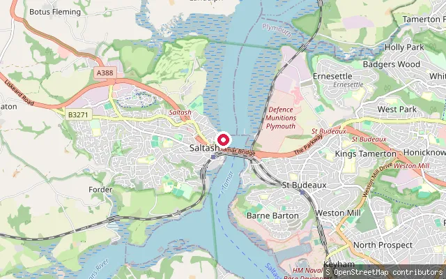
RiverJubilee Green Slipway
Cornwall, EnglandJubilee Green Slipway is a concrete slipway on Old Ferry Road at Waterside in Saltash, on the tidal River Tamar just south of the Tamar road and rail bridges. The King's Harbour Master for Plymouth controls navigation on this reach of the Tamar down to Plymouth Sound.
 Sea
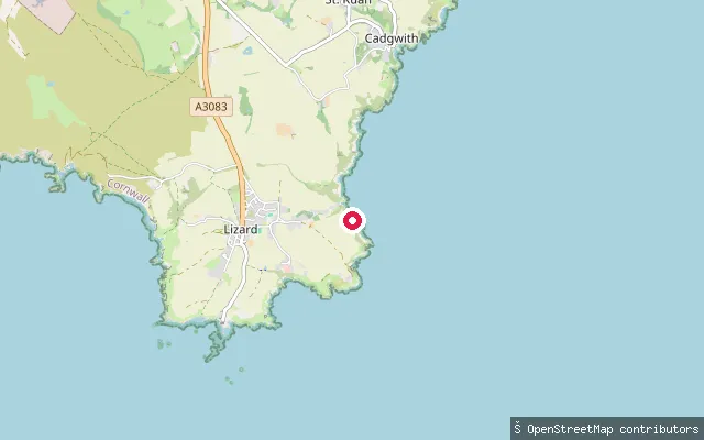
SeaKilcobben Cove slipway
Cornwall, EnglandKilcobben Cove is a small inlet on the south coast of the Lizard peninsula, roughly half a mile east of Lizard village in the parish of Landewednack. It has been home to the RNLI's Lizard lifeboat station since 1961, with a service slipway running down to the water beside the station.
 Sea
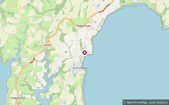
SeaPorthcurnick Beach slipway
Cornwall, EnglandThis slipway reaches Porthcurnick Beach, a sand and shingle beach on Gerrans Bay a short walk north of Portscatho on the Roseland Peninsula. It runs off an unclassified lane through the hamlet of Rosevine.
Save your own spots
Keep the places you launch, check the wind and shelter before you go, and log every paddle. Add a spot to the directory too, and other paddlers will find it. Free to start.
Some launch spots in this directory are seeded from open data. © OpenStreetMap contributors · Open Database Licence (ODbL)