Paddleboarding spots in Devon
131 launch spots across Devon
Every mapped spot in Devon
Zoom in to split a cluster; open a pin for the spotMap of every spot in Devon
The interactive map opens on any device with JavaScript. The full list of launch spots is below.
Launch spots
Showing 24 of 131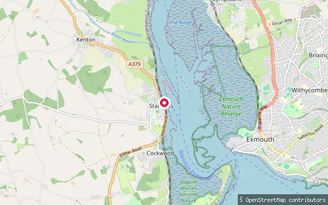 Sea
SeaStarcross Ferry Club slipway
Devon, EnglandThis slipway sits on the Starcross waterfront a short way north of The Strand, close to the SFCC (Starcross sailing/cruising club) pontoon and opposite the tidal mudflat known as Starcross Sand. It launches into the tidal Exe Estuary. The Exe Water Users Code, published by the Exe Estuary Management Partnership, sets a 10-knot speed byelaw and asks paddlers to keep at least 100m from birds.
 Sea
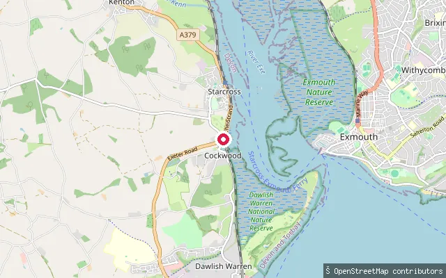
SeaStarcross Strand slipway
Devon, EnglandThis slipway launches from The Strand (A379) in Starcross, on the west shore of the Exe Estuary opposite Exmouth. A seasonal foot-passenger ferry crosses the estuary between Starcross and Exmouth in summer, and the estuary's extensive mudflats are exposed at low tide. The Exe Water Users Code, published by the Exe Estuary Management Partnership, sets a 10-knot speed byelaw and asks paddlers to keep at least 100m from birds.
 River
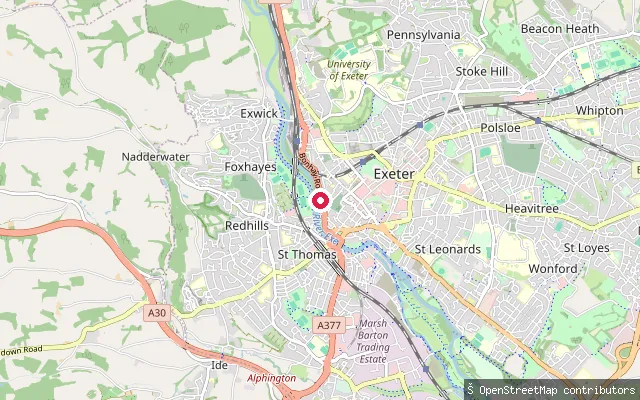
RiverSt Thomas put-in (Exeter)
Devon, EnglandThis is a whitewater put-in on the River Exe in the St Thomas area of Exeter, upstream of the city's tidal limit at Trews Weir. St Thomas is a district on the west bank of the river through central Exeter.
 Canal
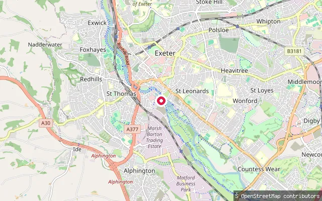
CanalSt Leonards put-in (Exeter)
Devon, EnglandThis slipway is at Exeter Quay, where the Exeter Ship Canal ends in a basin now used as a marina and boatyard. The Quay sits just above Trews Weir, the tidal limit of the River Exe, with the canal itself running about 5km south to Turf Lock on the Exe Estuary.
 Sea
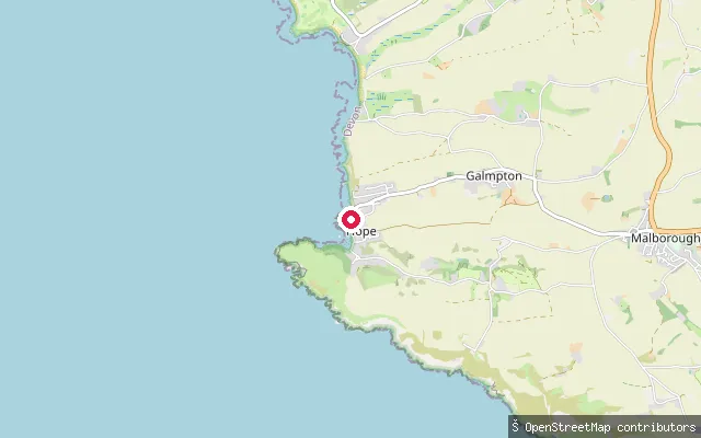
SeaSouth Huish put-in (South Hams)
Devon, EnglandThis slipway serves Hope Cove, a beach on Bigbury Bay sheltered by the headland of Bolt Tail, in the civil parish of South Huish, South Hams. The village divides into Outer Hope to the north and Inner Hope to the south, both built up around a historic fishing and smuggling trade.
 Sea
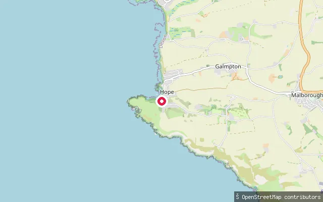
SeaSouth Huish put-in (South Hams)
Devon, EnglandThis stone-sett slipway launches onto Harbour Beach at Inner Hope, the sheltered southern part of Hope Cove village on Bigbury Bay, South Hams. Inner Hope belonged to the neighbouring parish of Malborough until 1974, when it was unified with Outer Hope.
 Sea
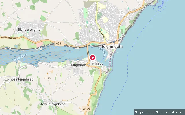
SeaRiverside slipway (near Shaldon Bridge)
Devon, EnglandThis concrete slipway on Riverside in Shaldon lies close to Shaldon Bridge, which links Shaldon to Teignmouth across the Teign Estuary. OpenStreetMap records the launch as publicly accessible.
 Sea
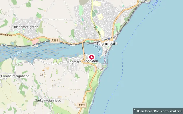
SeaRiverside slipway, Shaldon
Devon, EnglandThis concrete slipway on Riverside in Shaldon sits further downstream toward the estuary mouth, on the south bank opposite Teignmouth. OpenStreetMap records the launch as publicly accessible.
 Sea
SeaRingmore Road slipway, Shaldon
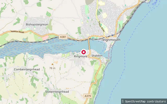
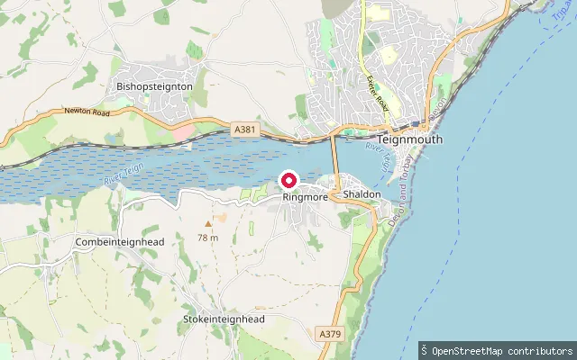
Devon, EnglandThis slipway sits on Ringmore Road in Shaldon, on the south bank of the Teign Estuary a short walk from Shaldon Bridge, the road crossing to Teignmouth.
 Sea
SeaThe Strand slipway, Shaldon
Devon, EnglandThis slipway sits on the Strand in Shaldon, on the south bank of the Teign Estuary opposite Teignmouth. Shaldon looks north across the estuary mouth toward Teignmouth's harbour and quays, and a passenger ferry links the two towns.
 Sea
SeaKingsbridge Estuary slipway
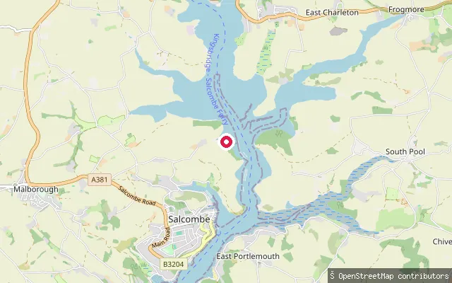
Devon, EnglandThis slipway launches onto the main channel of the Kingsbridge Estuary roughly 2km north of Salcombe town, on the sheltered tidal water between Batson Creek and Southpool Creek.
 Sea
SeaPolly Steps slipway
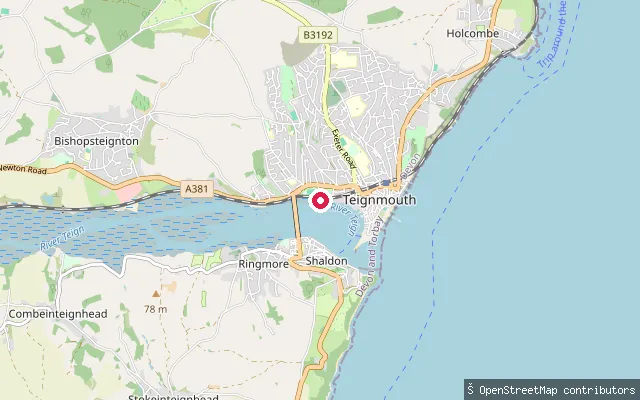
Devon, EnglandPolly Steps slipway is a concrete slipway off Bitton Court in Teignmouth, on the Teign Estuary shore opposite Shaldon. OpenStreetMap records it as open access with no launch fee.
 River
RiverOtterton slipway
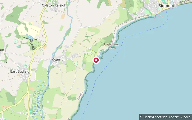
Devon, EnglandThis slipway lies on the River Otter just north of Otterton village, upstream of the weir and fish pass at Otterton Mill that marks the practical head of tidal influence. Below the mill, the tidal Otter runs into the Otter Estuary Nature Reserve near Budleigh Salterton, where the managing trust asks that craft launch from the beach rather than the estuary to protect wildlife. As with most English rivers, no general public right of navigation applies to this non-tidal stretch above the mill.
 Sea
SeaOld Coastguard Cottages landing, River Yealm
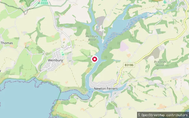
Devon, EnglandA private quayside landing on the River Yealm estuary below Warren Point, serving a row of former coastguard cottages that are reachable only by boat or on foot from Wembury, across the water from Newton Ferrers and Noss Mayo. Holiday-letting descriptions of the cottages note their own quay with an outhaul mooring, licensed through the River Yealm Harbour Authority and usable at all states of the tide.
 Sea
SeaOak Park Farm put-in (South Hams)
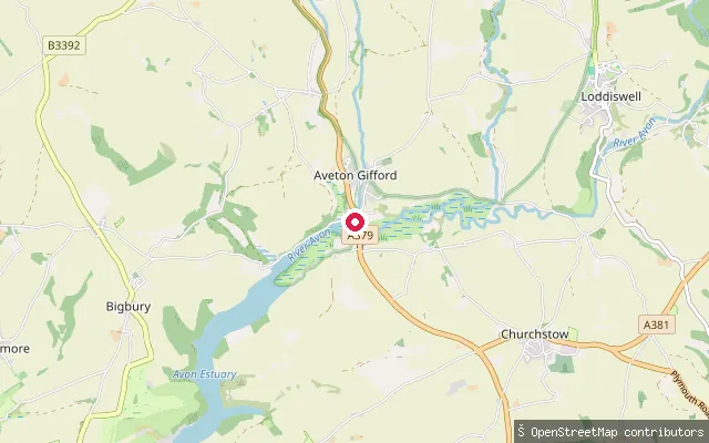
Devon, EnglandThis slipway launches onto the Avon Estuary just below Aveton Gifford, South Hams, close to where the River Avon becomes tidal. The Bantham Estate administers around three-quarters of the tidal river between Bantham and Aveton Gifford, including its moorings and sporting rights.
 Sea
SeaAppledore slipway, New Quay Street
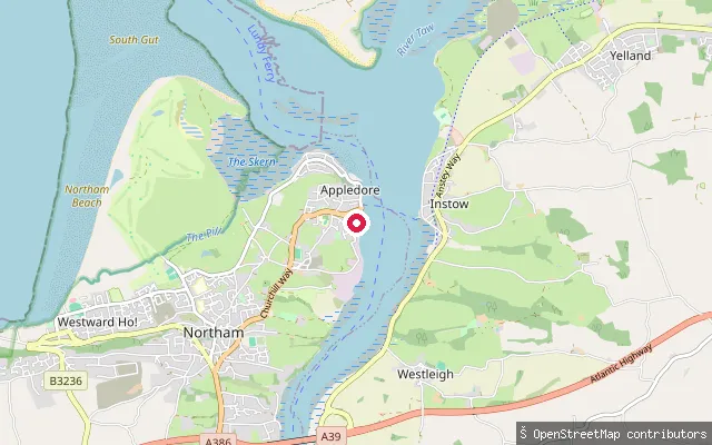
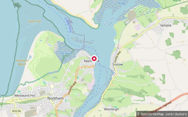
Devon, EnglandThis slipway on New Quay Street launches onto the Torridge estuary at Appledore, close to where the Torridge meets the Taw before Bideford Bay. Appledore's waterfront, developed around a quay built in 1845, is home to two pilot gig rowing clubs whose crews compete at the world championships in the Isles of Scilly.
 Sea
SeaAppledore Quay slipway
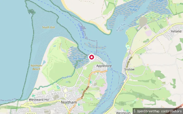
Devon, EnglandThis is the Appledore Quay slipway also mapped as a separate node 11 metres away; it launches onto the Torridge estuary and serves the seasonal foot ferry across to Instow. OpenStreetMap records a photograph of the slipway taken in 2021.
 Sea
SeaAppledore slipway, Irsha Street
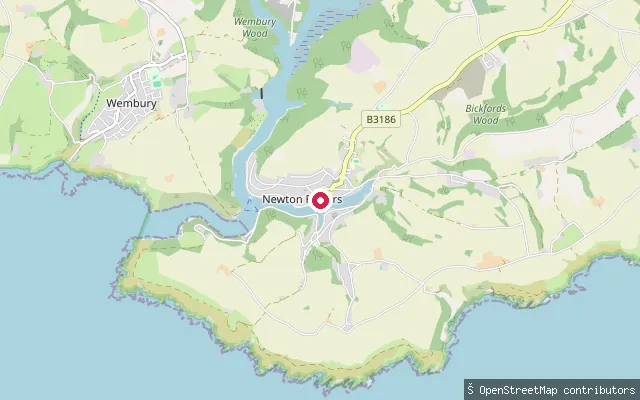
Devon, EnglandThis slipway on Irsha Street sits at the north-western tip of Appledore, where the Torridge and Taw estuaries combine before opening into Bideford Bay. OpenStreetMap marks it as a small craft landing, close to Appledore's lifeboat station.
 Sea
SeaNewton Ferrers slipway, Newton Creek
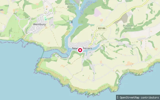
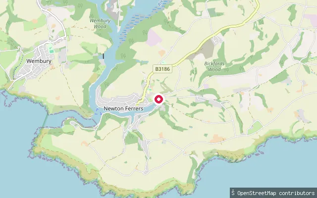
Devon, EnglandA slipway on Newton Creek at Newton Ferrers, close to the village waterfront on the tidal arm of the River Yealm. The River Yealm Harbour Authority's office sits nearby at Yealm Steps and licenses kayaks, canoes and paddleboards launched in the estuary.
 Sea
SeaNewton Creek slipway, Newton Ferrers
Devon, EnglandA slipway on the upper, western reach of Newton Creek near Newton Ferrers, the tidal arm of the River Yealm estuary. This part of the creek is shallower at low water, and the River Yealm Harbour Authority licenses kayaks, canoes and paddleboards launched anywhere on the estuary.
 Sea
SeaNewton and Noss put-in (South Hams)
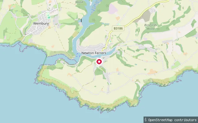
Devon, EnglandThis slipway launches onto Newton Creek, the arm of the River Yealm estuary that separates Newton Ferrers on its northern bank from Noss Mayo to the south, South Hams. At low tide two ancient man-made causeways, the Newton Voss and Noss Voss, cross the mud between the two villages.
 Sea
SeaNoss Mayo slipway, Newton Creek
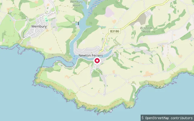
Devon, EnglandA slipway on Newton Creek at Noss Mayo, on the south bank of the tidal arm of the River Yealm opposite Newton Ferrers. Launching a kayak, canoe or paddleboard here requires a licence from the River Yealm Harbour Authority, and timing around the tide matters since parts of the creek dry out at low water.
 Sea
SeaNewton Ferrers slipway, Newton Creek
Devon, EnglandA slipway on Newton Creek, the tidal arm of the River Yealm estuary that separates Newton Ferrers from Noss Mayo in the South Hams. The River Yealm Harbour Authority requires a seasonal or day licence to launch a kayak, canoe or paddleboard here.
 Sea
SeaBatson Creek slipway
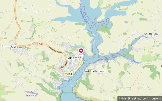
Devon, EnglandThis slipway launches onto Batson Creek, a tidal arm of the Kingsbridge Estuary just north-east of Salcombe town centre. It lies roughly 30 metres from another mapped slipway (Batson Slipway) and may record the same launch point.
Save your own spots
Keep the places you launch, check the wind and shelter before you go, and log every paddle. Add a spot to the directory too, and other paddlers will find it. Free to start.
Some launch spots in this directory are seeded from open data. © OpenStreetMap contributors · Open Database Licence (ODbL)