Paddleboarding spots in Devon
131 launch spots across Devon
Every mapped spot in Devon
Zoom in to split a cluster; open a pin for the spotMap of every spot in Devon
The interactive map opens on any device with JavaScript. The full list of launch spots is below.
Launch spots
Showing 24 of 131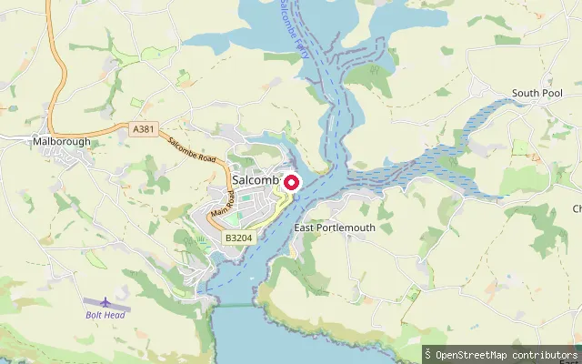 Sea
SeaSalcombe Lifeboat Station slipway
Devon, EnglandThis slipway serves Salcombe Lifeboat Station on the town's waterfront, launching onto the sheltered main channel of the Kingsbridge Estuary. It has a metal launch surface and is marked on nautical charts as a small-craft facility.
 Sea
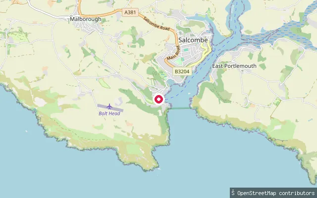
SeaSouth Sands slipway
Devon, EnglandThis slipway sits at South Sands, a Blue Flag beach near the mouth of the Kingsbridge Estuary on the western shore below Salcombe town. A ferry, including the amphibious 'Sea Tractor' at low tide, links South Sands to the town.
 Sea
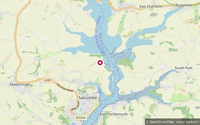
SeaKingsbridge Estuary slipway
Devon, EnglandThis slipway sits on the Kingsbridge Estuary about 2km north of Salcombe town, on the estuary's main channel between the Batson and Southpool side-creeks.
 Sea
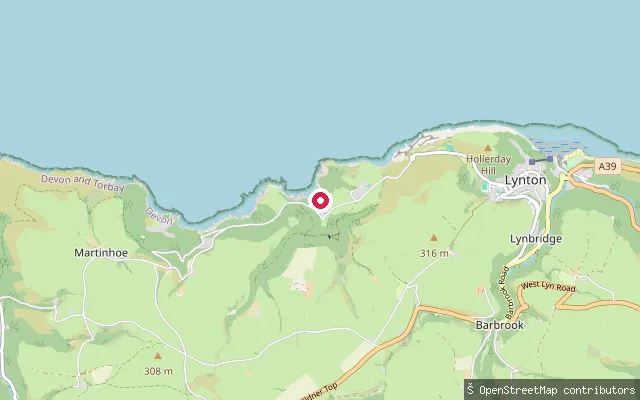
SeaWoody Bay slipway
Devon, EnglandWoody Bay is a wooded, cliff-backed cove on the Exmoor coast in Martinhoe parish, about three miles west of Lynton. The remains of a Victorian pier, built in 1897 for Bristol Channel pleasure steamers and wrecked by storms within three years, are still visible on the old quay within the site's tidal flood zone.
 Sea
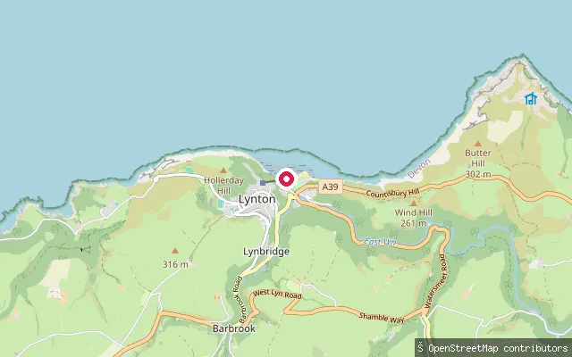
SeaLynmouth Harbour slipway
Devon, EnglandLynmouth's small harbour sits where the East and West Lyn rivers meet the Bristol Channel, in a gorge below Lynton. The original harbour and boat house were destroyed in the catastrophic flood of August 1952 and have since been rebuilt; the slipway on Riverside Road gives tidal access from the harbour into the channel.
 Sea
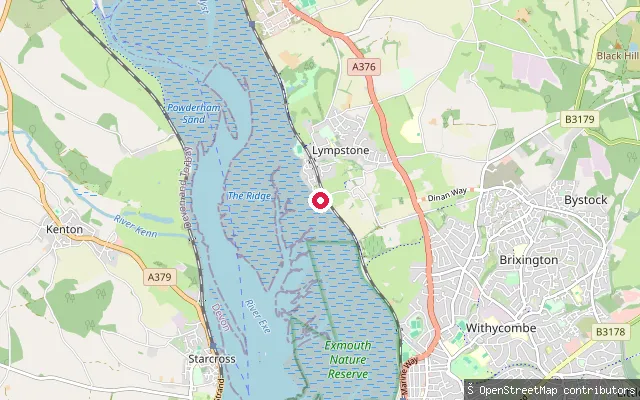
SeaLympstone put-in (East Devon)
Devon, EnglandThis slipway is on the Exe Estuary shore south of Lympstone village, on a section of the east bank close to the Commando Training Centre Royal Marines base. It connects to Sowden Lane and the coastal path running along the estuary.
 Sea
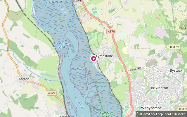
SeaLympstone put-in (East Devon)
Devon, EnglandThis concrete slipway is at Lympstone Harbour on the Exe Estuary, a small tidal harbour at the mouth of Wotton Brook, set between red breccia cliffs on the estuary's east shore. Lympstone Sailing Club, founded in 1947, operates from the harbour.
 Sea
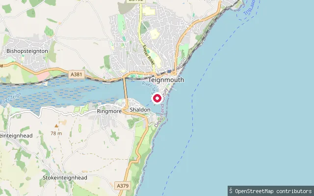
SeaLifeboat Lane
Devon, EnglandLifeboat Lane is a lit slipway and service road on Teignmouth's estuary-facing shore, close to the town's back beach. Nautical charts mark it as a small craft facility for launching onto the Teign Estuary.
 Sea
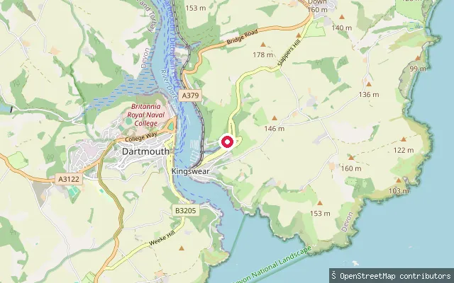
SeaHoodown Lane slipway, Kingswear
Devon, EnglandA slipway off Hoodown Lane on the River Dart estuary near Kingswear, in the stretch of moorings and boatyards between the village and Old Mill Creek.
 Sea
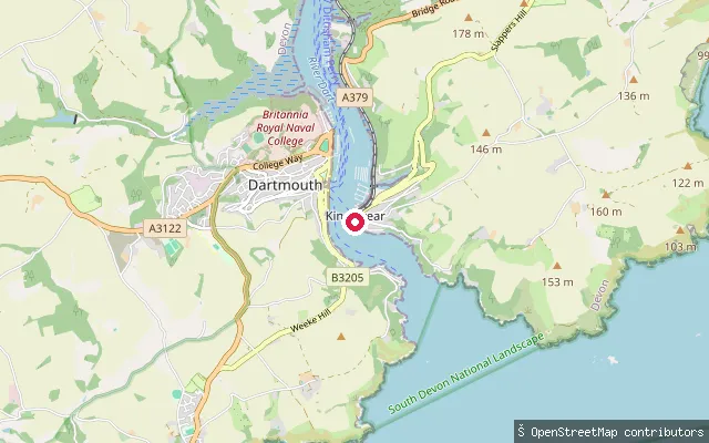
SeaKingswear slipway
Devon, EnglandA cobbled slipway in Kingswear village, on the east bank of the River Dart estuary near the harbour mouth opposite Dartmouth.
 Sea
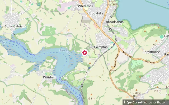
SeaDartside Quay
Devon, EnglandDartside Quay is a boatyard slipway on Galmpton Creek, a tidal tributary of the River Dart between Dittisham and Kingswear that was used historically to build Brixham fishing smacks and, during the Second World War, motor launches.
 Lake
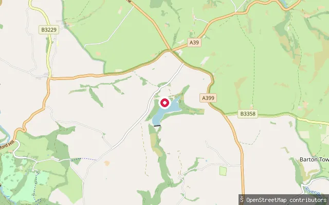
LakeWistlandpound Reservoir jetty
Devon, EnglandWistlandpound Reservoir is an 18-hectare South West Water reservoir on the edge of Exmoor National Park near Kentisbury and Blackmoor Gate, jointly managed by Forestry England and the South West Lakes Trust. The Calvert Trust Exmoor, whose activity centre sits beside the reservoir, holds exclusive access to the water for its own watersports programme.
 Sea
SeaInstow slipway (Marine Parade)
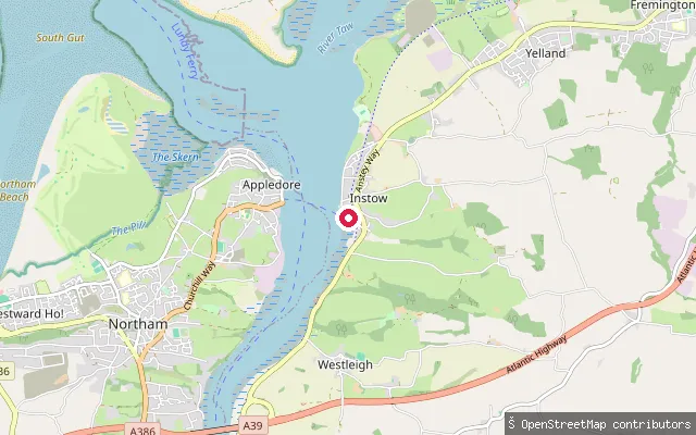
Devon, EnglandThis slipway launches onto the Taw-Torridge estuary at Instow, where the two rivers meet before reaching Bideford Bay. Sandbanks at the estuary mouth cut most of the ocean swell, and the sheltered water is used for windsurfing, kitesurfing, canoeing and kayaking. A seasonal foot ferry to Appledore runs from Instow Quay, timed to two hours either side of high tide.
 Sea
SeaInstow slipway
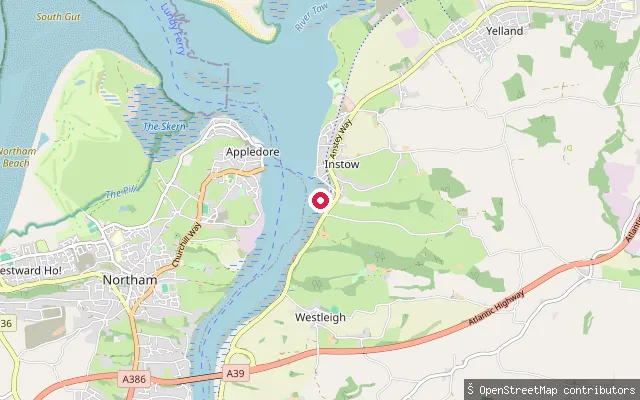
Devon, EnglandThis second slipway sits about 200 metres south of Instow's Marine Parade slipway, on the same stretch of Taw-Torridge estuary shoreline. The estuary here is sheltered by sandbanks at its mouth, and North Devon Yacht Club is based in the village.
 Lake
LakeTrago Mills lake slipway, Bickington
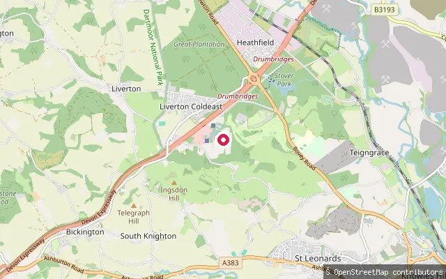
Devon, EnglandThis slipway is mapped beside one of the ornamental lakes on the Trago Mills retail and leisure site at Bickington, near Newton Abbot, where the miniature Bickington Steam Railway loops around three small lakes. Trago's family fun park, which included these lakes, closed at the end of 2025, leaving only the miniature railway running, so public paddling access here is doubtful.
 Sea
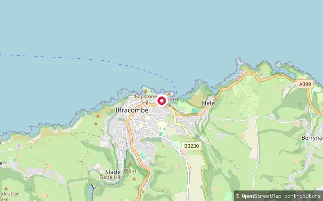
SeaIlfracombe Watersports Hub slipway
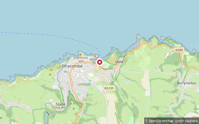
Devon, EnglandThis slipway sits in Larkstone Cove on Ilfracombe's eastern edge, at the Ilfracombe Watersports Hub. It is a free public slipway for non-powered craft and is home to Ilfracombe Pilot Gig Club, the Y-Sail sailing charity and Ilfracombe Canoe Club; there is no vehicle access or on-site parking, with the nearest car parks on Larkstone Lane and at Hillsborough.
 Sea
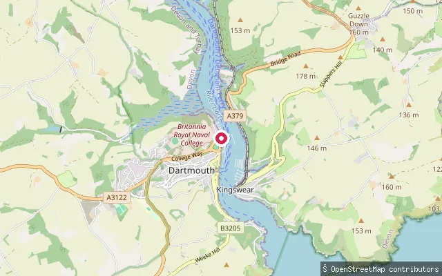
SeaIlfracombe public slipway
Devon, EnglandThis concrete slipway sits in Larkstone Cove near Hele, on Ilfracombe's eastern edge. It is operated by North Devon Council and is lit, with launching fees payable at the harbour office on the pier before use.
 Sea
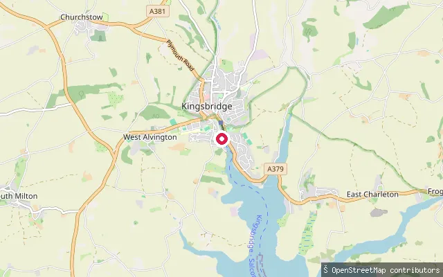
SeaHigher Ferry public slipway
Devon, EnglandA public slipway at the Higher Ferry crossing on the River Dart between Dartmouth and Kingswear. OpenStreetMap notes that harbour dues are payable to the Dart Harbour and Navigation Authority for its use, and it stands about 8.5 metres from the ferry's own private slip.
 Sea
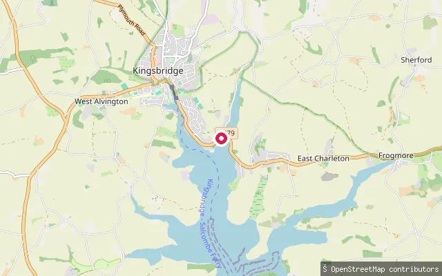
SeaKingsbridge Estuary slipway
Devon, EnglandThis slipway launches onto the Kingsbridge Estuary just south of Kingsbridge town, at the tidal upper end of the ria.
 Sea
SeaKingsbridge Estuary slipway
Devon, EnglandThis slipway launches onto the Kingsbridge Estuary a little over a kilometre from Kingsbridge town, on the tidal upper reaches of the ria.
 Sea
SeaHeanton Punchardon put-in (North Devon)
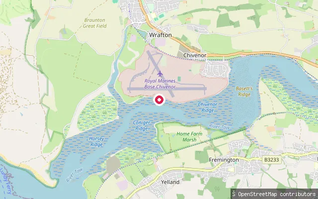
Devon, EnglandThis slipway sits on the north bank of the Taw estuary near Chivenor, about a mile from Heanton Punchardon village. RSPB Isley Marsh, a saltmarsh and mudflat reserve important for wintering curlew, greenshank and dunlin, lies across the water. The coordinate sits close to the perimeter of Royal Marines Base Chivenor, so public access to this exact spot has not been confirmed.
 Sea
SeaCroyde Bay slipway (south)
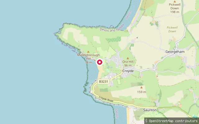
Devon, EnglandCroyde Bay is a west-facing, sandy Bristol Channel bay in North Devon, with dunes behind the beach and Baggy Point, owned by the National Trust, forming its northern headland. This slipway gives pedestrian access from Beach Road, and is waymarked as public footpath Georgeham Footpath 32.
 Sea
SeaCroyde Bay slipway (north)
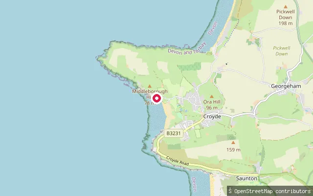
Devon, EnglandCroyde Bay is a west-facing, sandy Bristol Channel bay in North Devon, with dunes behind the beach and Baggy Point, owned by the National Trust, forming its northern headland. This slipway sits on Beach Road, around 270 m north of another mapped slipway on the same beach frontage.
 Sea
SeaGales Hill
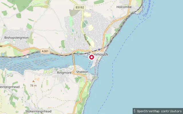
Devon, EnglandGales Hill is a named slipway off Quay Road in Teignmouth, on the town's estuary quay opposite Shaldon. Teignmouth's quays have handled shipping since the 13th century, with the Old Quay dating from the mid-18th century.
Save your own spots
Keep the places you launch, check the wind and shelter before you go, and log every paddle. Add a spot to the directory too, and other paddlers will find it. Free to start.
Some launch spots in this directory are seeded from open data. © OpenStreetMap contributors · Open Database Licence (ODbL)