Paddleboarding spots in Greater London
66 launch spots across Greater London
Every mapped spot in Greater London
Zoom in to split a cluster; open a pin for the spotMap of every spot in Greater London
The interactive map opens on any device with JavaScript. The full list of launch spots is below.
Launch spots
Showing 24 of 66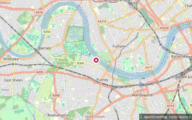 River
RiverPutney Embankment (boat club slipway)
Greater London, EnglandThis is the cobbled boat-launch area at Putney Embankment on the tidal Thames, sitting 20 metres from the embankment's named slipway node and almost certainly the same physical launch used by the rowing clubs along this stretch. It is a pedestrian zone paved in unhewn cobblestone, tidal like the rest of the embankment.
 River
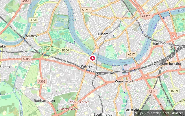
RiverBrewhouse Lane slipway, Putney
Greater London, EnglandA stone-sett slipway on the tidal Thames at the foot of Brewhouse Lane in Putney, just upstream of Putney Bridge. It is tagged as a dedicated service slipway rather than a shared pedestrian embankment.
 River
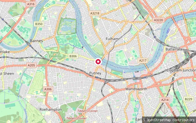
RiverPutney Public Slipway
Greater London, EnglandPutney Public Slipway is a named, purpose-built launch point on the tidal Thames close to Putney Bridge, distinct from the boat-club slipways further along Putney Embankment. It is tagged as a dedicated slipway service road rather than a shared pedestrian area.
 River
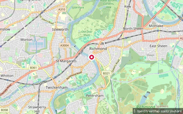
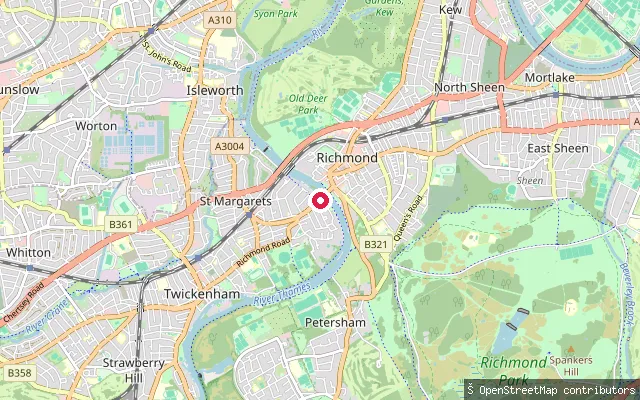
RiverPetersham put-in (Greater London)
Greater London, EnglandThis paved slipway launches onto the River Thames at Petersham, part of a small cluster of near-duplicate launch points recorded within about 90 metres of each other in OpenStreetMap. The reach sits within the Environment Agency's short tidal-registration stretch between Teddington Lock and the Port of London Authority's boundary.
 River
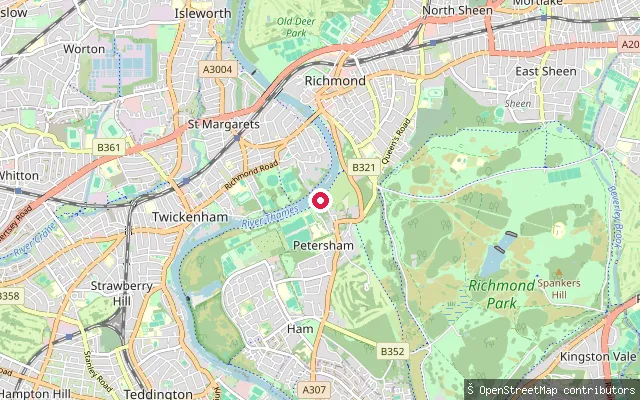
RiverPetersham put-in (Greater London)
Greater London, EnglandThis slipway sits on the River Thames at Petersham on the Richmond upon Thames riverside, close to the East Twickenham bank on the opposite side of the river. It is tagged as a no-exit access point in OpenStreetMap.
 River
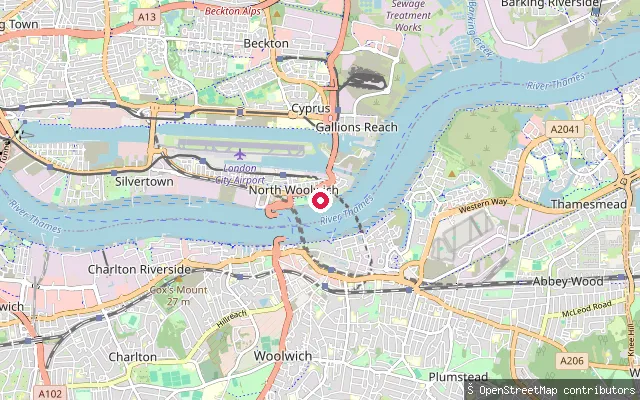
RiverPetersham put-in (Greater London)
Greater London, EnglandThis slipway launches onto the River Thames at Petersham, near Richmond, where Richmond Canoe Club operates from the nearby Petersham Road boathouse. The stretch lies within the Teddington-to-PLA tidal section where Environment Agency registration or equivalent British Canoeing membership applies.
 River
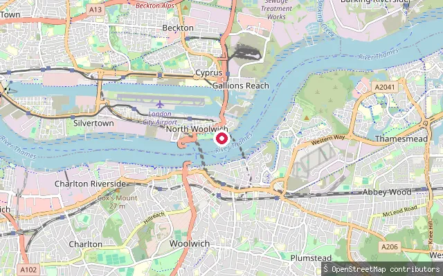
RiverNorth Woolwich put-in (Greater London)
Greater London, EnglandThis slipway gives foreshore access to the River Thames at North Woolwich, next to Royal Victoria Gardens, a riverside park laid out in 1890 close to the Woolwich Ferry crossing. The tidal Thames here is governed by Port of London Authority byelaws and a joint PLA and Paddle UK code of practice for paddlers.
 Sea
SeaBargehouse Causeway
Greater London, EnglandBargehouse Causeway, recorded by the Port of London Authority as the Old Barge House Drawdock, is a stone causeway reaching out over the Thames foreshore in North Woolwich, on a river bend once used for a ferry crossing first recorded in 1308. The Crown Estate has gated the ramp off following deterioration of its surface, and Newham Council, the Crown Estate and the Port of London Authority have not agreed who is responsible for repairing it.
 Canal
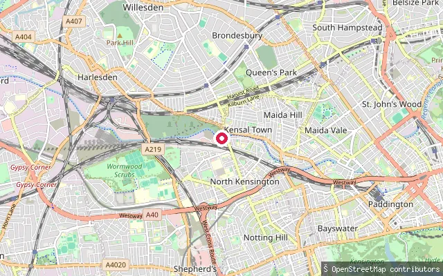
CanalNorth Kensington put-in (Greater London)
Greater London, EnglandThis slipway sits on the Paddington Arm of the Grand Union Canal in North Kensington, a lock-free stretch of towpath-lined canal that runs from Little Venice out towards west London past Kensal Green. The Canal and River Trust, which owns and maintains the waterway, requires paddlers to hold a waterways licence to launch here.
 River
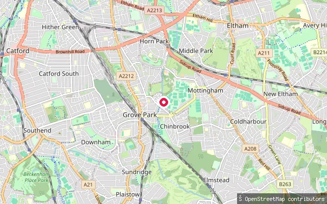
RiverMottingham put-in (Greater London)
Greater London, EnglandThis point sits on the River Quaggy, a small tributary of the River Ravensbourne that runs through Mottingham on its way to Sutcliffe Park and Lewisham. The OSM edit history ties the marker to a Capital Ring and Green Chain path correction rather than a boating feature, and no source describes canoeing, kayaking or paddleboarding on this stretch.
 River
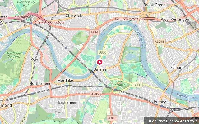
RiverDuke's Meadows slipway
Greater London, EnglandThis is an unnamed slipway on the north bank of the tidal River Thames at Duke's Meadows, the riverside park in Chiswick between Barnes Bridge and Chiswick Bridge. This reach forms part of the Championship Course rowed in the Oxford-Cambridge Boat Race, which finishes nearby at Mortlake.
 River
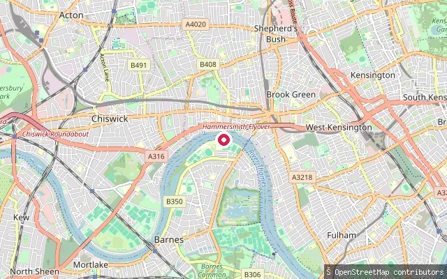
RiverHammersmith Terrace slipway
Greater London, EnglandThis is an unnamed slipway on the north bank of the tidal River Thames near Hammersmith Terrace, between Hammersmith Bridge and Chiswick Mall. The reach falls within Port of London Authority jurisdiction over the tidal Thames.
 River
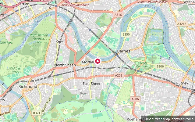
RiverDuke's Meadows Drawdock
Greater London, EnglandThis drawdock sits on the north bank of the tidal River Thames within Duke's Meadows, the riverside park in Chiswick, close to where the Boat Race Championship Course finishes at Chiswick Bridge.
 River
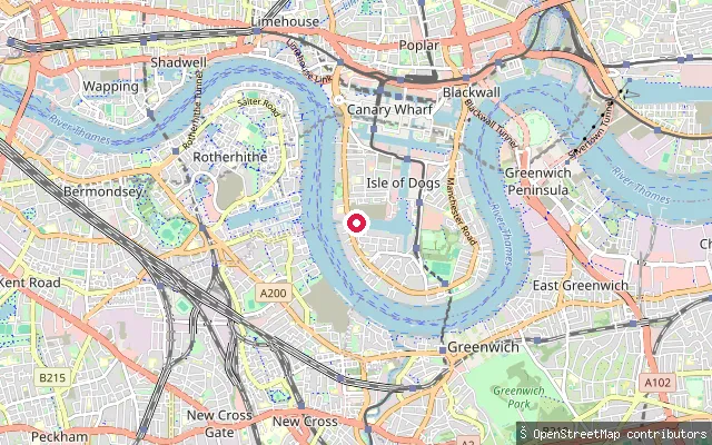
RiverMillwall Slipway
Greater London, EnglandMillwall Slipway occupies the former entrance lock of Millwall Dock on the west side of the Isle of Dogs, once the widest lock in London and now infilled bar the slipway itself, with a preserved hydraulic capstan on show. It is the traditional start point for the Great River Race, when several hundred small boats launch here to head down the tidal Thames.
 River
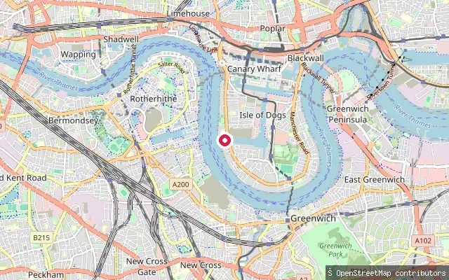
RiverMillwall put-in (Greater London)
Greater London, EnglandThis slipway in Millwall, on the west side of the Isle of Dogs, gives access to the tidal River Thames a short distance west of the historic Millwall Slipway.
 Lake
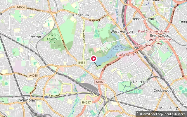
LakeKingsbury put-in (Greater London)
Greater London, EnglandThis launch is on the western, dam end of Brent Reservoir, known locally as the Welsh Harp, a 68-hectare reservoir on the Kingsbury and Neasden boundary in north-west London built in the 1830s. The reservoir is a biological Site of Special Scientific Interest and its western shore, at Birchen Grove, is home to the Welsh Harp Sailing Association's clubhouse.
 Sea
SeaErith Yacht Club Slipway
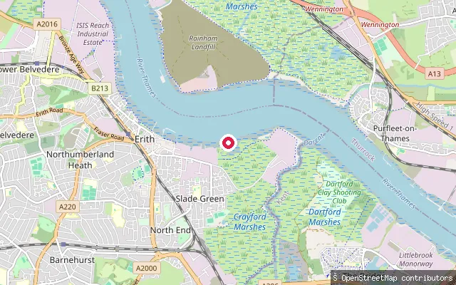
Greater London, EnglandErith Yacht Club's slipway launches boats onto Erith Rands, a wide reach of the tidal Thames east of Erith, across the full tidal range using club tractors and a static winch. Access is restricted to club customers, and the clubhouse and a second slipway apron sit within about 50 metres (node/12135485400, way/1386281476).
 River
RiverHammersmith Drawdock
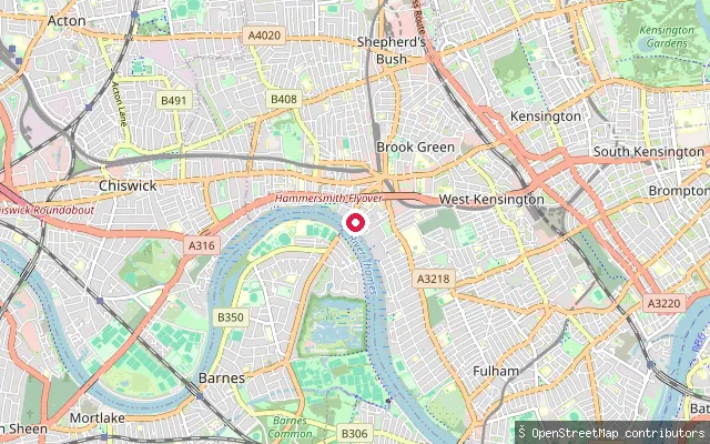
Greater London, EnglandHammersmith Drawdock is a slipway on the tidal River Thames at Hammersmith, reached through a barrier gate off Queen Caroline Street. The reach falls within Port of London Authority jurisdiction over the tidal Thames.
 River
RiverTeddington Lock Boat Rollers
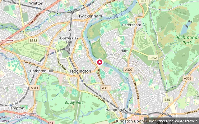
Greater London, EnglandThese roller slipways let paddlers and rowers portage small craft around Teddington Lock, the complex of three locks and a weir that forms the usual tidal limit of the River Thames, rather than waiting to pass through a lock chamber. The rollers sit on a concrete islet within the lock complex, between Ham and Teddington.
 River
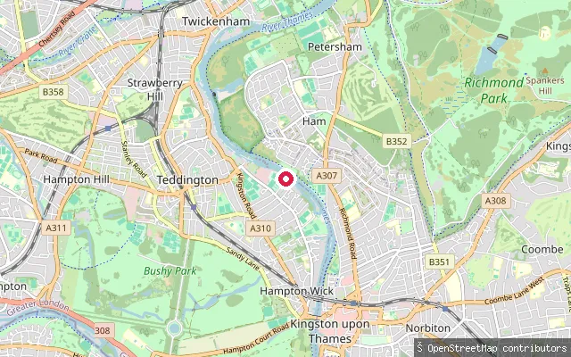
RiverHam put-in (Greater London)
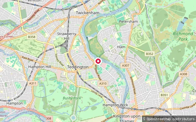
Greater London, EnglandThis slipway sits on the Thames towpath at Ham, close to the Teddington Lock complex where the Environment Agency's non-tidal Thames meets the tidal reach governed by the Port of London Authority. The coordinate is within the lock precinct itself, so it isn't possible to say from the position alone which side of the tidal boundary the slipway falls on.
 River
RiverHam put-in (Greater London)
Greater London, EnglandThis slipway on the River Thames at Ham sits within the grounds of The Lensbury, a hotel and private members' club whose own watersports centre offers kayaks, canoes and paddleboards from the riverbank. The stretch lies close to Teddington Lock, the boundary between the Environment Agency's non-tidal Thames and the tidal reach the Port of London Authority governs downstream.
 River
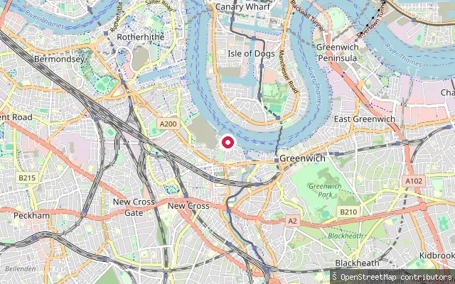
RiverThe Ahoy Centre slipway
Greater London, EnglandThis slipway serves The Ahoy Centre, a watersports charity on Borthwick Street in Deptford (postcode SE8) that runs sailing, rowing and powerboating courses, including Sailability and Shipmates programmes for disadvantaged and disabled young people. It launches onto the tidal River Thames.
 River
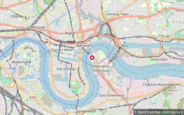
RiverGreenwich Peninsula put-in (Greater London)
Greater London, EnglandThis drawdock on Drawdock Road, on the west side of Greenwich Peninsula, gives access to the tidal River Thames near the site of the former Ordnance Wharf gasworks. The drawdock itself dates to the 1880s, when the local gas company built it as compensation for the loss of watermen's rights along that stretch of frontage.
 Sea
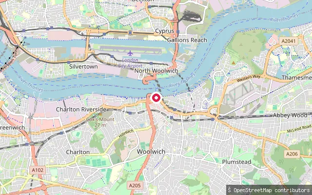
SeaRoyal Arsenal Riverside slipway, Woolwich
Greater London, EnglandThis slipway sits on the River Thames foreshore at Royal Arsenal Riverside in Woolwich, close to Bell Water Gate on the site of the former Woolwich Arsenal. It lies on a fully tidal stretch of the river below the Thames Barrier, and the Port of London Authority asks paddlers to notify London Vessel Traffic Services before launching.
Save your own spots
Keep the places you launch, check the wind and shelter before you go, and log every paddle. Add a spot to the directory too, and other paddlers will find it. Free to start.
Some launch spots in this directory are seeded from open data. © OpenStreetMap contributors · Open Database Licence (ODbL)