Paddleboarding spots in Greater London
66 launch spots across Greater London
Every mapped spot in Greater London
Zoom in to split a cluster; open a pin for the spotMap of every spot in Greater London
The interactive map opens on any device with JavaScript. The full list of launch spots is below.
Launch spots
Showing 18 of 66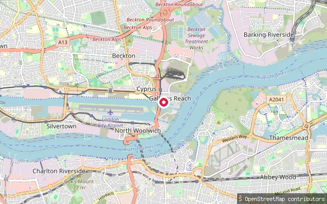 Sea
SeaGallions Reach put-in (Greater London)
Greater London, EnglandThis marked slipway sits on Gallions Reach, a tidal stretch of the River Thames off Basin Approach between Woolwich and Barking. The river here is fully tidal with strong streams over mudflats, and the Port of London Authority asks paddlers to notify London Vessel Traffic Services before setting out, especially after dark.
 River
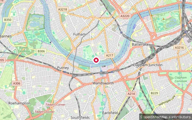
RiverFulham slipway
Greater London, EnglandA slipway on the tidal Thames at Fulham, on the north bank downstream of Putney Bridge. No further detail beyond the coordinate and its tagging as a boat launch point was found.
 Open water
Custom House put-in (Greater London)
Greater London, EnglandThis launch is on Royal Albert Dock, one of the three Royal Docks in Newham, close to Custom House, a former Port of London Authority dock that is now enclosed, non-tidal water rather than open river. The dock's water is owned by the Greater London Authority and managed under a lease by the Royal Docks Management Authority, and its access points can be closed off in poor conditions.
 River
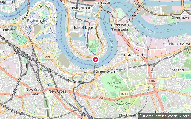
RiverJohnson's Drawdock
Greater London, EnglandJohnson's Drawdock is a historic launch point on Ferry Street in Cubitt Town on the Isle of Dogs, taking its name from Henry and Augustus Johnson, who ran an ironworks here in the 1840s. During the Second World War, when bomb damage closed the Greenwich Foot Tunnel, a temporary timber-and-barge ferry pier ran from this drawdock across the tidal Thames to Greenwich.
 River
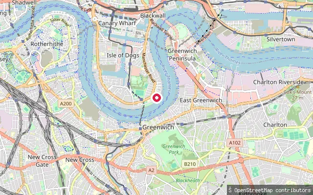
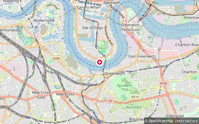
RiverCubitt Town put-in (Greater London)
Greater London, EnglandThis slipway on Grosvenor Wharf Road in Cubitt Town, on the east side of the Isle of Dogs, launches onto the tidal River Thames. OSM records a gravel launch surface.
 River
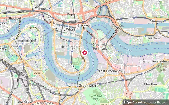
RiverCubitt Town put-in (Greater London)
Greater London, EnglandThis slipway on Ferry Street in Cubitt Town gives access to the tidal River Thames near the southern tip of the Isle of Dogs, close to Island Gardens and the Greenwich Foot Tunnel crossing.
 River
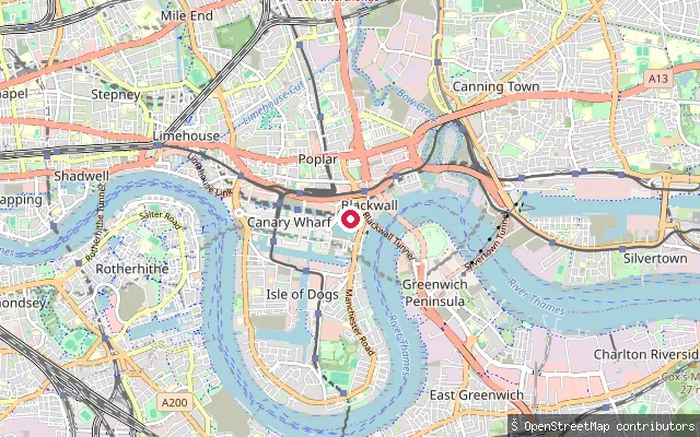
RiverCubitt Town put-in (Greater London)
Greater London, EnglandThis slipway is on Amsterdam Road in Cubitt Town, on the east side of the Isle of Dogs, and gives access to the tidal River Thames opposite Greenwich. The Port of London Authority regulates navigation on this reach.
 River
RiverBlackwall slipway
Greater London, EnglandThis slipway sits on the tidal River Thames at Blackwall on the Isle of Dogs peninsula's north side, near Boardwalk Place and the old Blackwall Basin entrance. The Port of London Authority regulates navigation on this stretch of the tidal Thames.
 Lake
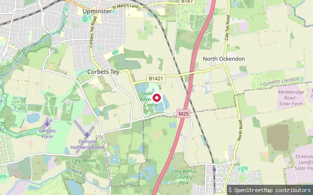
LakeCorbets Tey put-in (Greater London)
Greater London, EnglandThis point lies about 23 metres from another entry with the same name (node/7975231048), beside the same unnamed stretch of standing water off Dennises Lane at Corbets Tey, near Upminster. The exact pond could not be confirmed among the several private angling lakes in the area, and no source describes paddling access.
 River
RiverDuke's Meadows slipway
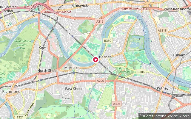
Greater London, EnglandThis is a paved slipway on the north bank of the tidal River Thames within Duke's Meadows, the riverside park in Chiswick, laid with paving-stone surfacing rather than a ramp of concrete or shingle.
 River
RiverDuke's Meadows slipway
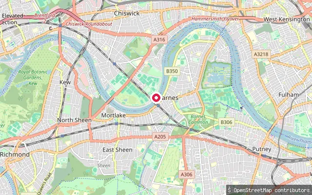
Greater London, EnglandThis is an unnamed slipway on the north bank of the tidal River Thames within Duke's Meadows, the riverside park in Chiswick between Barnes Bridge and Chiswick Bridge, used by several rowing and boat clubs based in the park.
 River
RiverChiswick Mall Public Drawdock
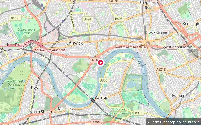
Greater London, EnglandChiswick Mall Public Drawdock is a public slipway on the north bank of the tidal River Thames on Chiswick Mall, operated by Hounslow Council. Chiswick Mall itself still floods at high water during spring tides, reflecting the low-lying riverside setting. The reach falls within Port of London Authority jurisdiction over the tidal Thames.
 River
RiverGreenwich Yacht Club slipway
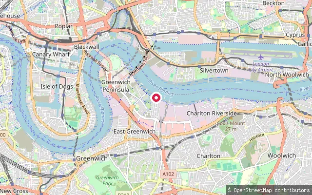
Greater London, EnglandThis slipway serves Greenwich Yacht Club at Peartree Wharf on the east side of Greenwich Peninsula, a member-run club founded by Thames watermen in 1908 that moved to its current clubhouse, built on a dolphin in the tidal Thames, in 1999. It offers dinghy and cruiser sailing plus rowing.
 Lake
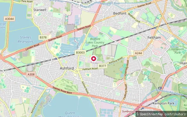
LakeBedfont put-in (Greater London)
Greater London, EnglandThis slipway sits on one of the lakes at Bedfont Lakes, a former gravel pit restored as a country park and business park in the London Borough of Hounslow. OpenStreetMap marks the launch itself as private, and the adjoining lake runs a day-ticket coarse fishery.
 River
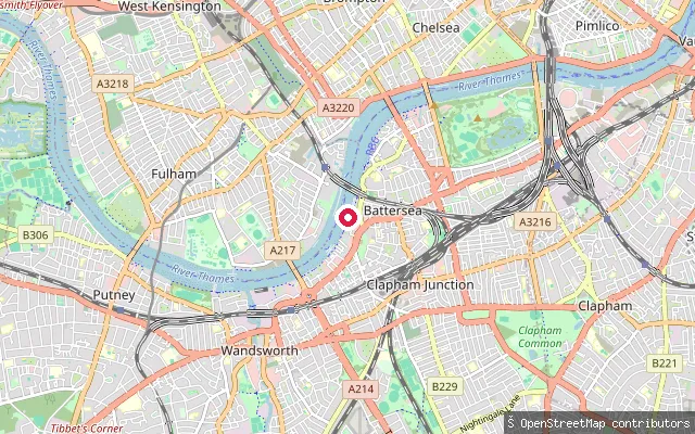
RiverBattersea Reach slipway
Greater London, EnglandA slipway on the tidal Thames at Battersea Reach, on the south bank between Wandsworth Bridge and Battersea Railway Bridge, immediately next to London Heliport. The reach is used by river traffic serving the heliport jetty as well as leisure craft.
 River
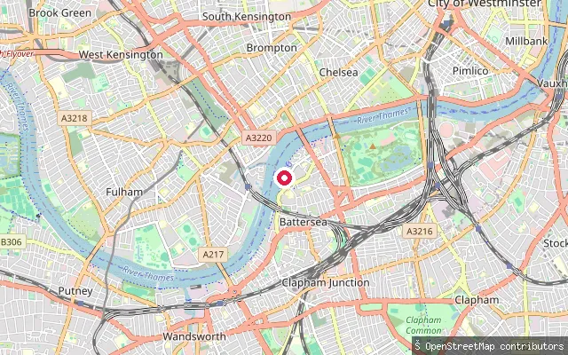
RiverBattersea slipway, Vicarage Walk
Greater London, EnglandA service road leading to a slipway on the tidal Thames off Vicarage Walk in Battersea, near St Mary's Church on Battersea Church Road.
 River
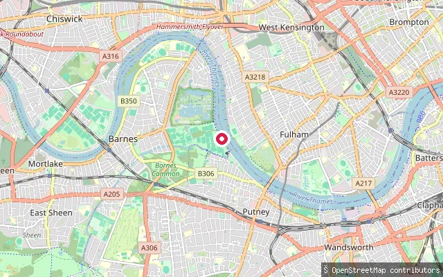
RiverBarnes slipway
Greater London, EnglandA slipway on the tidal River Thames towpath at Barnes, on the south bank between Barnes Bridge and Small Profits Dock. Local SUP operators use this stretch of riverside as a meeting point for group sessions, launching onto a tidal reach that runs upstream towards Chiswick and Kew.
 River
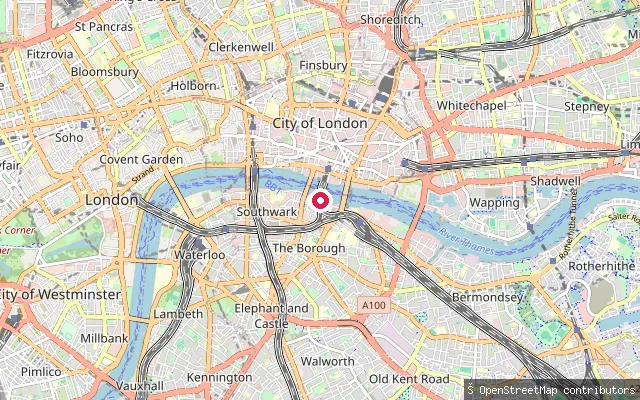
RiverBankside put-in (Greater London)
Greater London, EnglandThis launch is on the River Thames at Bankside in Southwark, on the south bank between Blackfriars and Southwark bridges near Tate Modern and the Globe. The tidal Thames through central London is managed by the Port of London Authority, whose byelaws and joint code of practice with Paddle UK apply to paddlers here.
Save your own spots
Keep the places you launch, check the wind and shelter before you go, and log every paddle. Add a spot to the directory too, and other paddlers will find it. Free to start.
Some launch spots in this directory are seeded from open data. © OpenStreetMap contributors · Open Database Licence (ODbL)