Paddleboarding spots in Isle of Wight
80 launch spots across Isle of Wight
Every mapped spot in Isle of Wight
Zoom in to split a cluster; open a pin for the spotMap of every spot in Isle of Wight
The interactive map opens on any device with JavaScript. The full list of launch spots is below.
Launch spots
Showing 24 of 80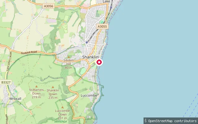 Sea
SeaPalestine Slipway
Isle of Wight, EnglandPalestine Slipway sits at a small roundabout at the southern tip of Shanklin's esplanade on Sandown Bay, with a cafe by the launch selling ice cream and takeaway food.
 Sea
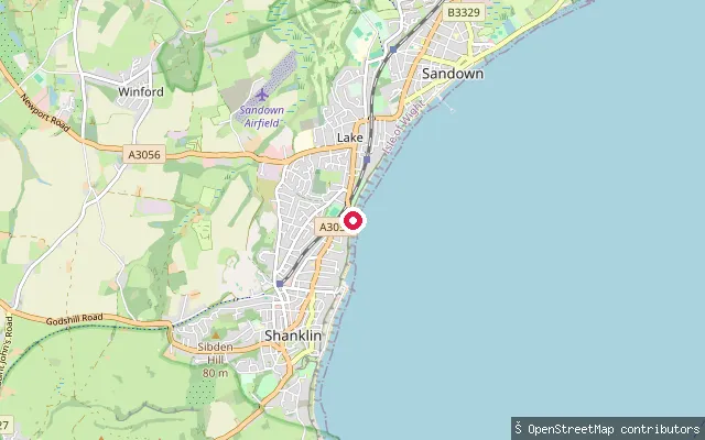
SeaShanklin put-in
Isle of Wight, EnglandThis slipway sits on a sea-wall revetment at the northern end of Shanklin's esplanade on Sandown Bay, close to Shanklin Sailing Club, which has raced small catamarans from Hope Road since 1931.
 Sea
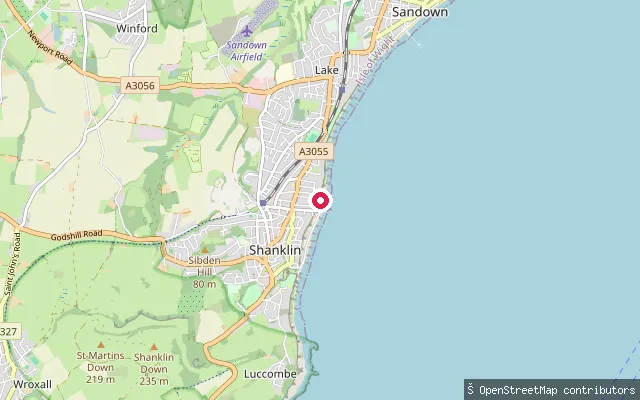
SeaShanklin put-in
Isle of Wight, EnglandA slipway on Shanklin's esplanade on Sandown Bay, roughly midway between the town centre and Shanklin Chine at the southern end of the beach.
 Sea
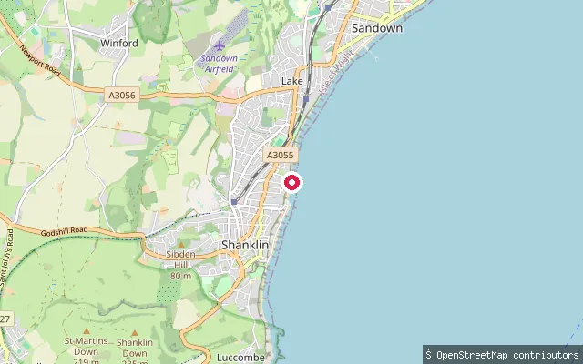
SeaShanklin put-in
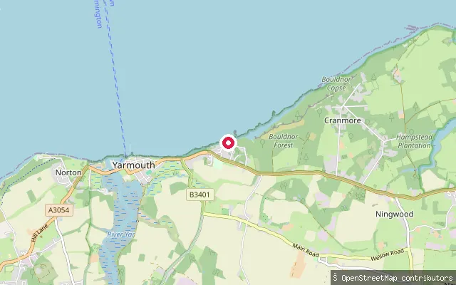
Isle of Wight, EnglandA slipway on Shanklin's esplanade above Hope Beach, part of the sand and shingle shoreline that Sandown Bay carries from Luccombe to Culver on the Isle of Wight's south-east coast.
 Sea
SeaShalfleet put-in
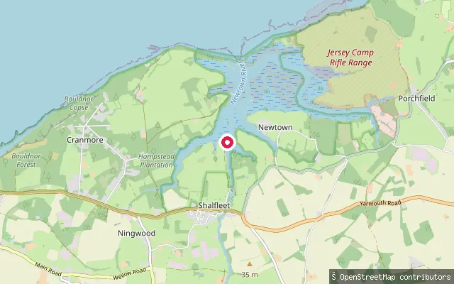
Isle of Wight, EnglandThis slipway is at Shalfleet Quay, on Shalfleet Lake, one of the tidal arms of Newtown River within Newtown National Nature Reserve. The seventeenth-century quay dries at low water and carries several feet of water at high tide, and there is no public car park at the quay itself.
 Sea
SeaNewtown River put-in, Western Haven
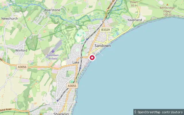
Isle of Wight, EnglandThis slipway sits on Western Haven, one of the tidal creeks that make up Newtown River, close to Newtown village rather than Shalfleet Manor Farm or Newbridge, both of which lie some distance inland. It falls within Newtown National Nature Reserve, where the National Trust asks paddlers to use marked launch points and avoid disturbing nesting birds on the saltmarsh.
 Sea
SeaSandown put-in
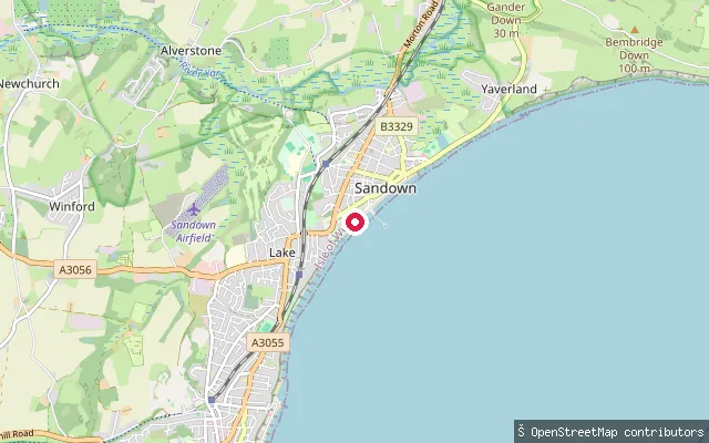
Isle of Wight, EnglandA slipway on Sandown's esplanade on Sandown Bay, reached from Culver Parade or Pier Street. Ryde Beach Lifeguards patrol this beach on summer weekends, and the Isle of Wight Council runs a seasonal buoyed zoning scheme here to keep bathers and watersports craft apart.
 Sea
SeaSandown put-in
Isle of Wight, EnglandA second slipway on Sandown's esplanade on Sandown Bay, close to Sandown Pier and the town's Culver Parade seafront.
 Sea
SeaYaverland put-in
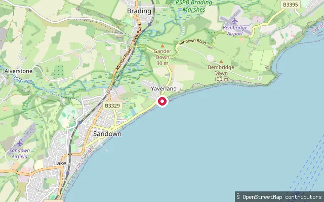
Isle of Wight, EnglandThis slipway sits at Yaverland, at the northern end of Sandown Bay near the Isle of Wight Zoo. Yaverland's beach is popular with watersports users and known for dinosaur fossils exposed at low tide, and the bay's reefs and seabed here are designated a Special Area of Conservation.
 Sea
SeaRyde put-in
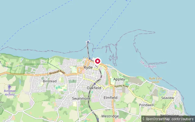
Isle of Wight, EnglandThis second slipway also serves the Appley Beach frontage on the Solent, a short distance from the first. The sandy beach gives views of shipping in the Solent's main channel and sits close to Appley Park and its picnic area.
 Sea
SeaRyde put-in
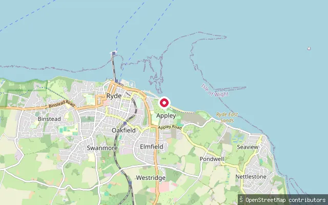
Isle of Wight, EnglandThis slipway is at Springvale, on the Solent shore between Puckpool Park and Seaview, well east of Ryde town itself. The shingle-and-sand beach looks out across the Solent to Portsmouth and the Spinnaker Tower, and The Boathouse pub sits at the Puckpool end.
 Sea
SeaRyde put-in
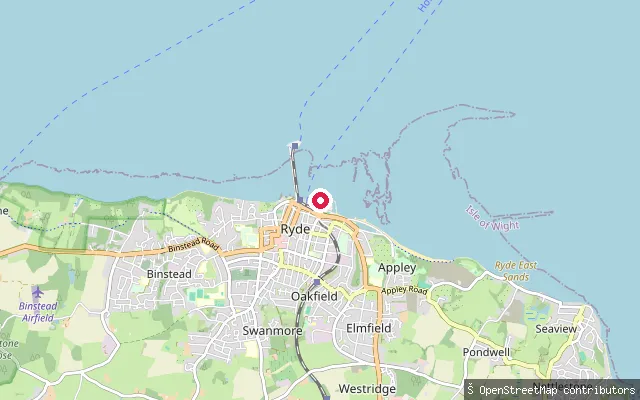
Isle of Wight, EnglandThis slipway serves Appley Beach, a sandy beach roughly a 20-minute walk east of Ryde town centre, facing the Solent's shipping lanes. The beach has cafes, toilets, parking and a picnic area at Appley Park, with an ornamental canoe lake nearby but separate from the open-water launch.
 Sea
SeaRyde put-in
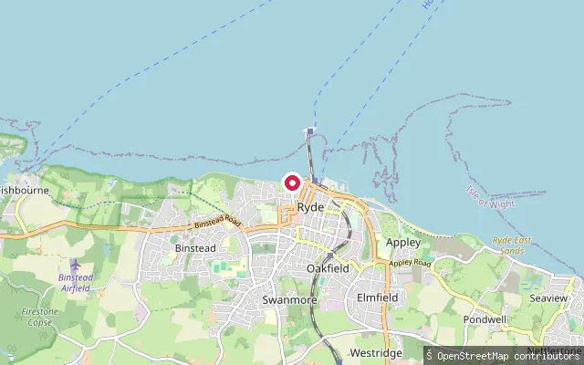
Isle of Wight, EnglandThis slipway is on Ryde's Esplanade seafront, on the Solent facing Portsmouth and Spithead. Paddleboard and kayak hire operates from the beach by Ryde Marina nearby, with hours that depend on tide and weather.
 Sea
SeaPrivate Slipway
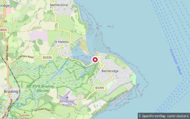
Isle of Wight, EnglandThis is a private slipway on Red Wing Quay, on the western shore of Bembridge Harbour, the tidal harbour between Bembridge and St Helens at the Isle of Wight's eastern tip.
 Sea
SeaCastlehaven (Reeth Bay) slipway
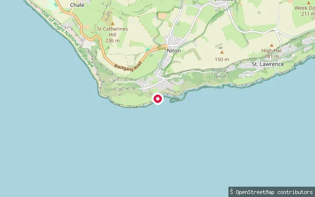
Isle of Wight, EnglandReeth Bay, known locally as Castlehaven, is a small cove on the Isle of Wight's southern tip east of St Catherine's Point, reached on foot from the hamlet of Castlehaven near Niton. A concrete ramp gives access for small craft, but the sandy part of the beach is exposed only at low tide.
 Sea
SeaNewport Quay slipway (Little London)
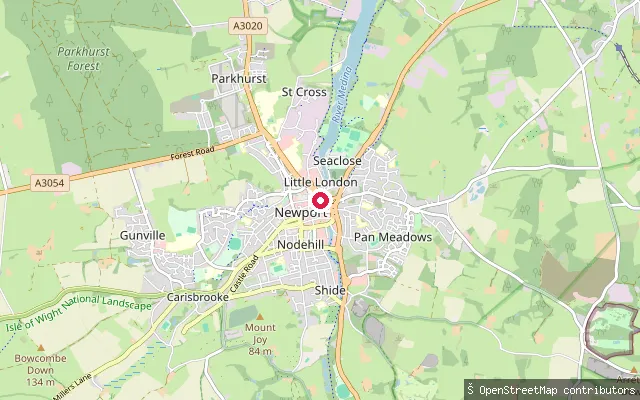
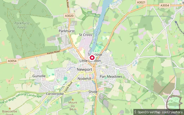
Isle of Wight, EnglandThis slipway is on the River Medina at Little London, by Newport's town quay, at the tidal head of the Medina Estuary. The upper harbour dries out to soft mud for several hours either side of low water, with a mean tidal range from about 4.2 m at spring high water to 0.8 m at spring low water.
 Sea
SeaNewport Quay slipway (Little London)
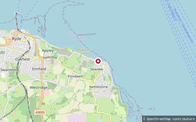
Isle of Wight, EnglandThis slipway is on the River Medina at Little London, by Newport's town quay, at the tidal head of the Medina Estuary. The upper harbour dries out to soft mud for several hours either side of low water, with a mean tidal range from about 4.2 m at spring high water to 0.8 m at spring low water.
 Sea
SeaNettlestone and Seaview put-in (Pondwell)
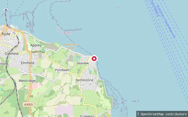
Isle of Wight, EnglandThis slipway is on the Solent shore at Pondwell, a coastal hamlet between Ryde and Seaview on the island's north-east coast. The shore here looks out across the Solent towards Portsmouth, with Springvale Beach around half a mile to the north-west.
 Sea
SeaSeaview put-in (High Street)
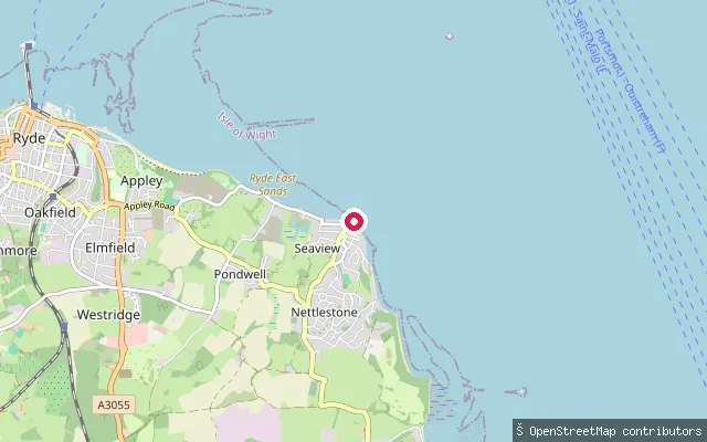
Isle of Wight, EnglandThis access point on High Street in Seaview gives onto the open Solent shore on the Isle of Wight's north-east coast, close to Seaview's village centre and its historic Pier Road slipway.
 Sea
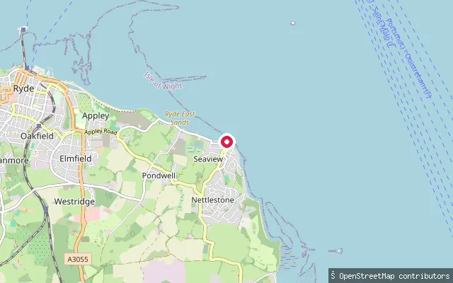
SeaNettlestone and Seaview put-in (Pondwell)
Isle of Wight, EnglandThis slipway is on the Pondwell shoreline of the Solent, close to another harvested slipway at the same stretch of coast, between Ryde and Seaview.
 Sea
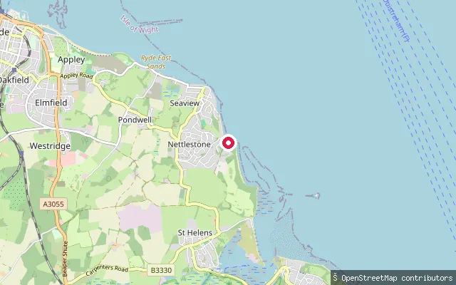
SeaNettlestone and Seaview put-in (Pondwell)
Isle of Wight, EnglandThis slipway sits on the Pondwell shoreline of the Solent, part of the Nettlestone and Seaview civil parish between Ryde and Seaview. It is roughly 80 m from another harvested slipway at the same stretch of shore.
 Sea
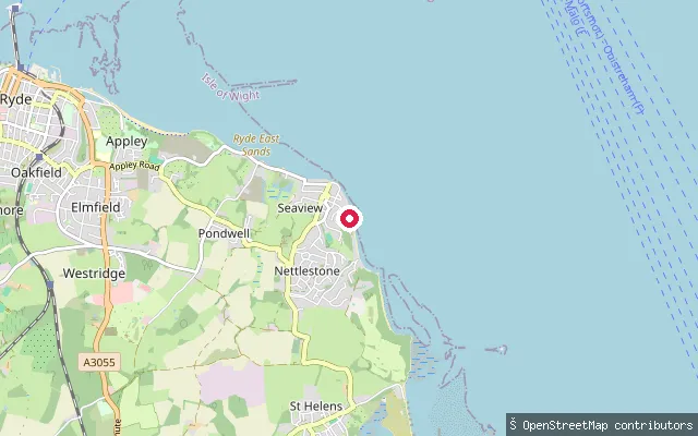
SeaPondwell put-in (Gully Road)
Isle of Wight, EnglandThis slipway on Gully Road gives access to the open Solent at Pondwell, a small coastal hamlet between Ryde and Seaview on the Isle of Wight's north-east coast. The shore here faces across the Solent towards the Hampshire coast.
 Sea
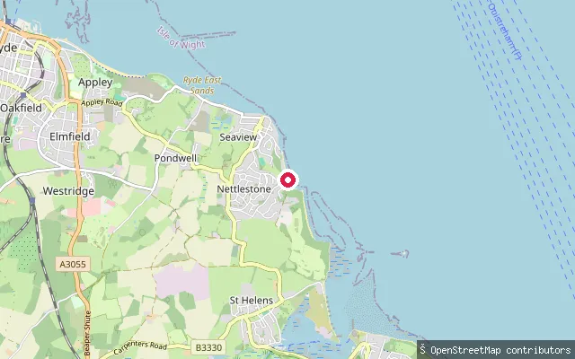
SeaSeaview slipway (Pier Road)
Isle of Wight, EnglandThis is the historic Seaview slipway on Pier Road, a community launch facility dating from the 1930s used by residents, holidaymakers, the sailing club, small boat owners and sea swimmers on the Solent. The Isle of Wight Council maintains it, though in 2026 the seaward end was closed after tidal erosion damaged the coastal defence wall beneath it.
 Sea
SeaPondwell put-in (Gully Road, north)
Isle of Wight, EnglandThis slipway, close to the previous Gully Road access point, also gives access to the open Solent at Pondwell on the Isle of Wight's north-east coast, facing across the Solent towards the Hampshire shore.
Save your own spots
Keep the places you launch, check the wind and shelter before you go, and log every paddle. Add a spot to the directory too, and other paddlers will find it. Free to start.
Some launch spots in this directory are seeded from open data. © OpenStreetMap contributors · Open Database Licence (ODbL)