Paddleboarding spots in Isle of Wight
80 launch spots across Isle of Wight
Every mapped spot in Isle of Wight
Zoom in to split a cluster; open a pin for the spotMap of every spot in Isle of Wight
The interactive map opens on any device with JavaScript. The full list of launch spots is below.
Launch spots
Showing 24 of 80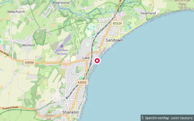 Sea
SeaLake put-in
Isle of Wight, EnglandA slipway on Sandown Bay's esplanade at the northern edge of Lake, where the settlement runs into Sandown. The beach is part of the sandy, gently sloping shoreline that extends the length of Sandown Bay.
 Sea
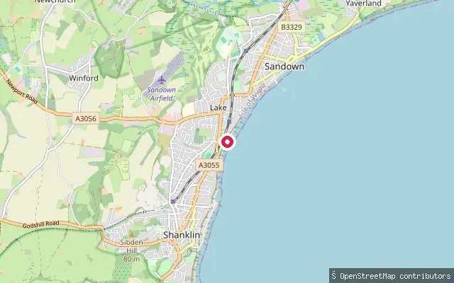
SeaLake put-in
Isle of Wight, EnglandA second slipway on Sandown Bay's sea wall at Lake, close to the Wight Water Adventure Watersports base on Dunroamin Beach. The beach here forms part of the roughly 8km stretch of tidal sand that runs from Luccombe to Culver, kept up by longshore drift along Sandown Bay's concordant coastline.
 Sea
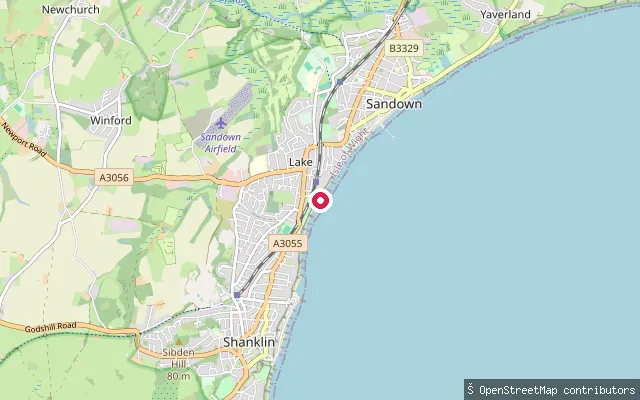
SeaLake put-in
Isle of Wight, EnglandThis slipway sits on the sea wall at Lake, the stretch of Sandown Bay between Shanklin and Sandown on the Isle of Wight's south-east coast. The Isle of Wight Council runs a seasonal beach zoning scheme with marker buoys along this shore to keep bathers and watersports users apart, and Wight Water Adventure Watersports hires kayaks and paddleboards from the beach nearby, known locally as Dunroamin Beach.
 Sea
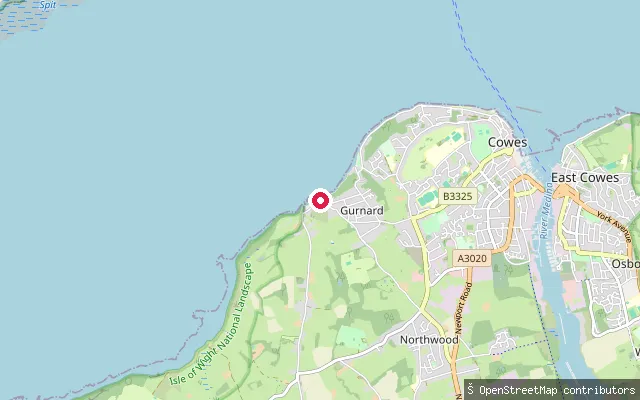
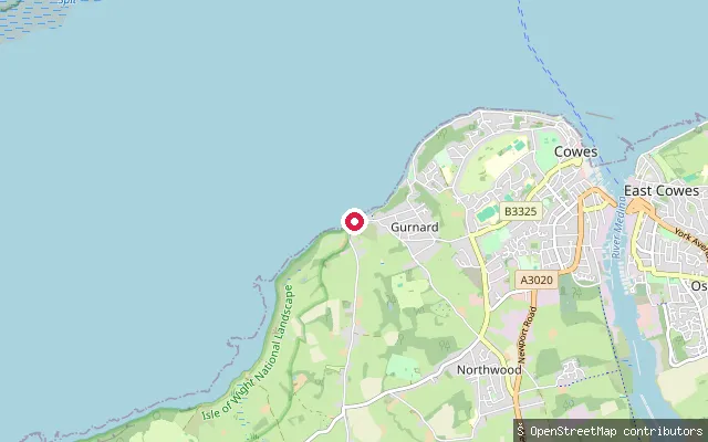
SeaGurnard put-in
Isle of Wight, EnglandThis launch point is on the Gurnard Bay shoreline near Gurnard Marsh, toward the bay's south-western end, close to where the small stream Gurnard Luck meets the sea. Gurnard Bay is a gently curving bay of the western Solent, and its seabed includes Gurnard Ledge, a reef marked with a buoy as a danger to shipping.
 Sea
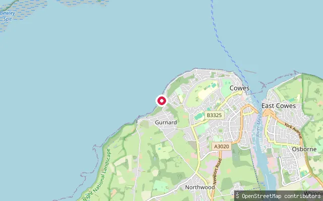
SeaGurnard put-in
Isle of Wight, EnglandThis launch point is on the Gurnard Bay shoreline near Gurnard Marsh, toward the bay's south-western end, close to where the small stream Gurnard Luck meets the sea. Gurnard Bay is a gently curving bay of the western Solent, and its seabed includes Gurnard Ledge, a reef marked with a buoy as a danger to shipping.
 Sea
SeaGurnard put-in
Isle of Wight, EnglandThis slipway is on Shore Road at Gurnard, giving access to Gurnard Bay, a gently curving bay about 2 km long on the western Solent shore of the Isle of Wight, between Gurnard Head and Egypt Point. A concrete slipway and steps lead onto the sand and shingle beach; the slipway itself is shallow, and the steps have handrails.
 Sea
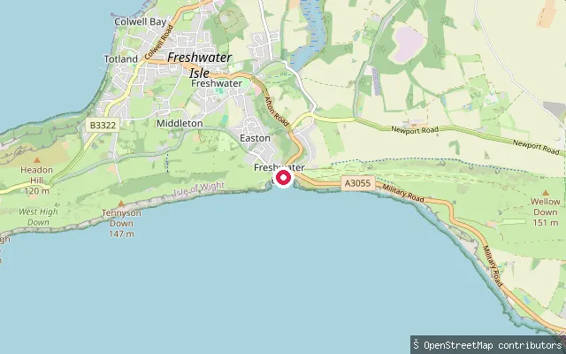
SeaFreshwater put-in
Isle of Wight, EnglandThis slipway launches into Freshwater Bay on the Isle of Wight's south coast, close to where the Western Yar rises before flowing north to Yarmouth. The bay opens directly onto the English Channel and can see swell and breaking waves, and local operators hire paddleboards and run trips from the beach here.
 Sea
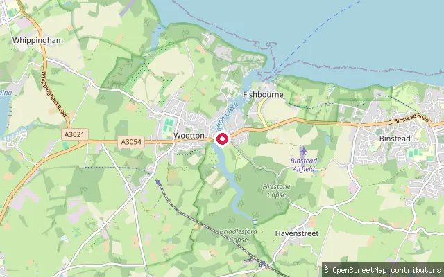
SeaFishbourne put-in
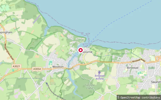
Isle of Wight, EnglandWootton Creek is a tidal inlet on the Isle of Wight's north coast, entering the Solent by the Fishbourne to Portsmouth car ferry terminal and running about half a mile inland to Wootton Bridge. This slipway sits on the creek's east (Fishbourne) bank close to the road bridge; the creek dries out at low water, so a launch here needs the tide.
 Sea
SeaFishbourne put-in
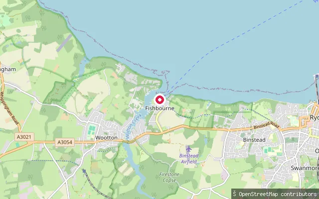
Isle of Wight, EnglandThis slipway sits further southwest along Wootton Creek's tidal channel, between the Fishbourne ferry terminal and Wootton Bridge. The creek here is flanked by drying mud flats and was historically lined with private boat-building yards and landings.
 Sea
SeaFishbourne put-in
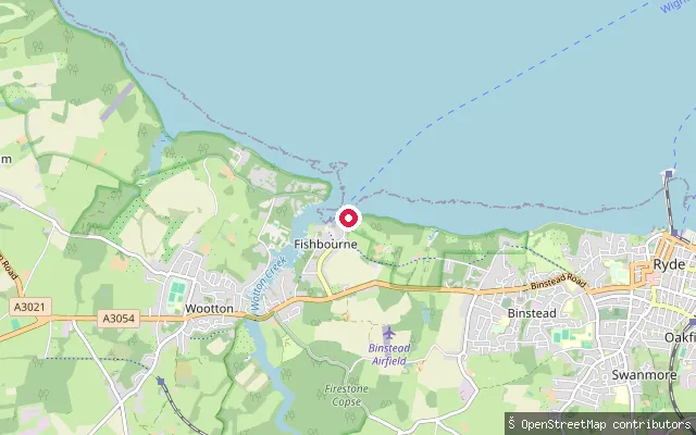
Isle of Wight, EnglandThis slipway lies further up the tidal channel of Wootton Creek, inland of the Fishbourne ferry terminal. Historically this bank held private moorings and small-craft slipways rather than a single formal launch point.
 Sea
SeaFishbourne put-in
Isle of Wight, EnglandThis slipway sits at Fishbourne, right where Wootton Creek meets the Solent beside the Wightlink ferry terminal. The creek dries out completely at low water springs, so the state of the tide governs when a put-in is possible. The stretch lies within the Dockyard Port of Portsmouth, where the King's Harbour Master regulates vessel movements.
 Sea
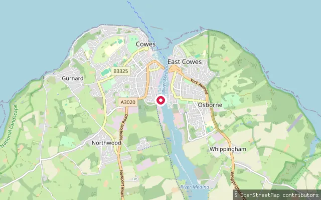
SeaDover Road Slip
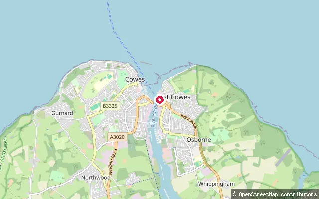
Isle of Wight, EnglandDover Road Slip is a concrete slipway on the east bank of the River Medina in East Cowes, next to the Red Funnel car ferry terminal, giving access to the water at all states of the tide. Public access is through a gate operated by Red Funnel staff.
 Sea
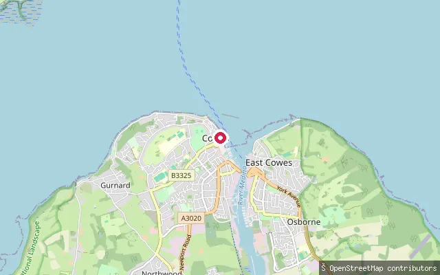
SeaCowes put-in
Isle of Wight, EnglandThis slipway sits on Cowes Parade, on the west shore where the River Medina's mouth meets the Solent. The nearby Watch House Slip gives access at all states of tide, though Cowes Harbour Commission warns of a strong cross-current from around two and a half hours before high water until low water.
 Sea
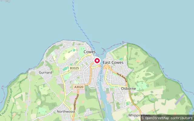
SeaThetis Slip
Isle of Wight, EnglandThis slipway lies on the west bank of the River Medina in Cowes Harbour, between Thetis Wharf and Shepards Wharf Marina. It suits small craft only, as it dries at low water, and the harbour's tidal stream can run to around 4 knots, strongest on the ebb near the chain ferry.
 Sea
SeaMedina Road Slipway
Isle of Wight, EnglandThis slipway is on Medina Road, on the west bank of the River Medina in Cowes Harbour, roughly opposite East Cowes Marina. The harbour's tidal stream can reach about 4 knots on a big ebb, easing further upstream, and paddleboarding is banned within the main ferry fairway to the north.
 Sea
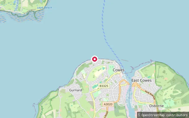
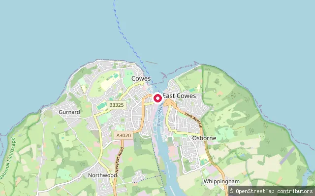
SeaGurnard Esplanade Slipway
Isle of Wight, EnglandThis slipway sits on the Solent-facing esplanade between Cowes and Gurnard on the Isle of Wight, clear of the River Medina harbour fairway to the east.
 Sea
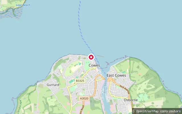
SeaMedina Road Slipway
Isle of Wight, EnglandThis slipway is on Medina Road, on the west bank of the River Medina in Cowes Harbour, roughly opposite East Cowes Marina. The harbour's tidal stream can reach about 4 knots on a big ebb, easing further upstream, and paddleboarding is banned within the main ferry fairway to the north.
 Sea
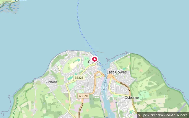
SeaCowes Parade Slipway
Isle of Wight, EnglandThis slipway sits on Cowes Parade (Esplanade Walk), the Solent-facing seafront promenade between the harbour mouth and Gurnard. Paddlers should keep clear of the beach off Prince's Green nearby, which sees heavy vessel traffic, and stay out of the main harbour fairway further south.
 Sea
SeaWatch House Slip
Isle of Wight, EnglandWatch House Slip sits at the south end of Cowes Parade on the Isle of Wight, a concrete slipway giving access to the Solent at all states of the tide. A strong cross-current can run past the slip from about two and a half hours before high water until low water.
 Sea
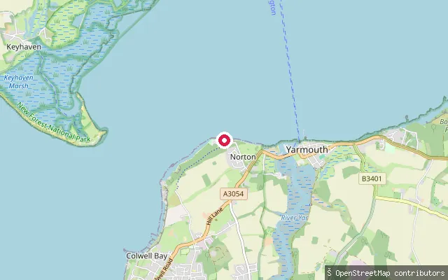
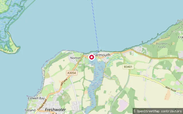
SeaFort Victoria slipway (Norton)
Isle of Wight, EnglandThis slipway is on Westhill Lane in Norton, the access road into Fort Victoria Country Park, and launches onto the open western Solent between Yarmouth and Colwell Bay. Fort Victoria was built between 1852 and 1855 to help defend the western approaches to the Solent, and the country park's nature trail now runs along this shoreline.
 Sea
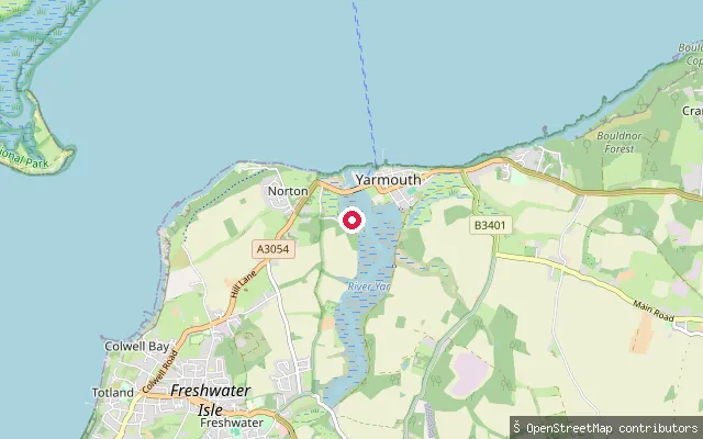
SeaBridge Road slipway (Norton)
Isle of Wight, EnglandThis slipway is on Bridge Road on the Norton side of the Western Yar estuary, opposite Yarmouth. The tidal reach here forms part of Yarmouth Harbour and lies within the Isle of Wight Area of Outstanding Natural Beauty and a biological Site of Special Scientific Interest for its saltmarsh and mudflat habitat.
 Sea
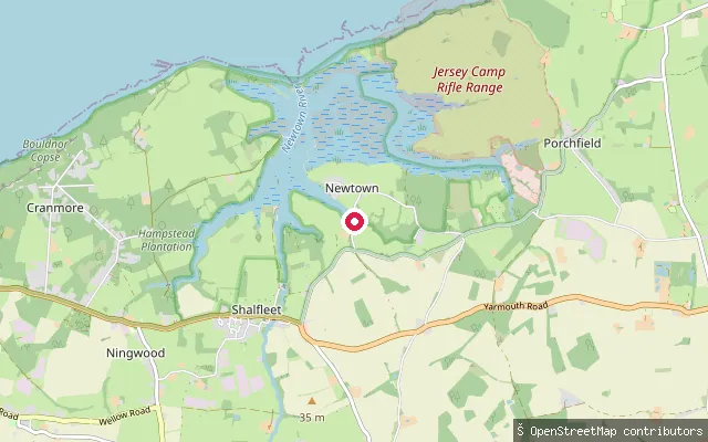
SeaNorton Green slipway
Isle of Wight, EnglandThis slipway is on Gasworks Lane in Norton Green, on the west bank of the Western Yar where the tidal estuary forms Yarmouth Harbour close to Yarmouth. The estuary here is tidal saltmarsh and mudflat, part of the Isle of Wight Area of Outstanding Natural Beauty and a biological Site of Special Scientific Interest. Yarmouth Harbour Commissioners ask anyone using a harbour slipway to contact the Harbour Office for permission and a fee before launching.
 Sea
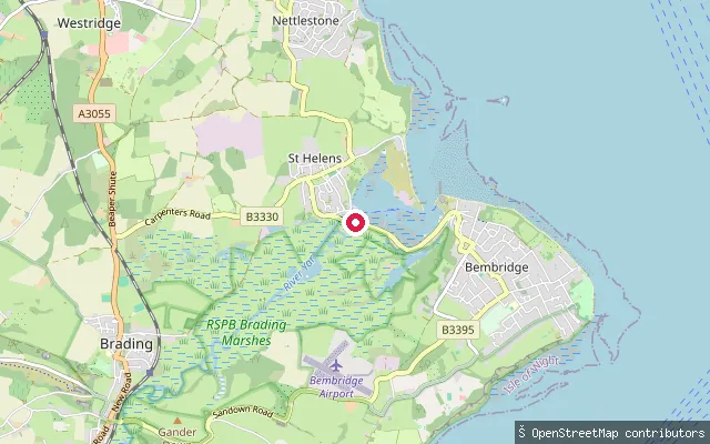
SeaNewtown River put-in (Porchfield)
Isle of Wight, EnglandThis slipway lies on Newtown River, the tidal natural harbour that opens onto the Solent on the Isle of Wight's north-west coast, near Porchfield. The surrounding Newtown National Nature Reserve is managed by the National Trust, which asks paddlers to launch from marked points and stay off the fragile saltmarsh that lines the creeks.
 Sea
SeaBembridge Harbour put-in (Embankment Road)
Isle of Wight, EnglandThis slipway is on Embankment Road, the road built along the reclaimed embankment at the south end of Bembridge Harbour, a natural tidal harbour on the north-east coast of the Isle of Wight. The harbour is run by the Bembridge Harbour Improvements Company as harbour authority, and its entrance channel shifts, so depth over the bar is tide-dependent.
Save your own spots
Keep the places you launch, check the wind and shelter before you go, and log every paddle. Add a spot to the directory too, and other paddlers will find it. Free to start.
Some launch spots in this directory are seeded from open data. © OpenStreetMap contributors · Open Database Licence (ODbL)