Paddleboarding spots in Na h-Eileanan Siar
120 launch spots across Na h-Eileanan Siar
Every mapped spot in Na h-Eileanan Siar
Zoom in to split a cluster; open a pin for the spotMap of every spot in Na h-Eileanan Siar
The interactive map opens on any device with JavaScript. The full list of launch spots is below.
Launch spots
Showing 24 of 120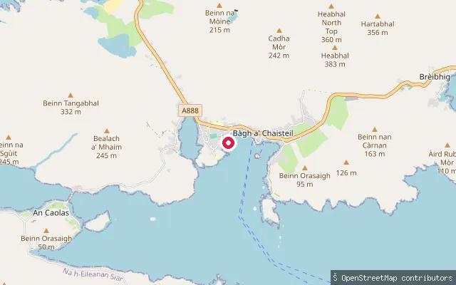 Sea
SeaNasg slipway (Castlebay)
Na h-Eileanan Siar, ScotlandThis slipway lies at Nasg, a small settlement on the shore of Castlebay east of the main village, within the wider bay that gives Barra's capital its name and shelters Kisimul Castle offshore. It has a concrete surface with permissive access and is marked on nautical charts as reachable by car. Castlebay itself has a marina with fuel and water available on the pier, plus a leisure centre with a pool and showers nearby.
 Sea
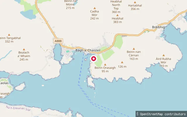
SeaLeideag slipway (Castlebay)
Na h-Eileanan Siar, ScotlandThis slipway lies near Gearraidh Gadhal, close to Leideag on the shore of Castlebay east of the main village, within the wider bay that shelters Kisimul Castle and gives Barra's capital its name. Castlebay itself has a marina with fuel and water available on the pier, plus a leisure centre with a pool and showers nearby.
 Sea
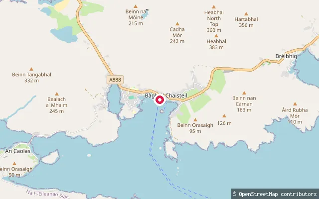
SeaLeideag slipway (Castlebay)
Na h-Eileanan Siar, ScotlandThis slipway lies at Leideag, a small settlement on the shore of Castlebay east of the main village, within the wider bay that shelters Kisimul Castle and gives Barra's capital its name. Leideag's Gaelic name is thought to describe a flat piece of ground beside the sea. Castlebay itself has a marina with fuel and water available on the pier, plus a leisure centre with a pool and showers nearby.
 Loch
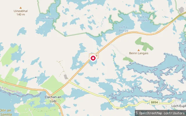
LochLangais put-in
Na h-Eileanan Siar, ScotlandA slipway on Loch Tormasad Beag, a small freshwater loch near Clachan an Lùib on North Uist, close to the Langais area and its chambered cairns. The loch is one of the freshwater trout lochs worked by North Uist Angling Club rather than a sea loch.
 Sea
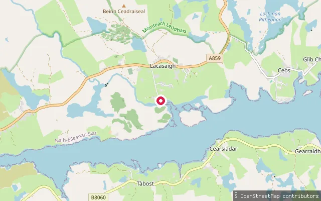
SeaLacasaigh put-in
Na h-Eileanan Siar, ScotlandThis slipway is at Laxay (Lacasaigh), a village on the north side of Loch Erisort about 9 miles southwest of Stornoway. The name is thought to derive from Old Norse for "salmon river".
 Sea
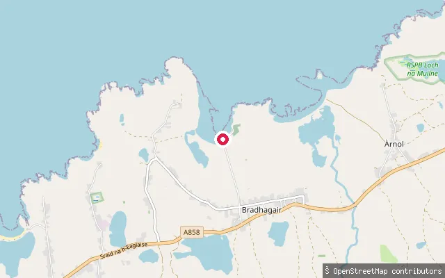
SeaLabost put-in (Bradhagair)
Na h-Eileanan Siar, ScotlandThis slipway sits at Labost, a small crofting hamlet on the Atlantic coast between Shawbost and Bragar on Lewis's West Side. No specific bay or beach name for this launch point could be verified, though the setting matches the string of coastal crofting townships either side of it.
 Sea
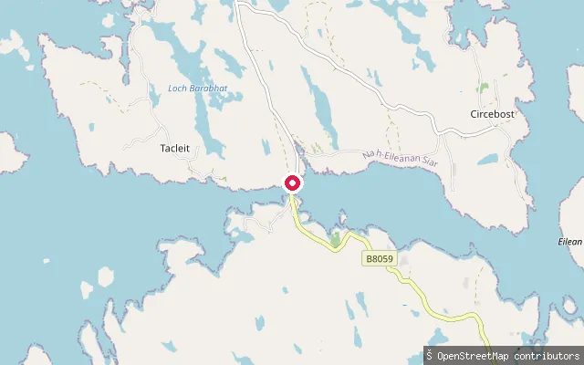
SeaIarsiadar put-in
Na h-Eileanan Siar, ScotlandA slipway at Earshader (Iarsiadar), a crofting village on Loch Barraglom, a tidal inlet of Loch Roag close to the Bernera bridge. Loch Barraglom contains the remains of a stone-walled tidal fish trap linking a small island to the shore.
 Sea
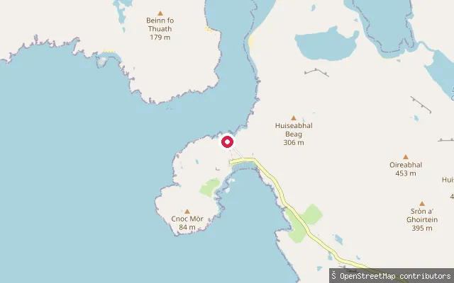
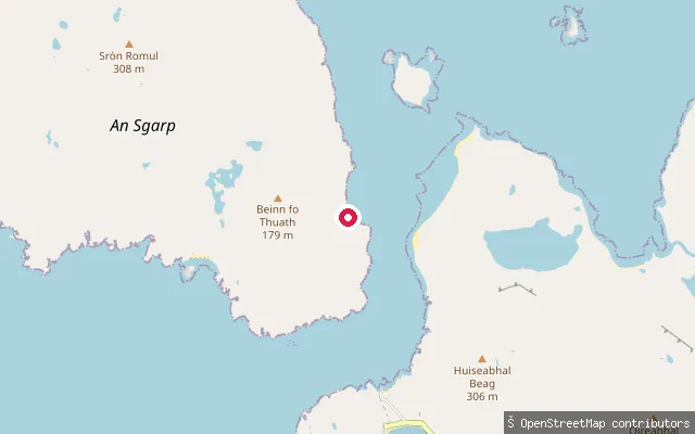
SeaPort a' Tuath slipway, Hushinish
Na h-Eileanan Siar, ScotlandA concrete slipway on the service track beside Port a' Tuath pier, the township harbour for Hushinish on North Harris, about 150 metres from the passenger pier itself.
 Sea
SeaHushinish jetty
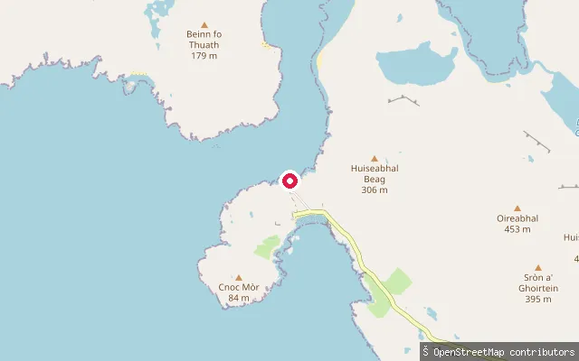
Na h-Eileanan Siar, ScotlandA slipway at the north end of Hushinish beach on the west coast of North Harris, beside a small shingle cove. Paddlers launch here for the crossing of well under a mile across the Kyle of Scarp to the uninhabited island of Scarp. A car park behind the beach has a visitor cabin with toilets and showers, though space is limited in summer.
 Sea
SeaPort a' Tuath pier, Hushinish
Na h-Eileanan Siar, ScotlandA pier named Port a' Tuath, Gaelic for north harbour, serving the scattered township of Hushinish on North Harris, about 1.5km south of the main beach car park and jetty. It sits on the sheltered coastal water toward the Kyle of Scarp.
 Sea
SeaHolm Slipway
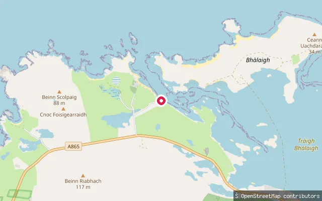
Na h-Eileanan Siar, ScotlandHolm Slipway is in the crofting township of Holm (Tolm), on the shore where Stornoway Harbour reaches the open sea toward Broad Bay. Holm Island, just offshore, marks the harbour's official outer boundary; beyond the slipway's OSM name and leisure=slipway tag, no further amenity detail is recorded.
 Sea
SeaGriminis put-in
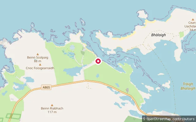
Na h-Eileanan Siar, ScotlandThis concrete slipway sits at Griminish Harbour, a small fishing landing on North Uist's north-west coast, close to Griminish Point.
 Sea
SeaGriminis put-in
Na h-Eileanan Siar, ScotlandThis slipway serves Griminish Harbour, a small fishing landing on North Uist's north-west coast near Griminish Point, used for creel boats and a landing craft. Sources describe the approach from the sea as tricky, with hidden reefs and sandbars near the entrance.
 Sea
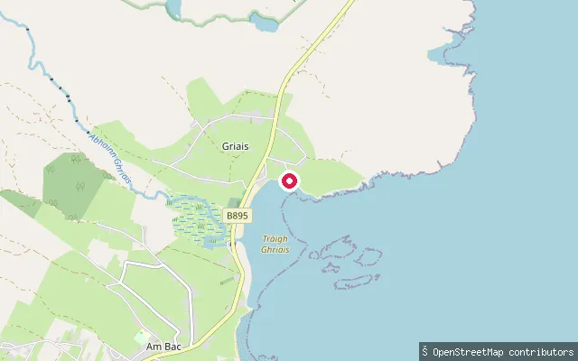
SeaGriais put-in
Na h-Eileanan Siar, ScotlandThis launch point is at Gress (Griais), a shell-sand beach on Broad Bay on Lewis's east coast, just north of Back. Tràigh Ghriais is described as a sheltered bay reached from a small car park, more commonly visited for walking and wild swimming than paddling, and no dedicated paddling access details were found for this point.
 Sea
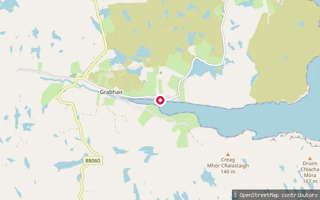
SeaGrabhair put-in
Na h-Eileanan Siar, ScotlandThis slipway is at Gravir (Grabhair), a village on the shore of Loch Odhairn, a sea loch in the Pairc district of Lewis. The village pier is mainly used by fish-farming vessels working a Bakkafrost salmon farm on the loch, alongside small fishing and leisure craft.
 Sea
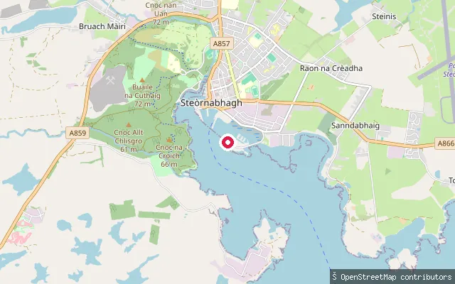
SeaGoat Island Slipway
Na h-Eileanan Siar, ScotlandGoat Island Slipway is a small-craft launch point in Stornoway Harbour, near Lews Castle grounds and the Newton Basin development on the north side of the harbour. It is fitted with a cable winch and is named directly on OpenStreetMap.
 Sea
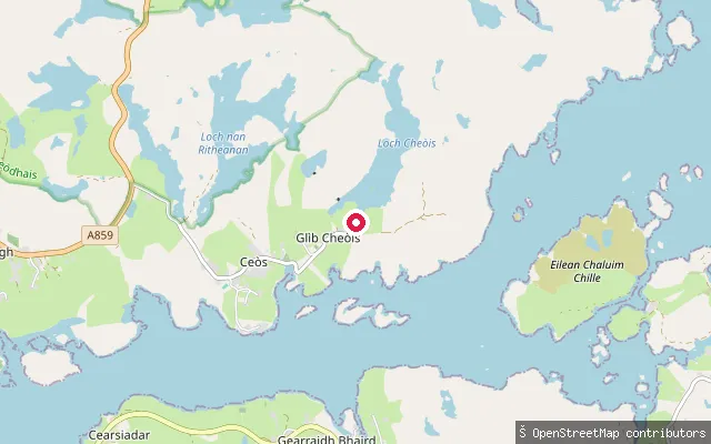
SeaGlìb Cheòis put-in
Na h-Eileanan Siar, ScotlandThis slipway serves Keose Glebe (Glìb Cheòis), a small settlement in the North Lochs district of Lewis on the north shore of Loch Erisort, immediately east of Keose. Loch Erisort is an 8-mile sea inlet running from the Minch into the interior of Lewis.
 Sea
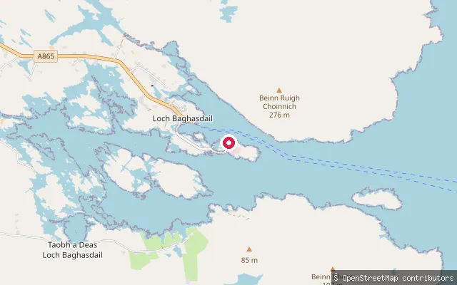
SeaGleann Dail bho Tuath put-in (Loch Baghasdail)
Na h-Eileanan Siar, ScotlandThis slipway sits on the south shore of Loch Boisdale, a sea loch on South Uist's east coast that also holds the island's main CalMac ferry harbour at Lochboisdale village. It serves North Glendale (Gleann Dail bho Tuath), a small settlement about a mile east of Lochboisdale that is reachable only by a track.
 Sea
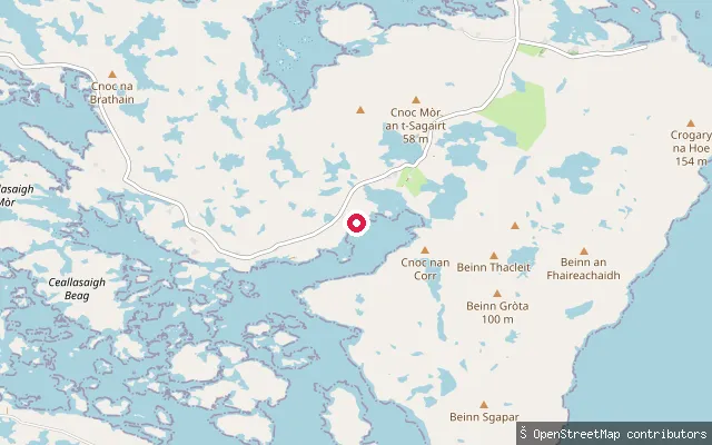
SeaFilleam put-in (Loch Portain)
Na h-Eileanan Siar, ScotlandA slipway on Loch Portain, a convoluted sea loch on North Uist's north-east coast scattered with more than 200 islets and a mix of freshwater and saltwater habitats. It serves Lochportain, a small crofting and fishing community about nine miles from Lochmaddy, which also overlooks the adjoining freshwater Priest's Loch.
 Sea
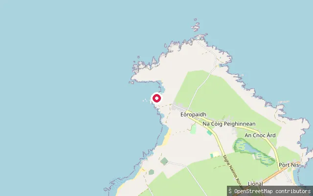
SeaCundal slipway
Na h-Eileanan Siar, ScotlandA concrete slipway at Cunndal, a small bay on the coast just south of the Butt of Lewis near Eoropie (Eòropaidh), the most northerly village on Lewis. OSM records the surface as concrete in excellent condition, with launch by car. A stone memorial at Cunndal commemorates a shipwreck on 5 March 1885.
 Sea
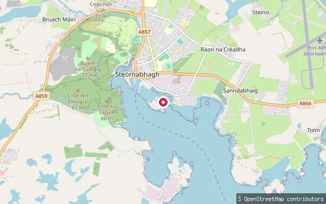
SeaEinicleit put-in (Steòrnabhagh)
Na h-Eileanan Siar, ScotlandThis slipway is in the Einicleit area of Stornoway, close to Newton Marina on the north side of Stornoway Harbour. Newton Marina, completed in 2019 and opened in 2021, added a 75-berth pontoon facility, a concrete public slipway and a 100-tonne boat hoist to the harbour's existing Inner Harbour marina.
 Sea
SeaEilean Anabaich put-in (Màraig)
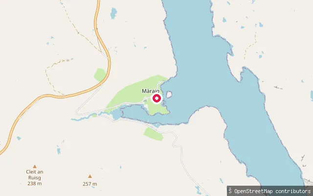
Na h-Eileanan Siar, ScotlandThis slipway lies further round the Loch Seaforth shore toward Eilean Anabaich, a small hamlet within Màraig on Harris. It connects to a short service track and, like the nearby slipways, appears to serve local boat traffic.
 Sea
SeaEilean Anabaich put-in (Màraig)
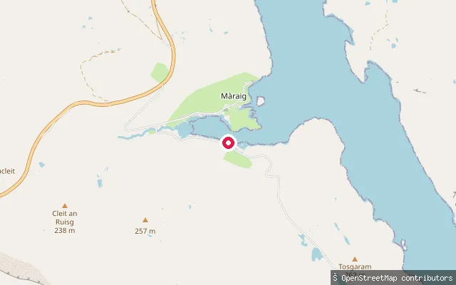
Na h-Eileanan Siar, ScotlandA second slipway on the Loch Seaforth shore near Màraig, about 700 metres east of the private launch point nearby. OpenStreetMap records no access restriction here, though the site sits within the small hamlet of Eilean Anabaich and likely serves local moorings.
 Sea
SeaEilean Anabaich put-in (Màraig)
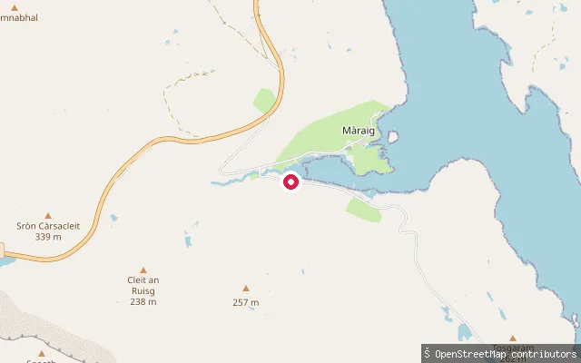
Na h-Eileanan Siar, ScotlandThis slipway sits on the shore of Loch Maraig, a sheltered embayment on the west side of Loch Seaforth near Màraig on Harris. OpenStreetMap records the access as private, so it works as a local launch point rather than a public one.
Save your own spots
Keep the places you launch, check the wind and shelter before you go, and log every paddle. Add a spot to the directory too, and other paddlers will find it. Free to start.
Some launch spots in this directory are seeded from open data. © OpenStreetMap contributors · Open Database Licence (ODbL)