Paddleboarding spots in Na h-Eileanan Siar
120 launch spots across Na h-Eileanan Siar
Every mapped spot in Na h-Eileanan Siar
Zoom in to split a cluster; open a pin for the spotMap of every spot in Na h-Eileanan Siar
The interactive map opens on any device with JavaScript. The full list of launch spots is below.
Launch spots
Showing 24 of 120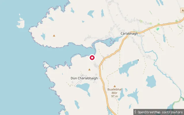 Sea
SeaDùn Chàrlabhaigh put-in
Na h-Eileanan Siar, ScotlandThis slipway, named 'carloway slipways' on OpenStreetMap, opens onto Loch Carloway, a sea inlet of East Loch Roag on Lewis's west coast, in the Cìrbhig (Kirivick) part of Carloway district. The Iron Age broch of Dun Carloway stands on a hillside a short distance away, overlooking the same loch.
 Sea
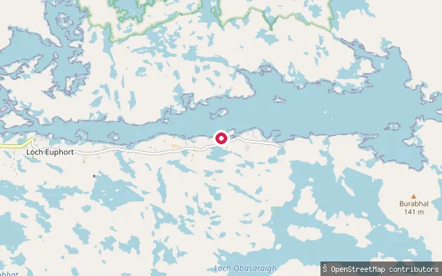
SeaDruim Saighdinis put-in
Na h-Eileanan Siar, ScotlandA concrete slipway on the shore of Loch Eport, a sea loch that cuts about five kilometres into the east coast of North Uist south of Lochmaddy. It sits at Sidinish (Druim Saighdinis), part of the scattered crofting township of Locheport strung along the loch's shore.
 Sea
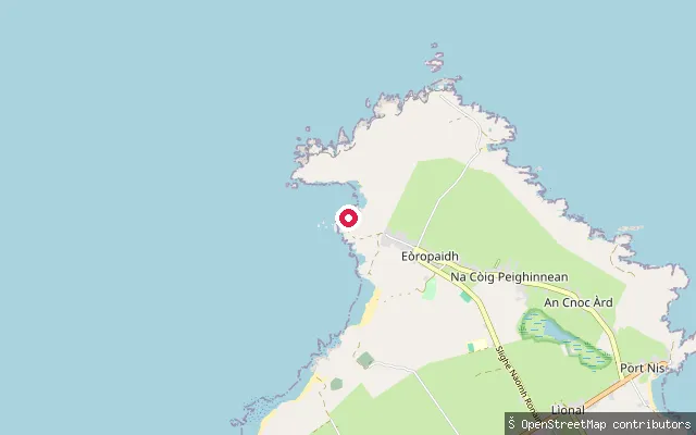
SeaCundal slipway
Na h-Eileanan Siar, ScotlandA slipway at Cunndal, a small bay on the coast just south of the Butt of Lewis near Eoropie (Eòropaidh), the most northerly village on the Isle of Lewis. The slipway surface is concrete and OSM rates its smoothness as excellent, with launch by car.
 Sea
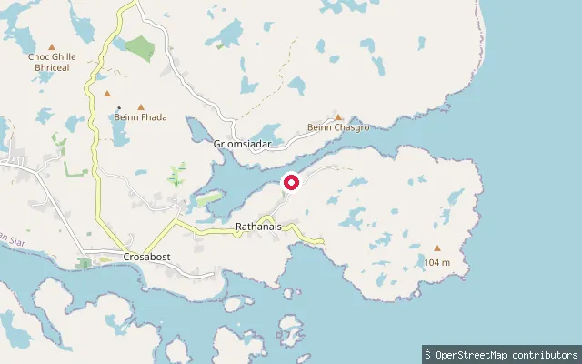
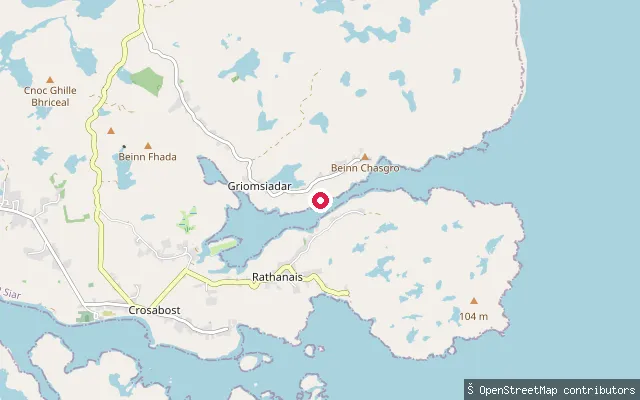
SeaCuidhir put-in (Rathanais)
Na h-Eileanan Siar, ScotlandThis slipway is mapped at Cuidhir hamlet within Ranish (Rathanais), on the peninsula neck between Loch Grimshader and Loch Erisort on Lewis's east coast. The way is tagged as a service road leading to a slipway, roughly 300 metres from the other Cuidhir put-in node in this set.
 Sea
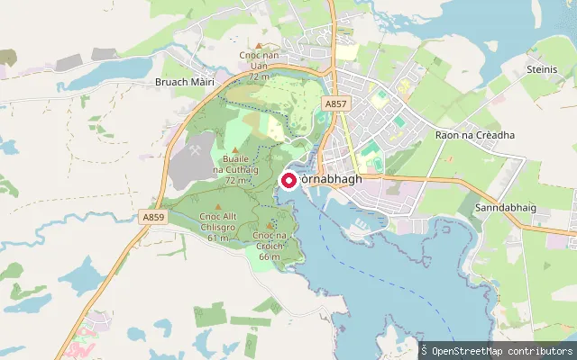
SeaCuidhir put-in (Rathanais)
Na h-Eileanan Siar, ScotlandThis slipway sits at Cuidhir, part of Ranish (Rathanais), on the narrow neck of the Aird Ranish peninsula that separates Loch Grimshader to the north from Loch Erisort to the south. Loch Grimshader is a sheltered sea loch that narrows to a channel here before opening out again toward its head.
 Sea
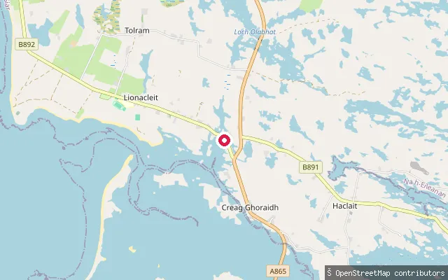
SeaCuddy Point Slipway
Na h-Eileanan Siar, ScotlandCuddy Point Slipway is a community-owned slipway in the grounds of Lews Castle, on Stornoway Harbour, across the water from Newton Marina. It is free to use, maintained by Stornoway Port Authority, with a cafe at the nearby Woodland Centre.
 Sea
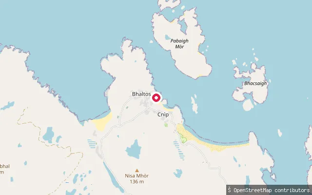
SeaCreag Ghoraidh put-in
Na h-Eileanan Siar, ScotlandA concrete slipway at Creagorry (Creag Ghoraidh), a hamlet on Benbecula's southern approach to the South Ford Causeway. It launches onto the South Ford, the tidal channel that separates Benbecula from South Uist.
 Sea
SeaCnìp put-in
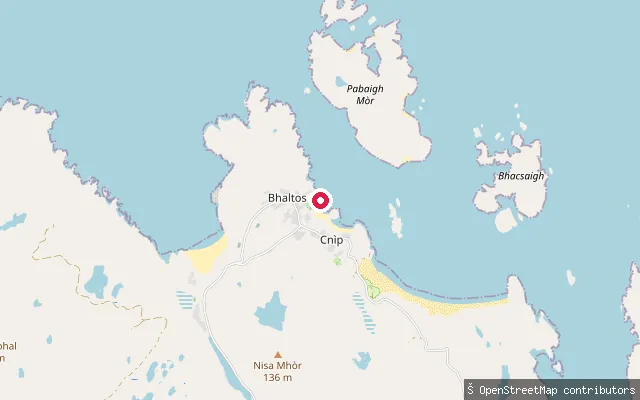
Na h-Eileanan Siar, ScotlandThis slipway serves the Atlantic coast of the Bhaltos peninsula near Cnìp (Kneep) and Cliobh (Cliff) in Uig, an area of shell-sand beaches and machair that has been community-owned since 1999. The Cnìp headland close by is known for a Viking-era boat burial and Bronze Age burials, and the long sweep of Traigh na Beirghe (Reef Beach) lies a short distance to the north-east.
 Sea
SeaCnìp put-in
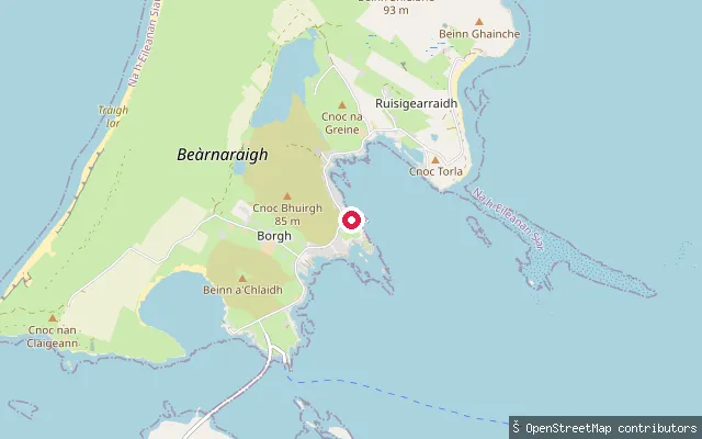
Na h-Eileanan Siar, ScotlandA slipway at Cnip (Kneep), the township that holds a community-owned campsite on the dunes above Traigh na Beirigh (Reef Beach). The turquoise water off this mile-long sandy beach is used locally for wild swimming, kayaking and canoeing.
 Sea
SeaCnoc Gunna put-in (Ruisigearraidh)
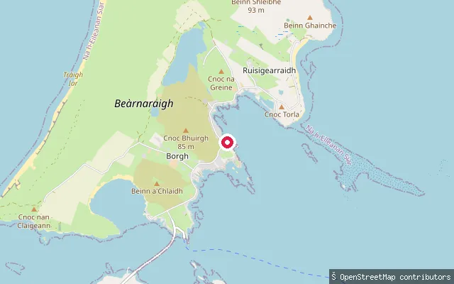
Na h-Eileanan Siar, ScotlandThis slipway is on the east side of Berneray near Ruisgarry (Ruisigearraidh), facing the Sound of Harris, the channel between Berneray, North Uist and Harris. The Sound is scattered with islands and reefs and forms part of the South Lewis, Harris and North Uist National Scenic Area.
 Sea
SeaCnoc Gunna put-in (Ruisigearraidh)
Na h-Eileanan Siar, ScotlandA third small slipway on the same short stretch of shore near Ruisgarry (Ruisigearraidh) on Berneray's east coast, facing the Sound of Harris.
 Sea
SeaCnoc Easgann put-in (Mànais)
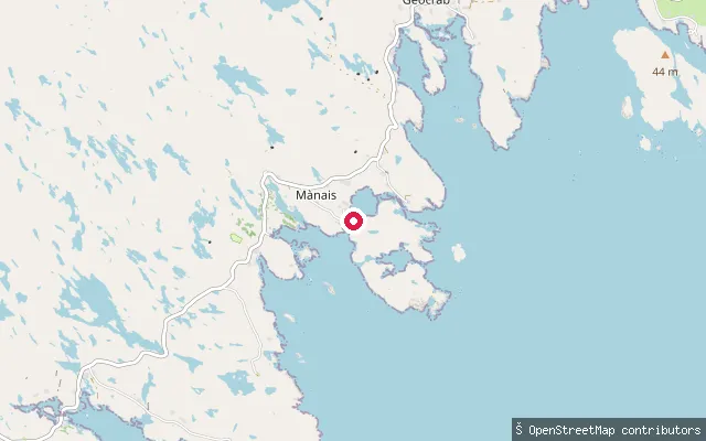
Na h-Eileanan Siar, ScotlandA slipway near Ardslave in the township of Manish (Mànais), one of the scattered crofting settlements strung along the rocky east coast of South Harris in the Bays district, facing the Minch. Manish lies roughly 8km (5 miles) north-east of Rodel, between the townships of Flodabay and Ardslave.
 Sea
SeaCircebost put-in
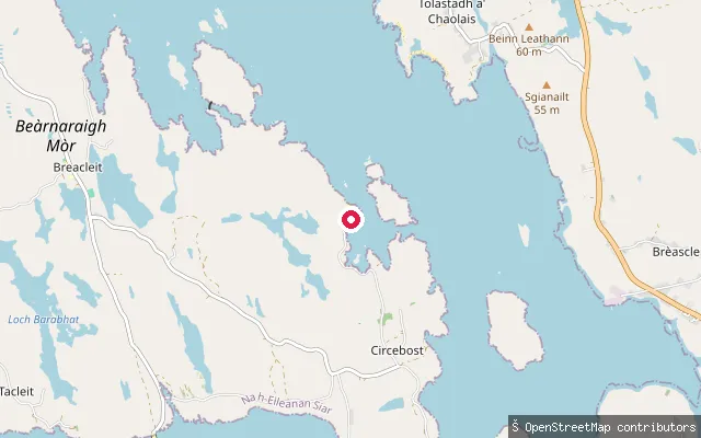
Na h-Eileanan Siar, ScotlandA slipway at Kirkibost (Circebost), a crofting township on the southeast coast of Great Bernera overlooking East Loch Roag. A pontoon was added at the nearby Kirkibost pier in 2022, described as the only one on the west coast of Lewis.
 Sea
SeaCeòs put-in
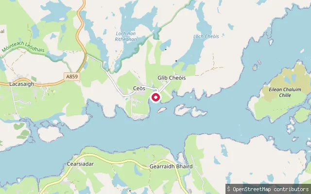
Na h-Eileanan Siar, ScotlandThis slipway is at Keose (Ceòs), a crofting township in the North Lochs district on the north shore of Loch Erisort, about 8 miles southwest of Stornoway. It is a concrete slipway reached along a short service track.
 Sea
SeaCeannairidh put-in (Am Bàgh Mòr)
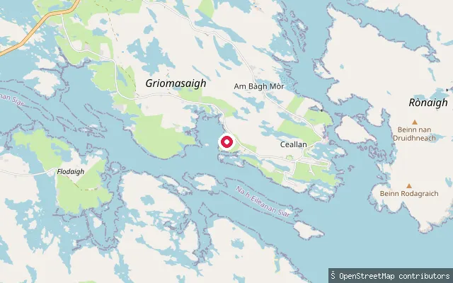
Na h-Eileanan Siar, ScotlandA slipway on Bàgh Mòr, a bay on Grimsay looking across to Eaval on North Uist. Baymore (Am Bàgh Mòr) is one of Grimsay's two main settlements, and the point sits close to Ceann na h-Àirigh, the community's former Free Church, now a heritage and visitor centre.
 Sea
SeaCeallan put-in
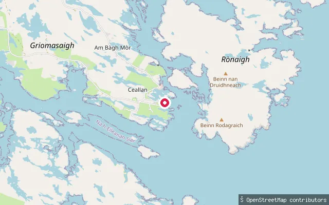
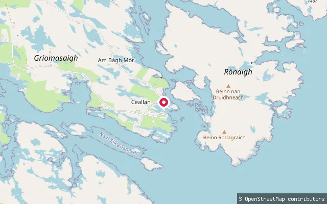
Na h-Eileanan Siar, ScotlandA slipway at the southern edge of Kallin Harbour, Grimsay, part of the same working fishing harbour that serves the island's lobster, prawn and scallop boats.
 Sea
SeaCeallan put-in
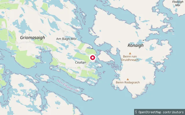
Na h-Eileanan Siar, ScotlandA further slipway within Kallin Harbour on Grimsay, the shellfish fleet's base at the island's south-eastern tip, close to the harbour's stone pier.
 Sea
SeaCeallan put-in
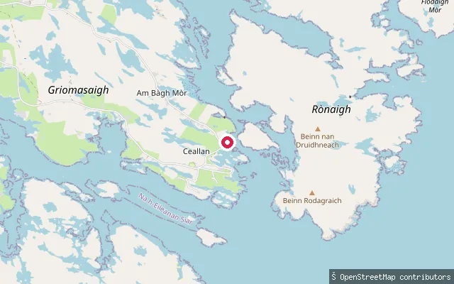
Na h-Eileanan Siar, ScotlandA concrete slipway at Kallin (Ceallan), the working fishing harbour at Grimsay's south-eastern tip and base for the island's shellfish fleet. The pier has water, ice and a crane for boat handling, though berthing space is limited.
 Sea
SeaCeallan put-in
Na h-Eileanan Siar, ScotlandAnother concrete slipway within Kallin Harbour, Grimsay's shellfish-fishing harbour on the island's south-eastern tip, roughly 40 metres from the harbour's other launch points.
 Sea
SeaCarnach put-in (Caolas Scalpaigh)
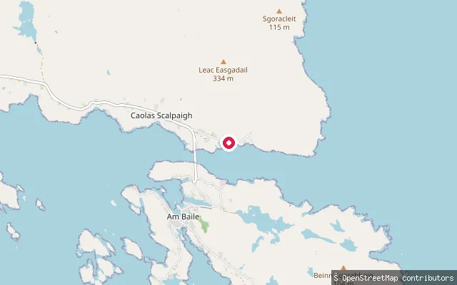
Na h-Eileanan Siar, ScotlandCarnach is a small settlement at Caolas Scalpaigh, the Kyles of Scalpay, on the Harris shore opposite Scalpay island. The strait here is deep and steep-sided with rapid tidal flows, which is why a bridge was built across it in 1997 rather than a causeway.
 Sea
SeaCarnach put-in (Caolas Scalpaigh)
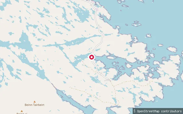
Na h-Eileanan Siar, ScotlandThis is a second put-in at Carnach, Caolas Scalpaigh, the Kyles of Scalpay, on the Harris shore opposite Scalpay island. The strait here is deep and steep-sided with rapid tidal flows, which is why a bridge was built across it in 1997 rather than a causeway.
 Sea
SeaCaolas Liubharsaigh put-in
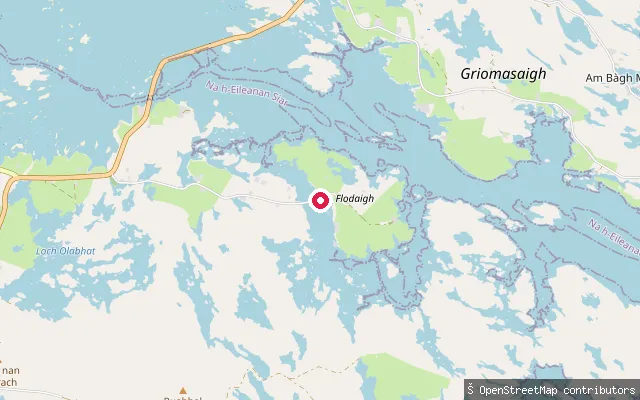
Na h-Eileanan Siar, ScotlandA slipway in the scattered township of Caolas Liubharsaigh on South Uist's tidal east coast, launching onto the strait (caolas) that gives the settlement its name. The township includes a ruined schoolhouse and looks out toward the hill Hecla.
 Sea
SeaCaolas Fhlodaigh put-in
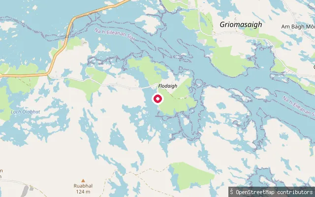
Na h-Eileanan Siar, ScotlandA second concrete slipway at Kyles Flodda, around 250 metres north-east of the harbour's other launch point, also opening onto the tidal kyle of Caolas Fhlodaigh between North Uist and Grimsay.
 Sea
SeaCaolas Fhlodaigh put-in
Na h-Eileanan Siar, ScotlandA concrete slipway at Kyles Flodda, on the North Ford causeway route between North Uist and Grimsay. It launches onto Caolas Fhlodaigh, the tidal kyle around the island of Flodaigh that gives the hamlet its name.
Save your own spots
Keep the places you launch, check the wind and shelter before you go, and log every paddle. Add a spot to the directory too, and other paddlers will find it. Free to start.
Some launch spots in this directory are seeded from open data. © OpenStreetMap contributors · Open Database Licence (ODbL)